Most of the hikes I’ve featured on this blog are in Alberta’s Rocky Mountains, with good reason. The scenery in these mountains is truly spectacular, the altitude not overly taxing, and the long summer days are usually dry and sunny. But there’s a lot more to Alberta than its Rocky Mountains. Most of the province is actually composed of vast rolling prairies within which you’ll find limited regions known as “the Badlands”. The Badlands are one of the most unique ecosystems in Alberta, a mostly treeless environment that offers expansive and colorful vistas of eroded, banded mesas, buttes, and coulees.
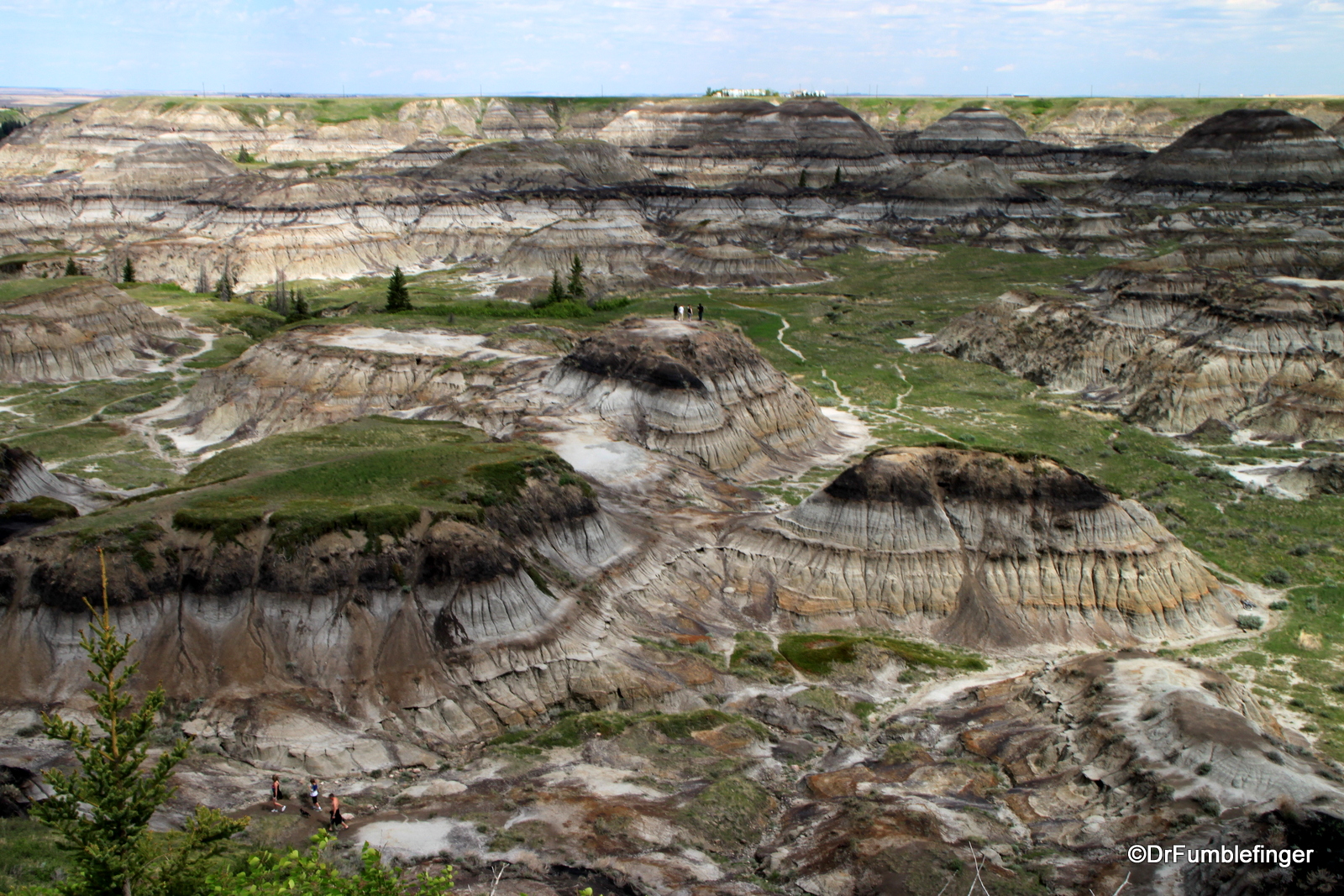
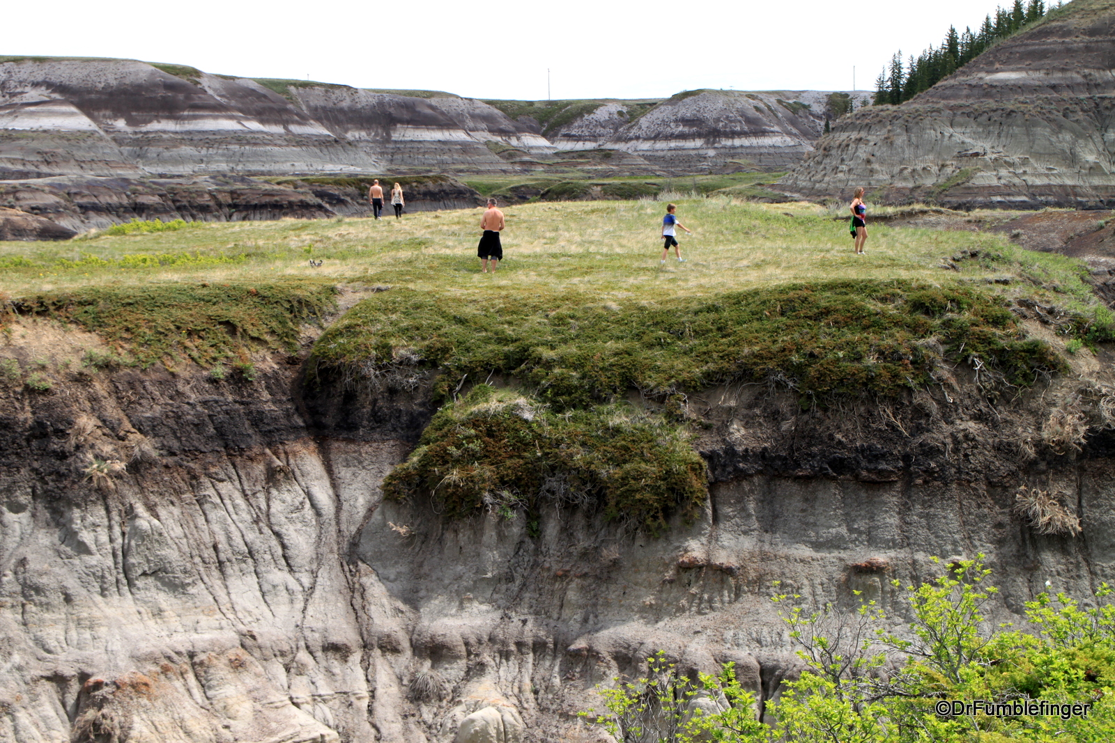
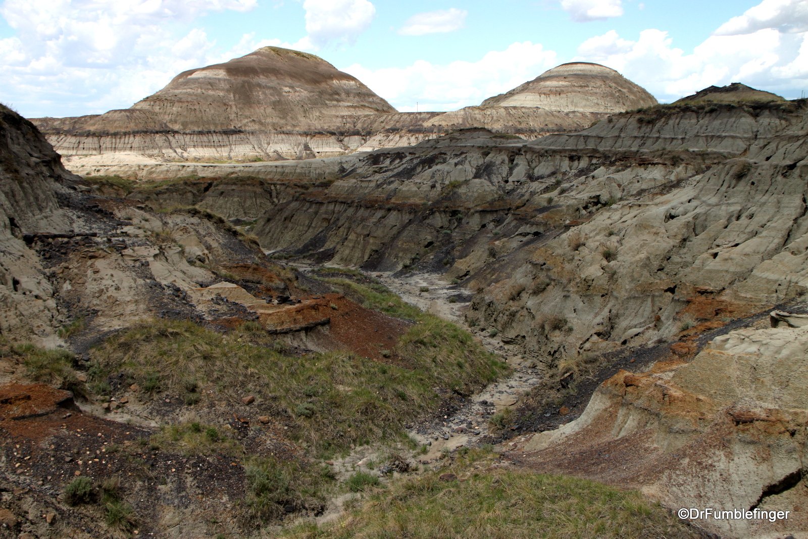
The easiest place to explore the Badlands is at Horseshoe Canyon, just over an hour’s drive north of Calgary, near Drumheller, the Dinosaur Capitol of the world. We’ll pay a visit Drumheller and its fabulous dinosaur museum in a blog soon, but today I’d like to describe a hike into the eroded Badlands landscape of Horseshoe Canyon. The Canyon is just a minute off the main highway to Drumheller, there’s abundant parking and immediately adjoining the parking lot a clifftop overview of these badlands as seen in the photo above. On a sunny day, the views are especially dramatic and the canyon inviting.

Horseshoe Canyon
A Brief History of the Badlands:
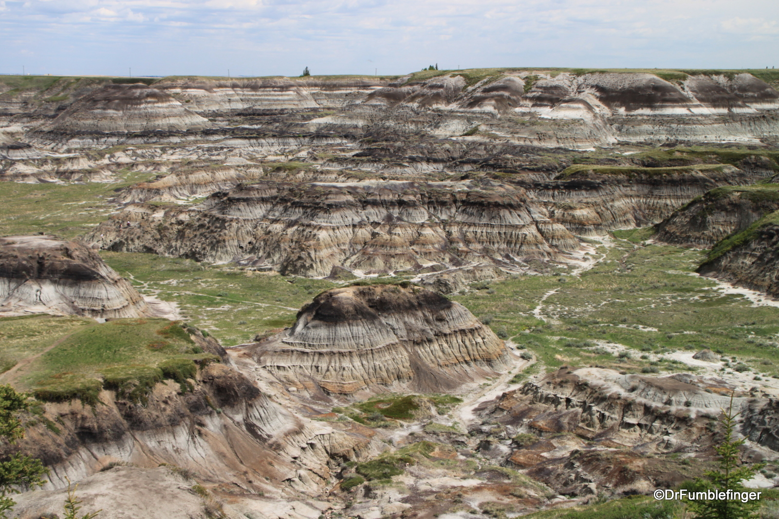
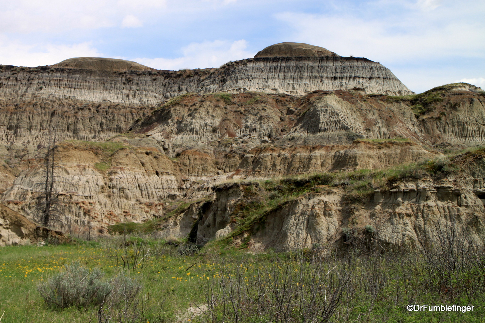
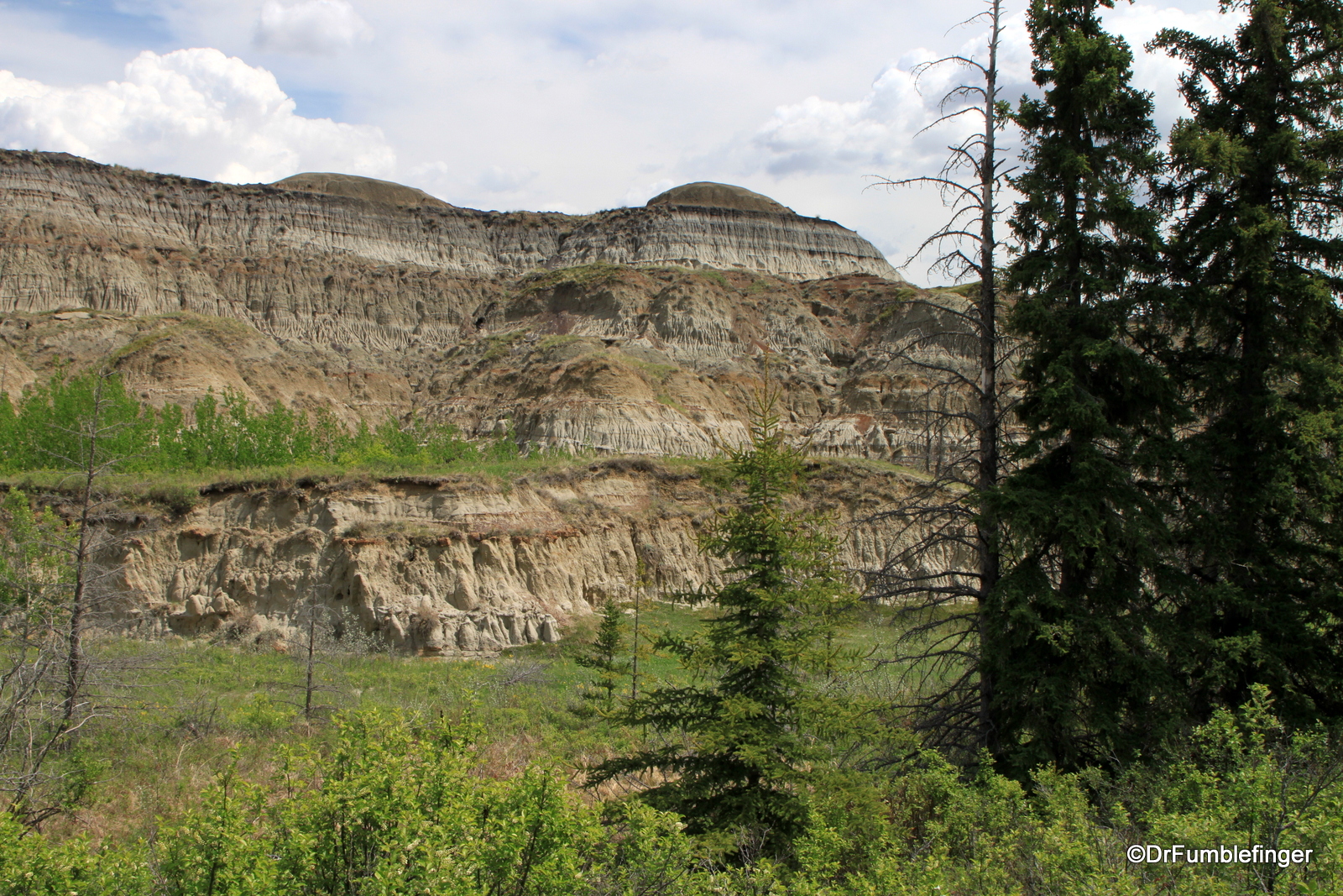
The rocks that form the Badlands were deposited by sedimentation during the Cretaceous period, about 68-70 million years ago, around the time the Rocky Mountains were forming. You can see these colorful banded layers exposed on the walls of the Badlands. Trapped within these layers of sedimentary rock are large numbers of fossils.
Fast forward to the end of the last great Ice Age (some 12-15,000 years ago), when sheets of ice up to 1 km thick covered most of Alberta. As the planet warmed and the ice began to melt and retreat, the glacial runoff carved channels into the land that formed the beginning of places like Horseshoe Canyon. The process of erosion has been ongoing and still continues. In 1743, French Canadian explorers first encountered this landscape which they described as “mauvaise terre,” or “badlands.” The name stuck as these were bad lands through which to travel or to farm or raise cattle.

Hiking Horseshoe Canyon:
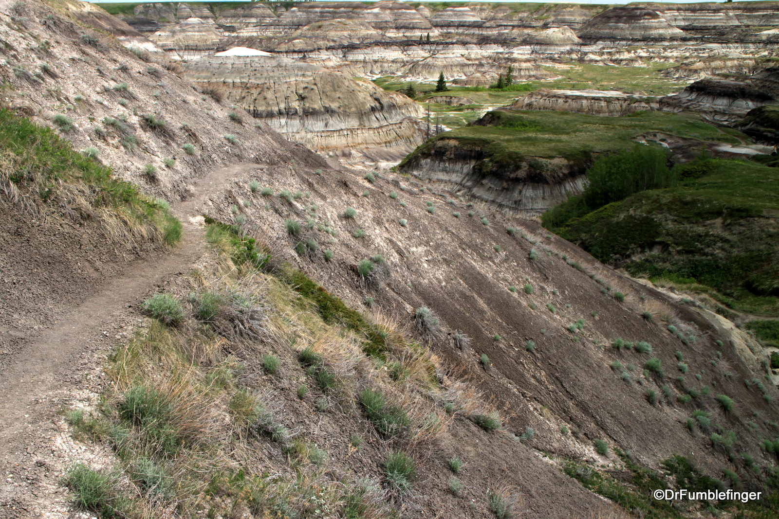
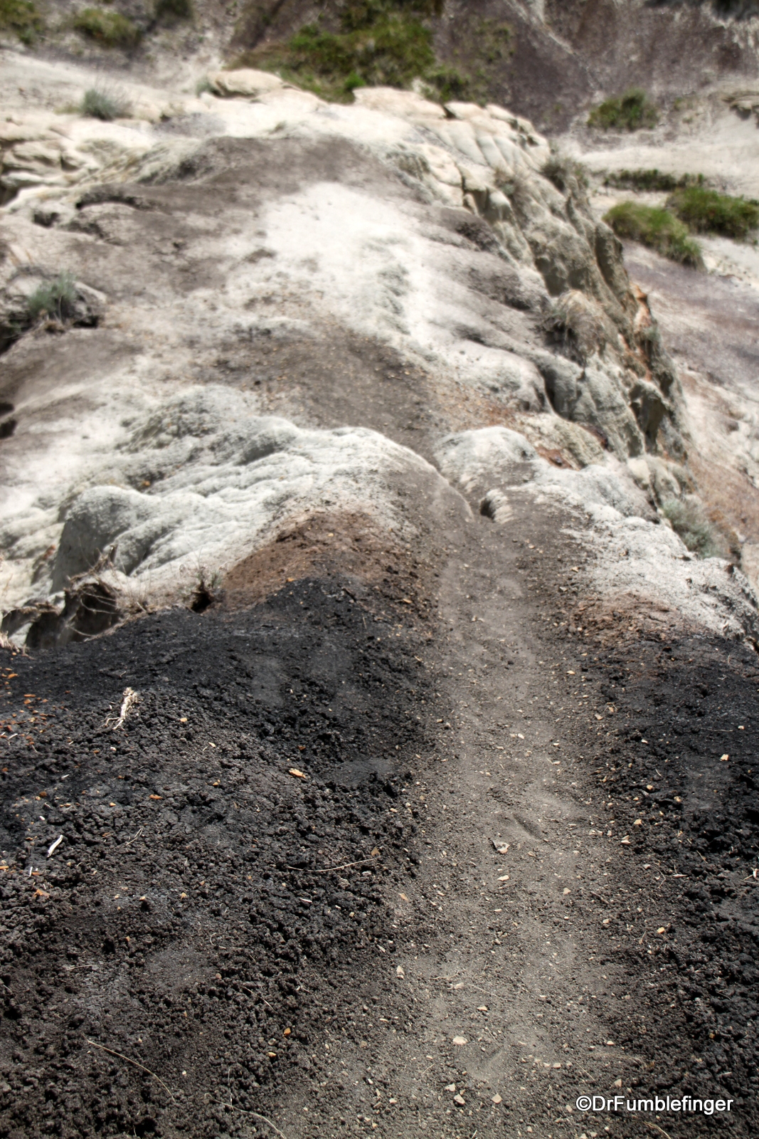
While I’d stopped at the rim of Horseshoe Canyon a number of times over the years, this was my first venture into the canyon itself. Timing of a hike here is important, as you need a dry day. There’s a lot of clay in the canyon which is very slippery when wet, hence, the reason the hike should not be undertaken except in dry conditions. There are no established trails so trekking poles and good traction hiking boots are very recommended to help you keep your grip and balance as you descend the paths folks have worn into the canyon. Lastly, the bottom of the canyon is much warmer than the parking lot is (at times very hot!), even though only 60 m (just under 200 ft) from the canyon’s rim, so be sure you use sunscreen, wear a hat, and have at least one water bottle with you.
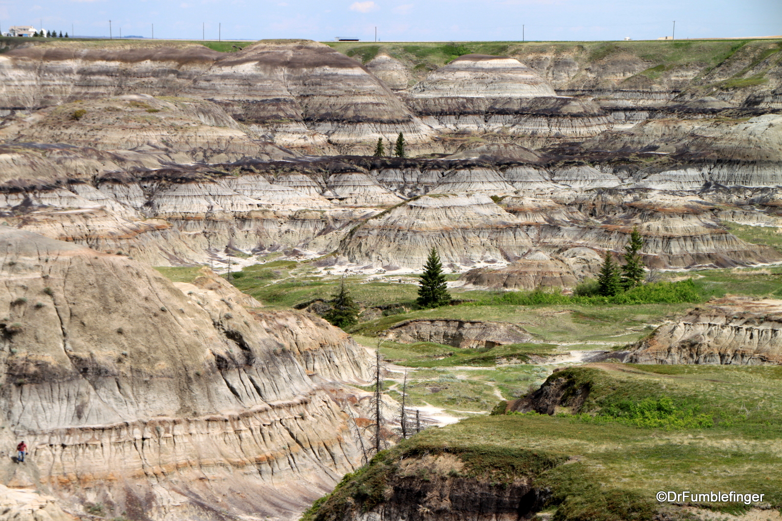
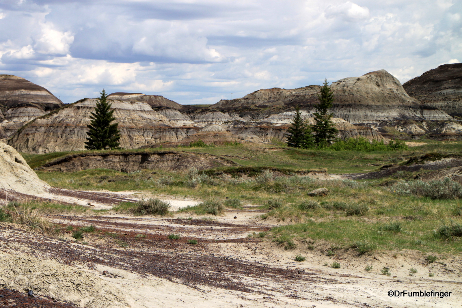
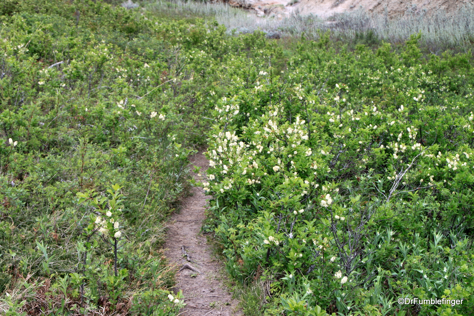
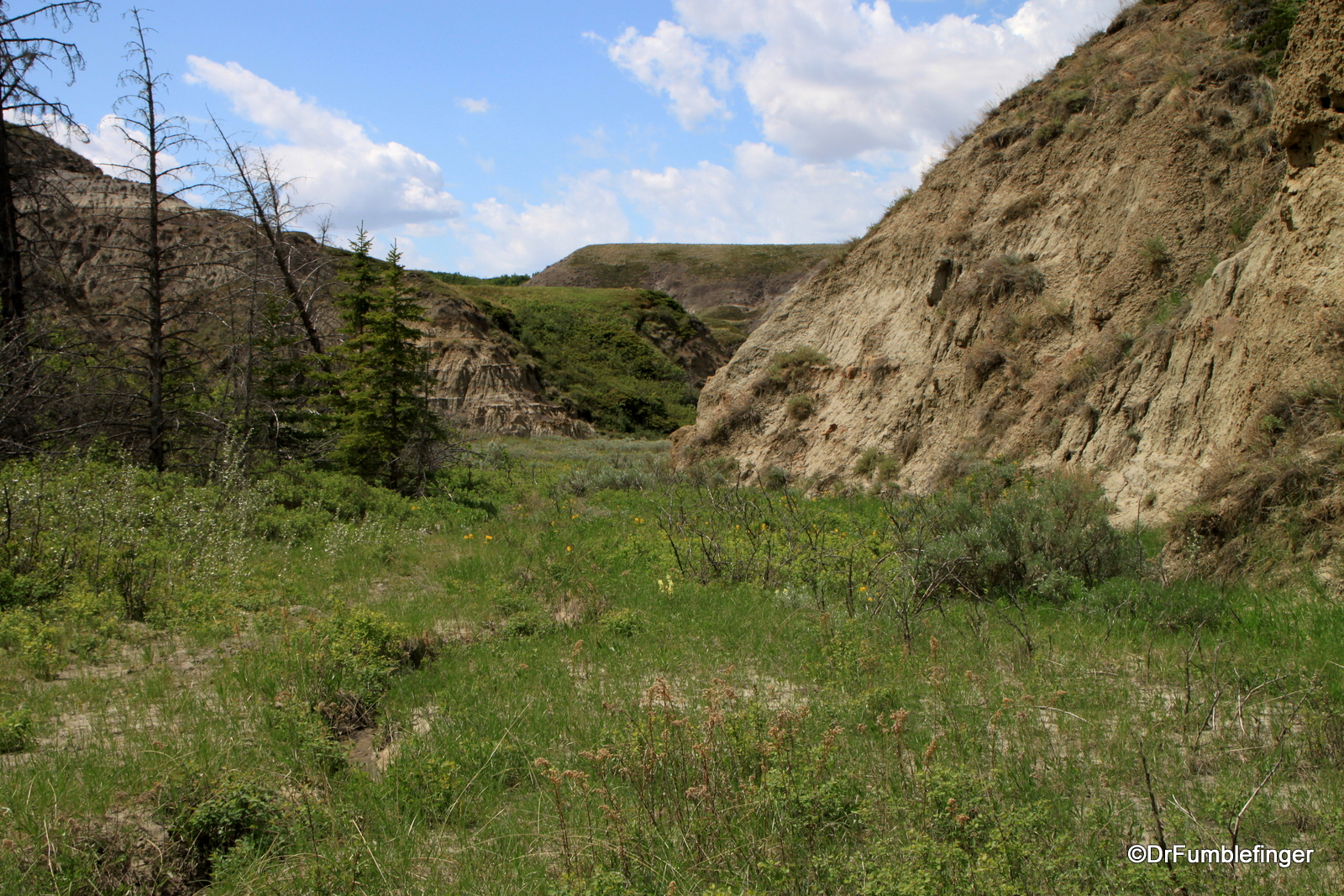
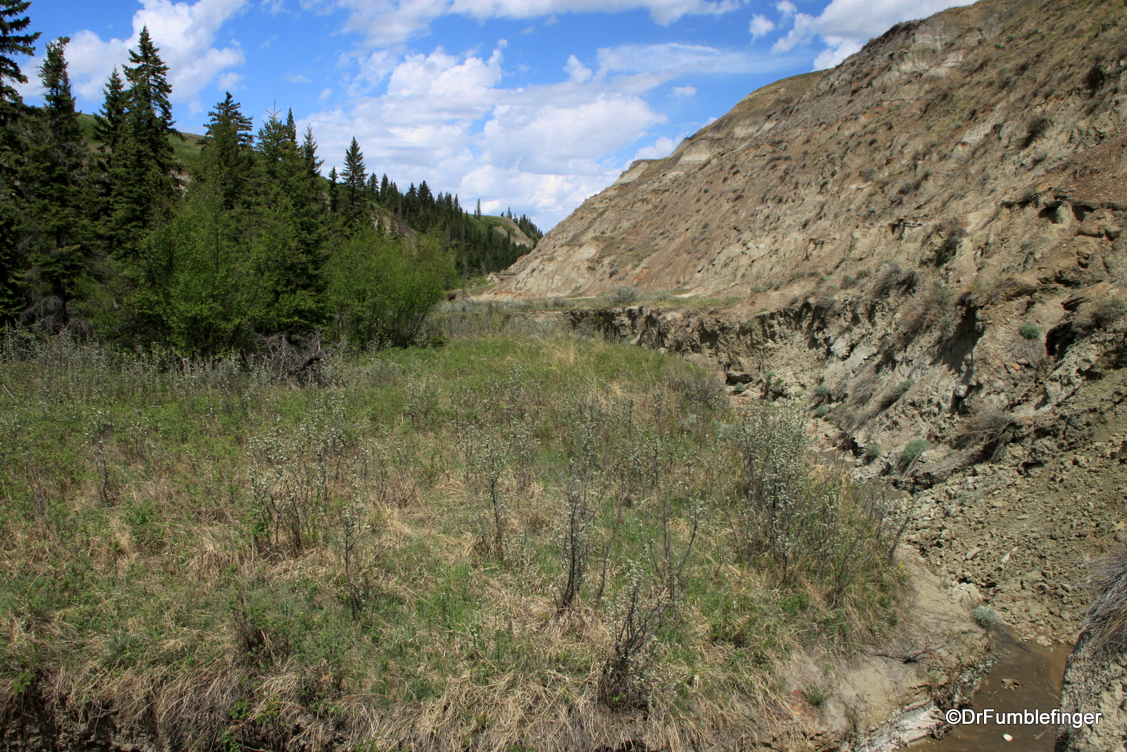
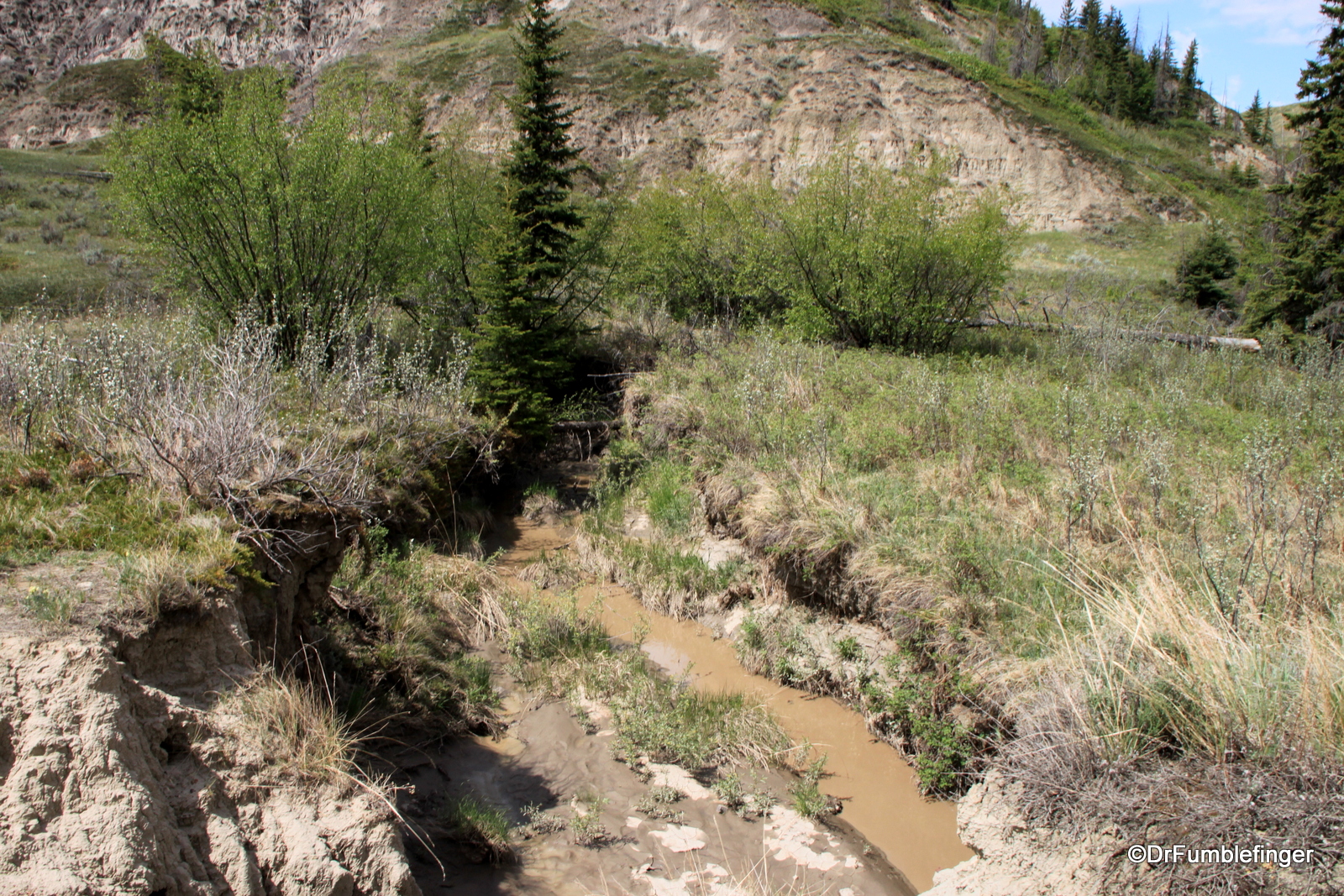
Once you’ve reached the canyon floor, there are a number of easy walking “trails” (created by collective feet of the hiking community) that provide an interesting walk through geological history. The canyon is indeed shaped vaguely like a horseshoe, the easiest arm to hike being the northern one (to the left as you face the canyon from the parking lot). So I’d make my way in this direction and soon just one dominant path emerges.

Horseshoe Canyon
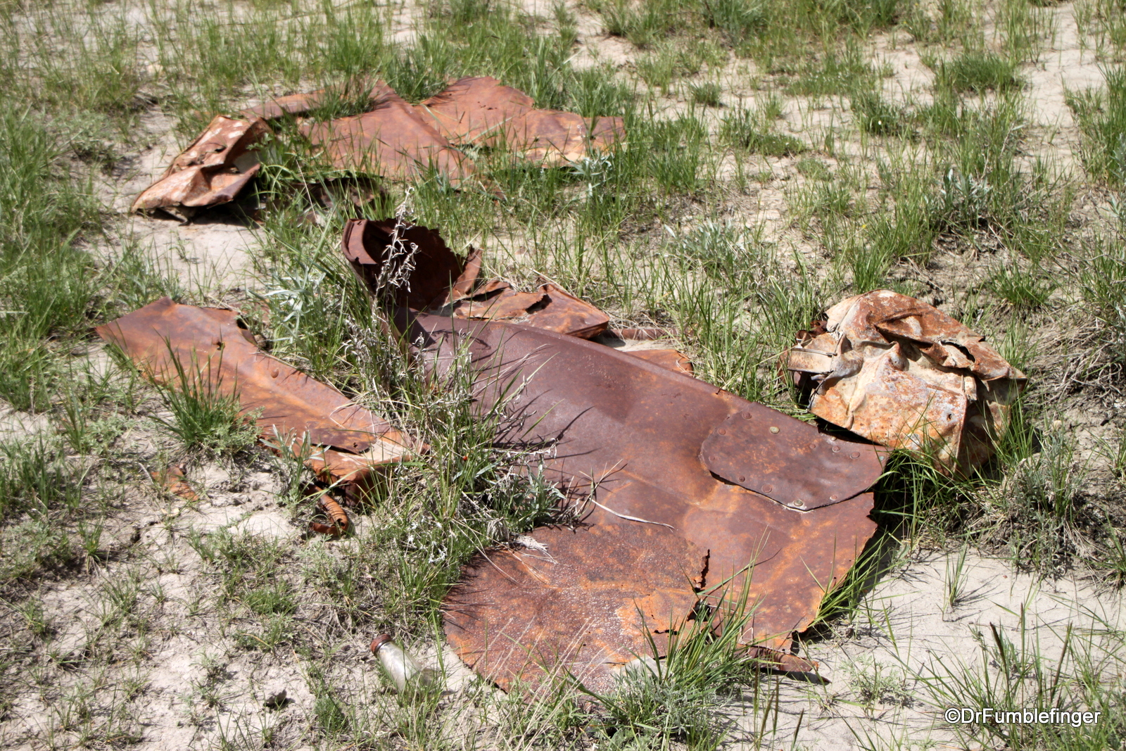
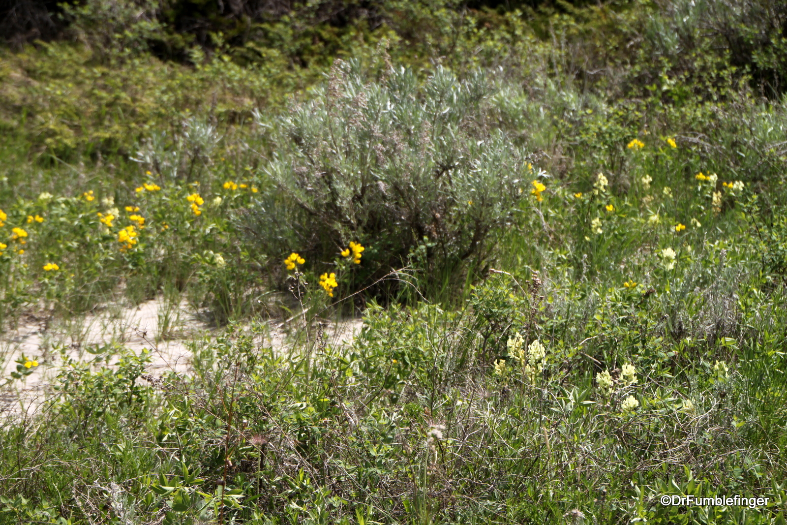
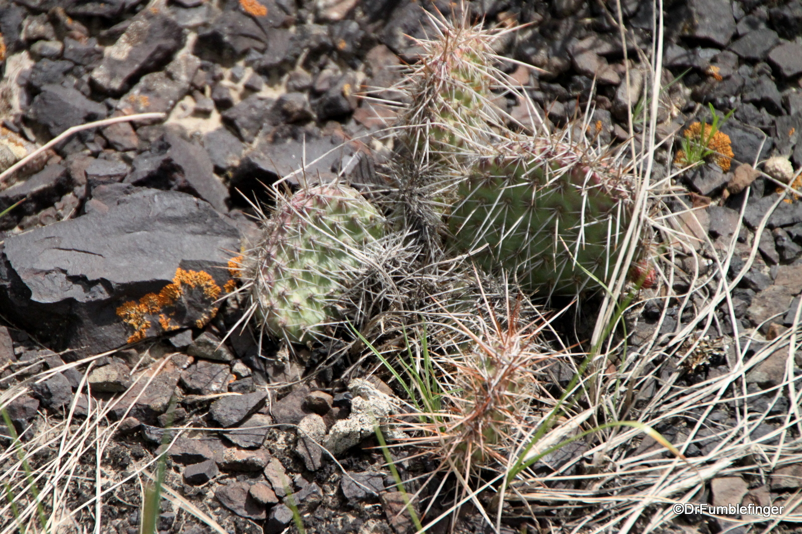
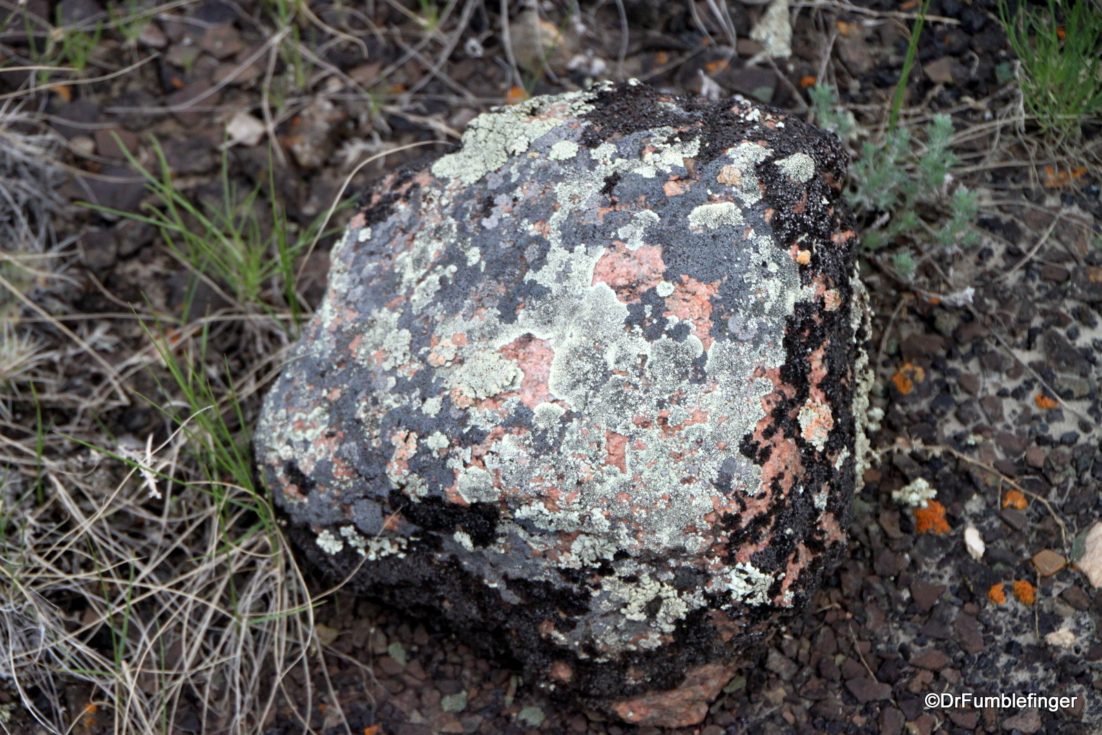
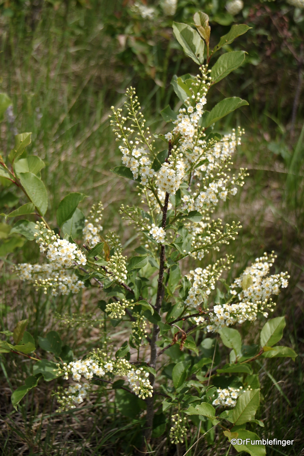
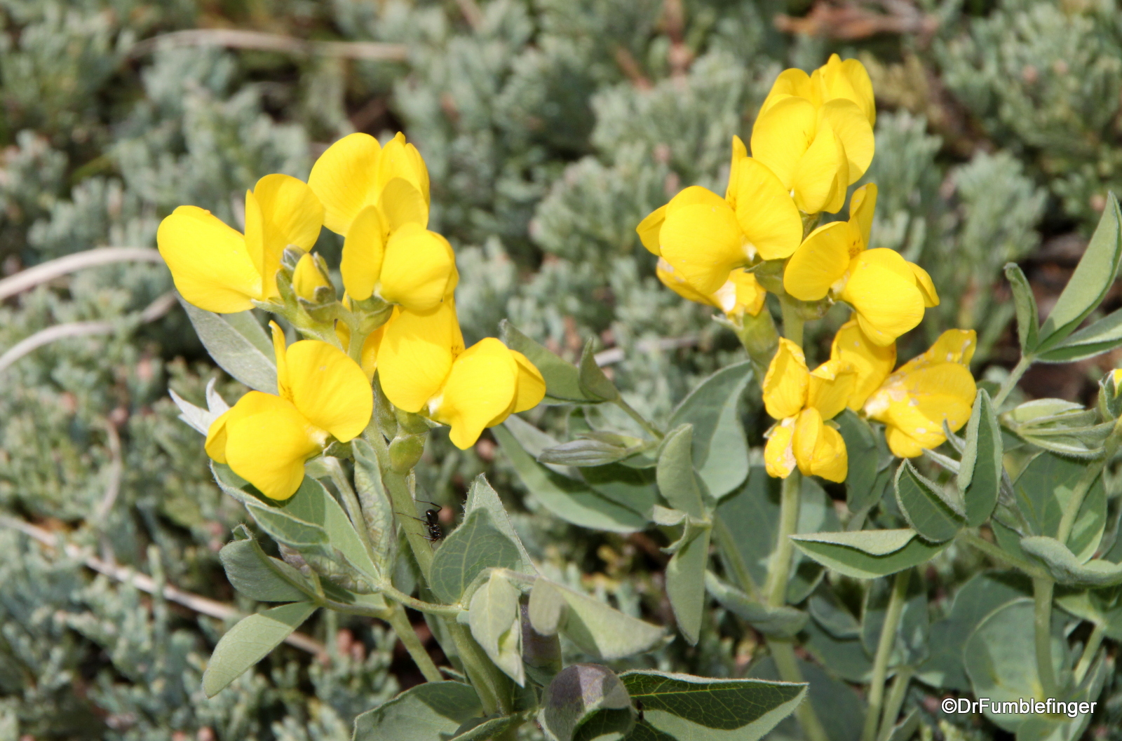
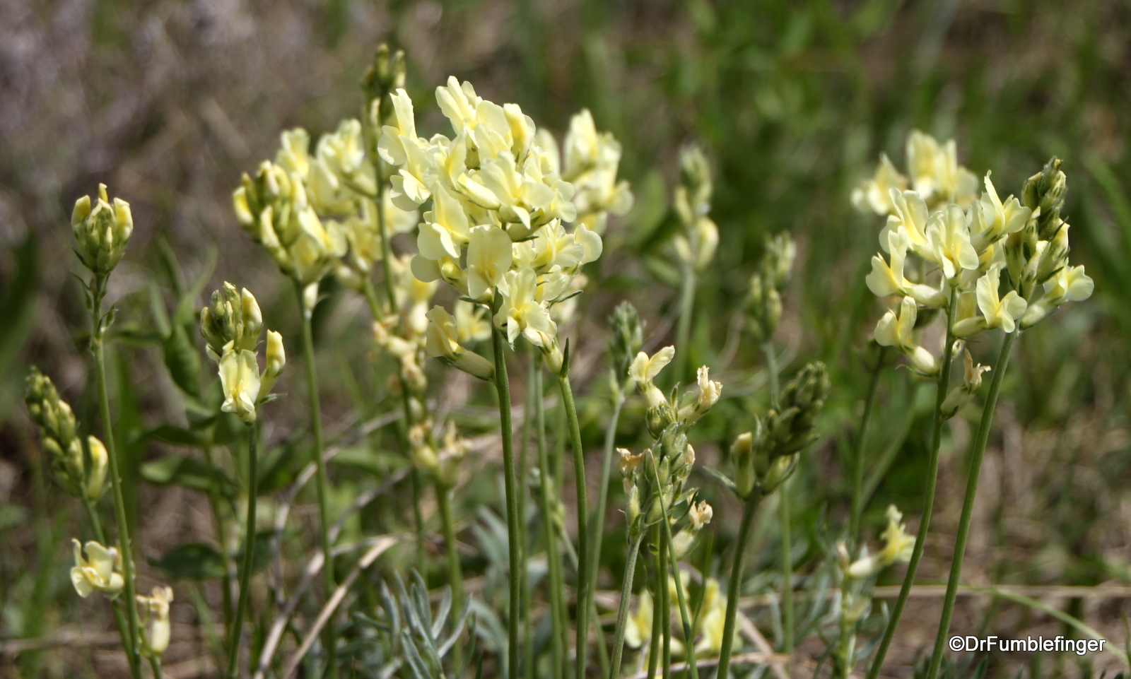
The scenery is predominantly barren and desert, but with a variety of wildflowers and blooming bushes (Saskatoon, wild roses) and trees (spruce and poplar), as well as a few cacti. But mostly you just find lots of banded rock and dirt. If you’re lucky, you might see some mule deer, garter snakes, or find some fossils or petrified wood.
This is not a strenuous hike by any measure, I hiked around the bottom of the canyon for about an hour and a half, exploring deep into the north arm of the canyon and briefly into the south arm, but there’s no set path to follow — you explore what you want for as long as you want. It’s an easy hike with the exception of the descent and ascent, as described above. If you’re interested in exploring unusual terrain, this would be a good hike for you!
(Click on thumbnails to enlarge, right arrow to advance slideshow)