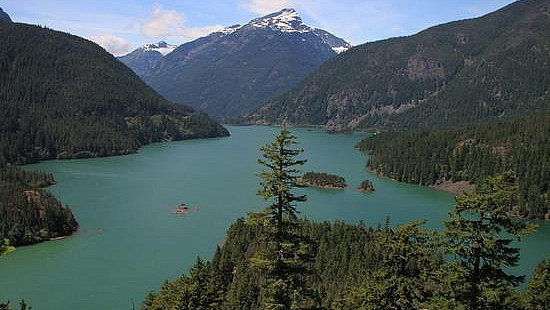
The North Cascades Highway (Washington SR-20) offers the northern most route across the Cascade range in Washington state, just south of the Canadian border. The eastern (and highest) part of the road is closed during winter because of heavy snowfall and the danger posed by avalanches from the thick snow-pack. Like most mountain pass roads, the date of its reopening varies from year to year, depending mostly on the weather and quantity of the snow, though usually it is open by early May.
The road follows a many thousand year old Indian trade route allowing passage from the central part of the state to the coast. About 150 years ago white settlers began using this route for access to the inland fur trade and for new mining opportunities in the Cascade mountains. Over the years a road was constructed somewhat piecemeal, and several dams were built along the Skagit River to help provide hydroelectricity for the growing city of Seattle. In 1968 President Johnson signed the law creating North Cascades National Park, which route 20 bisects into north and south units. The eastern part of the road was finished in 1972, finally completing the route between the Skagit and Methow valleys.

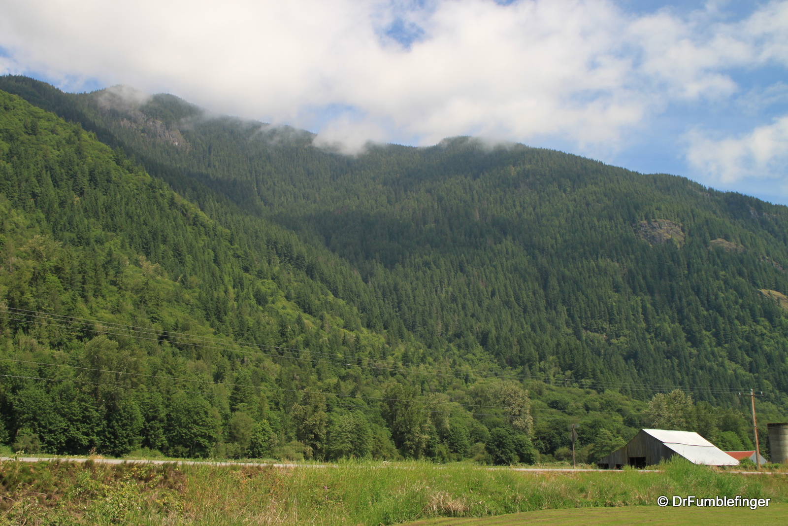
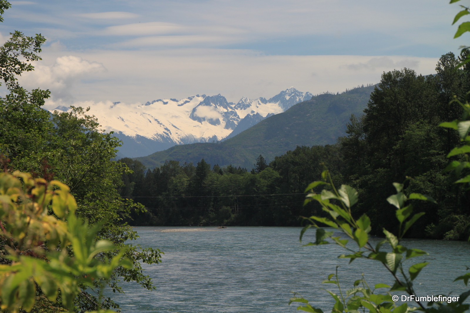
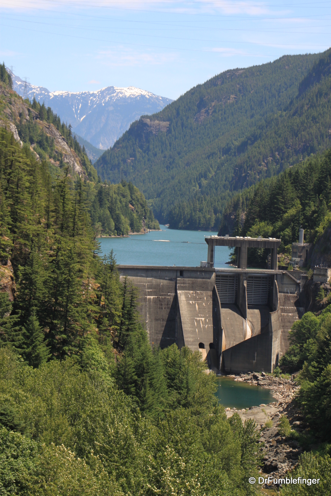
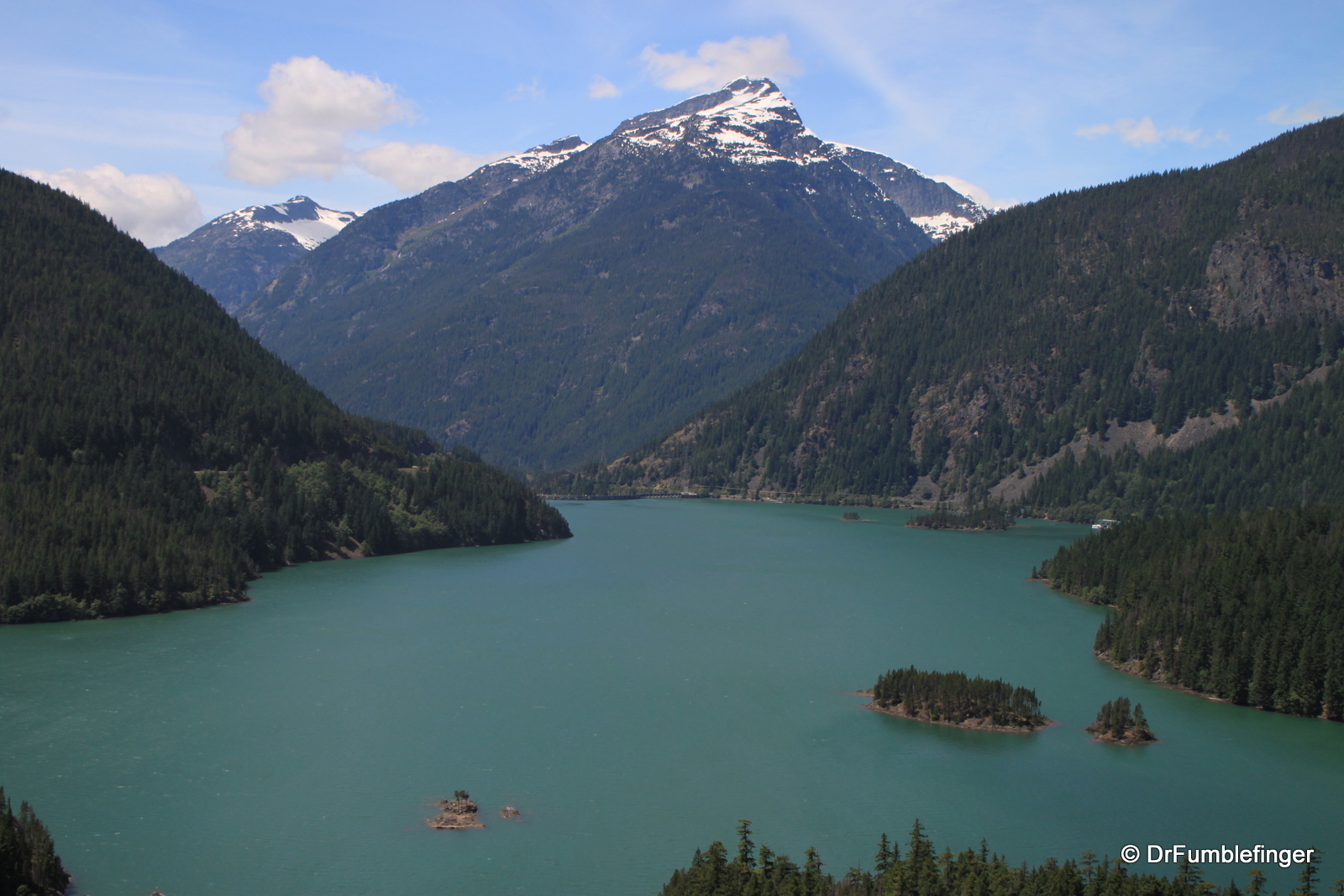
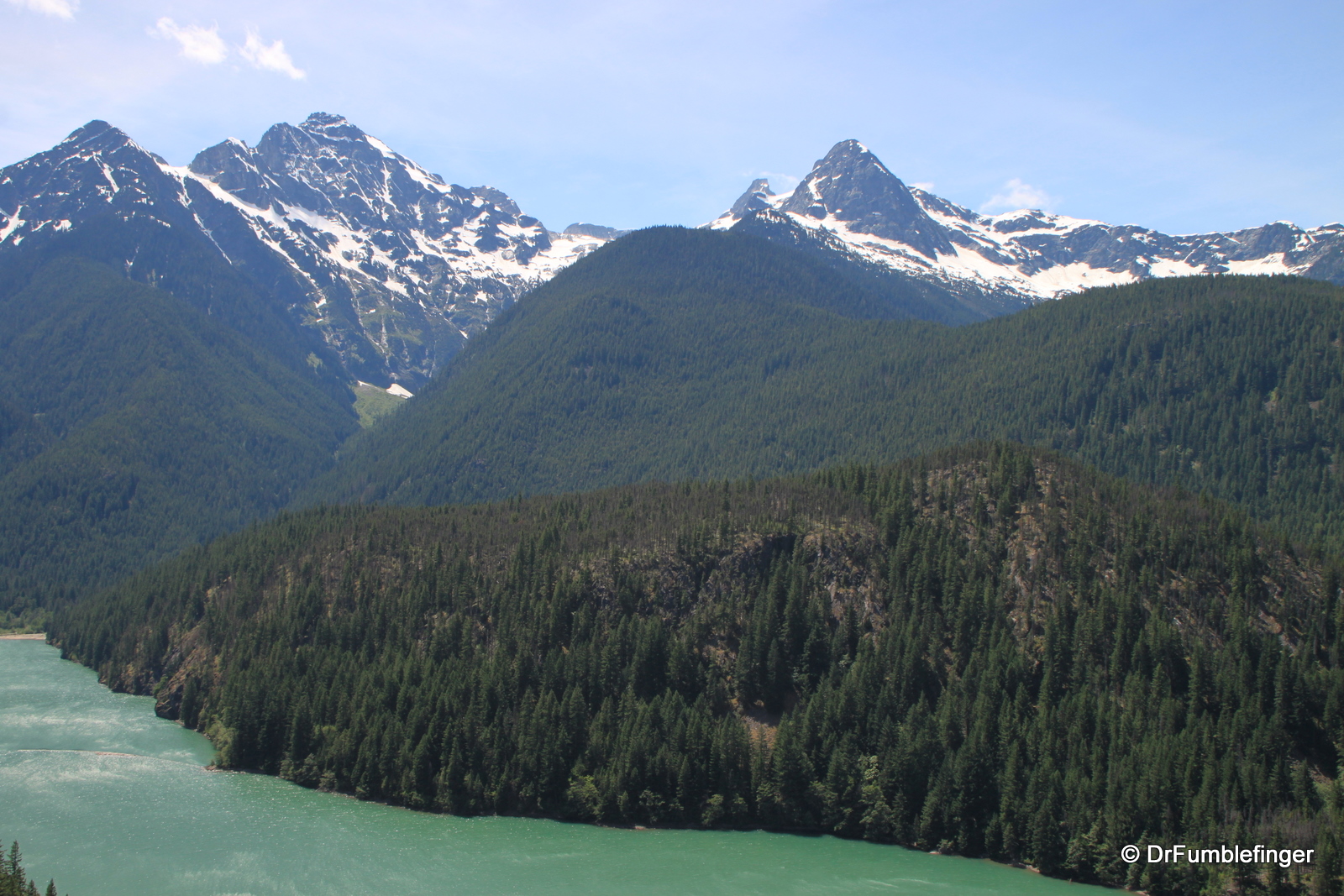
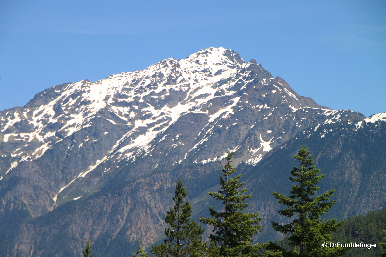
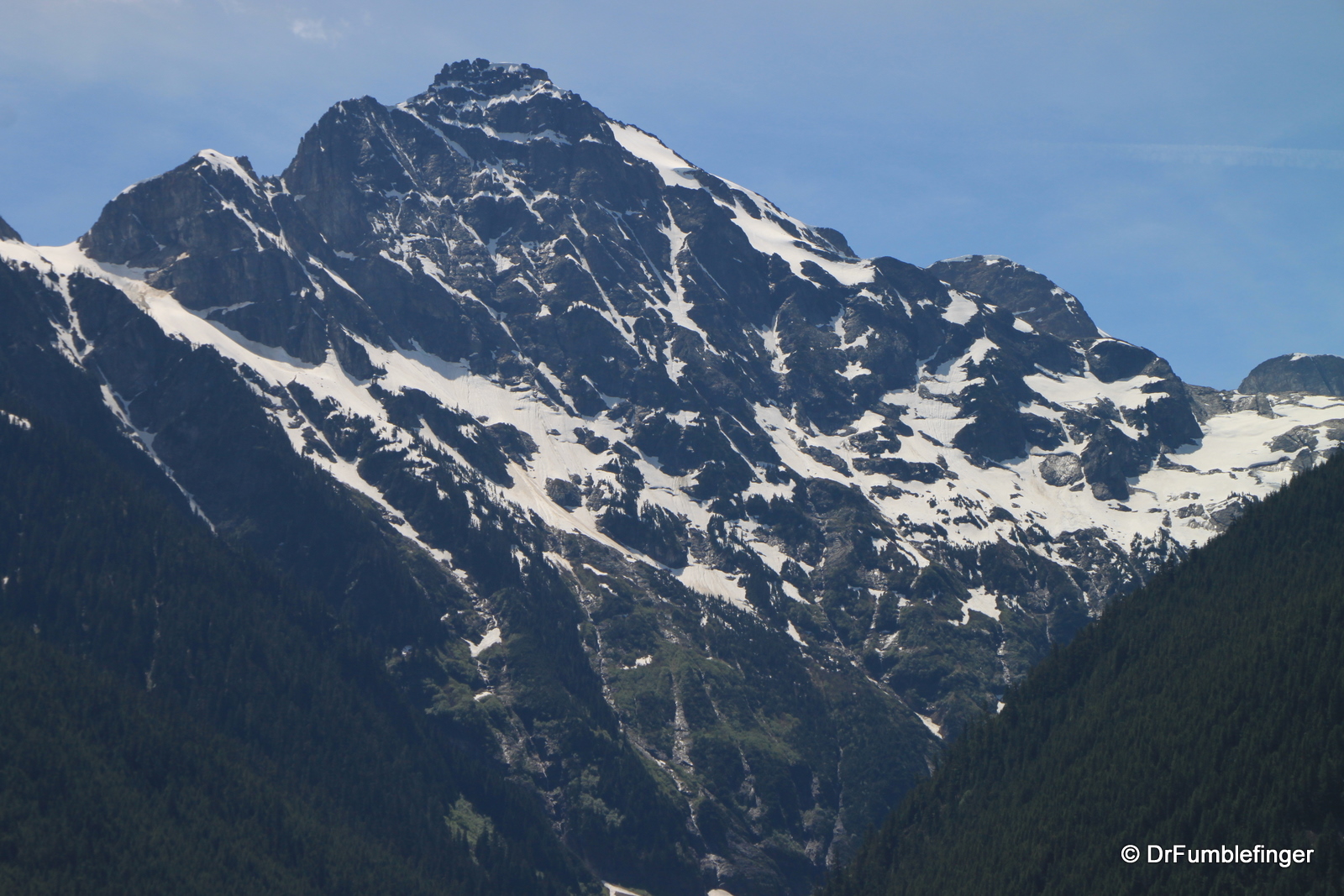
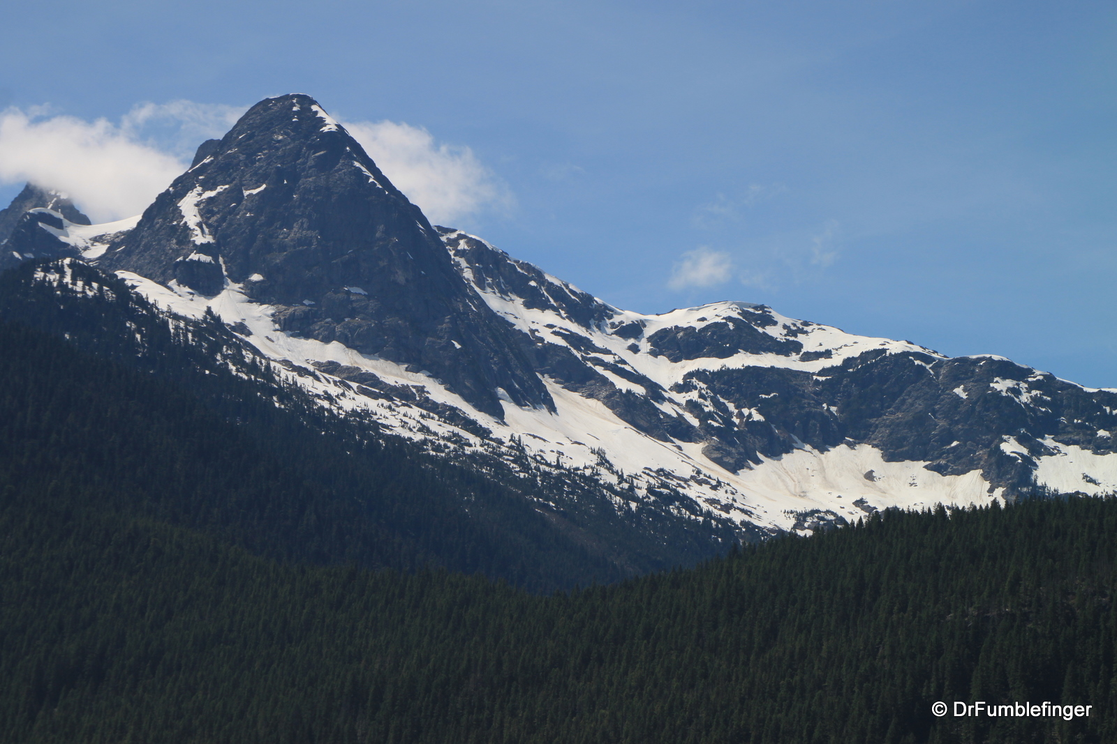
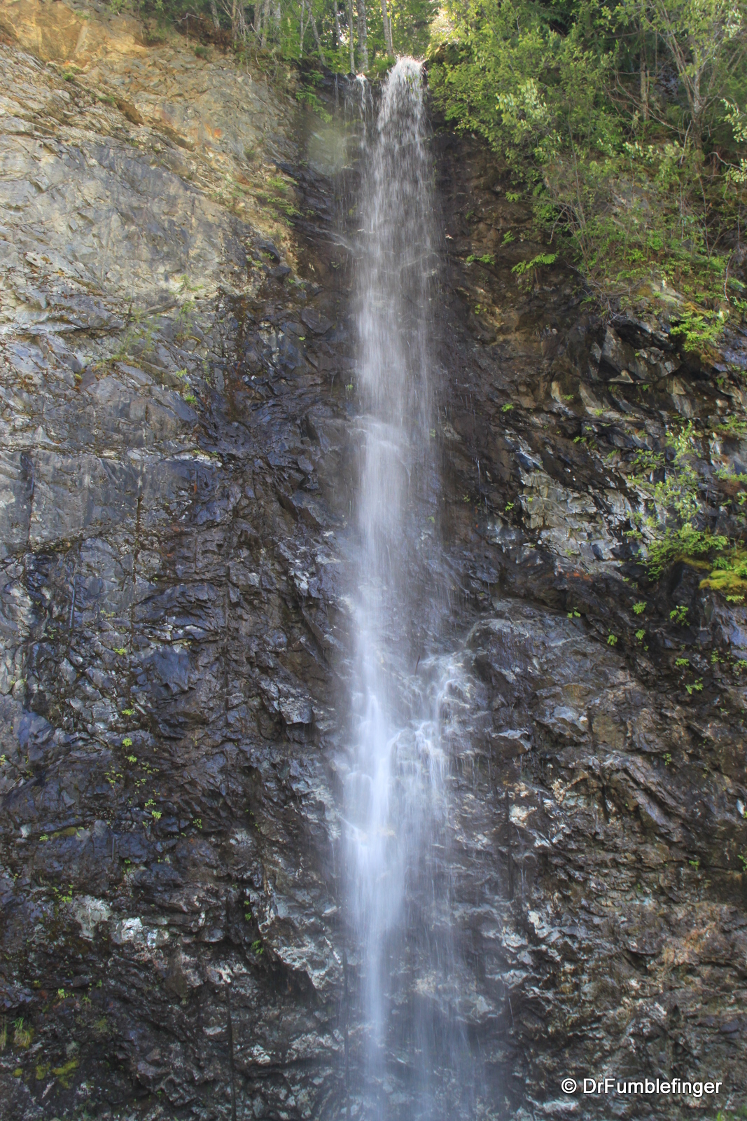
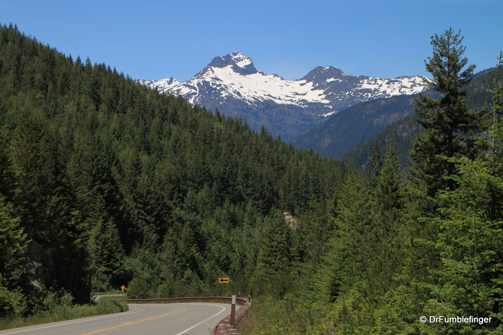
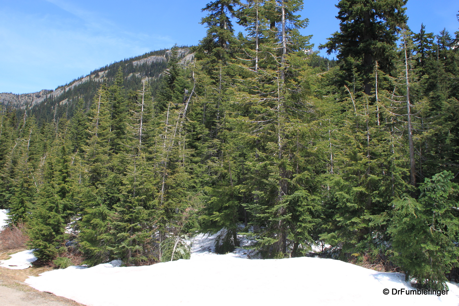
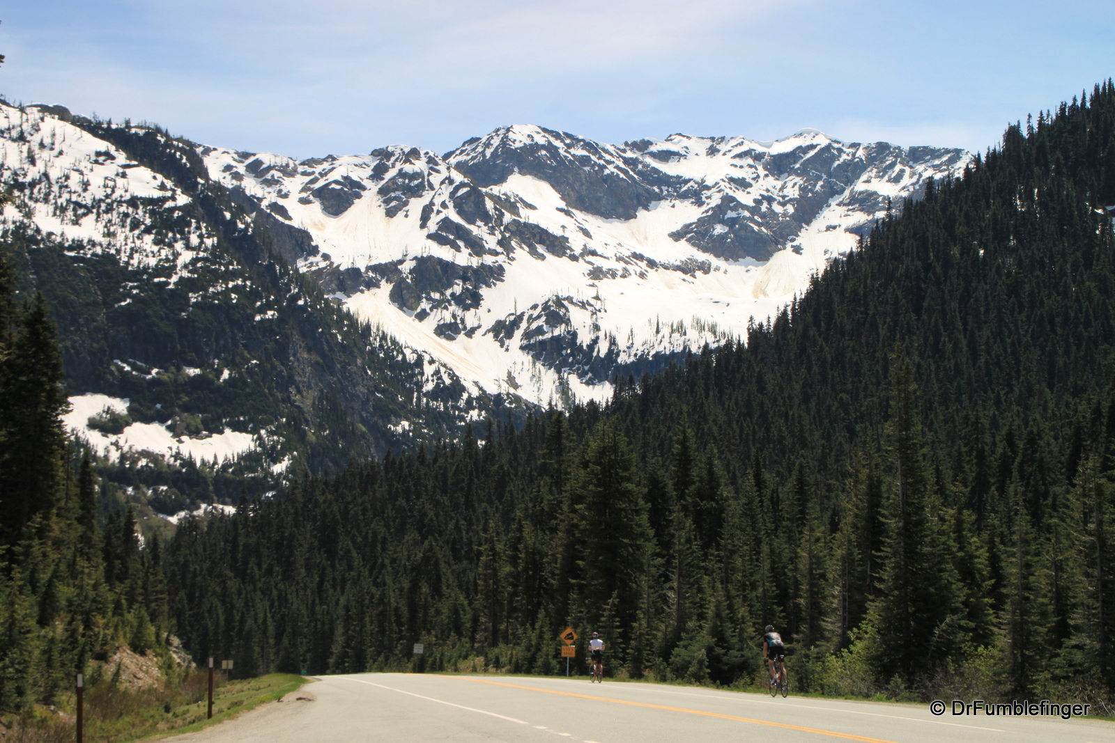
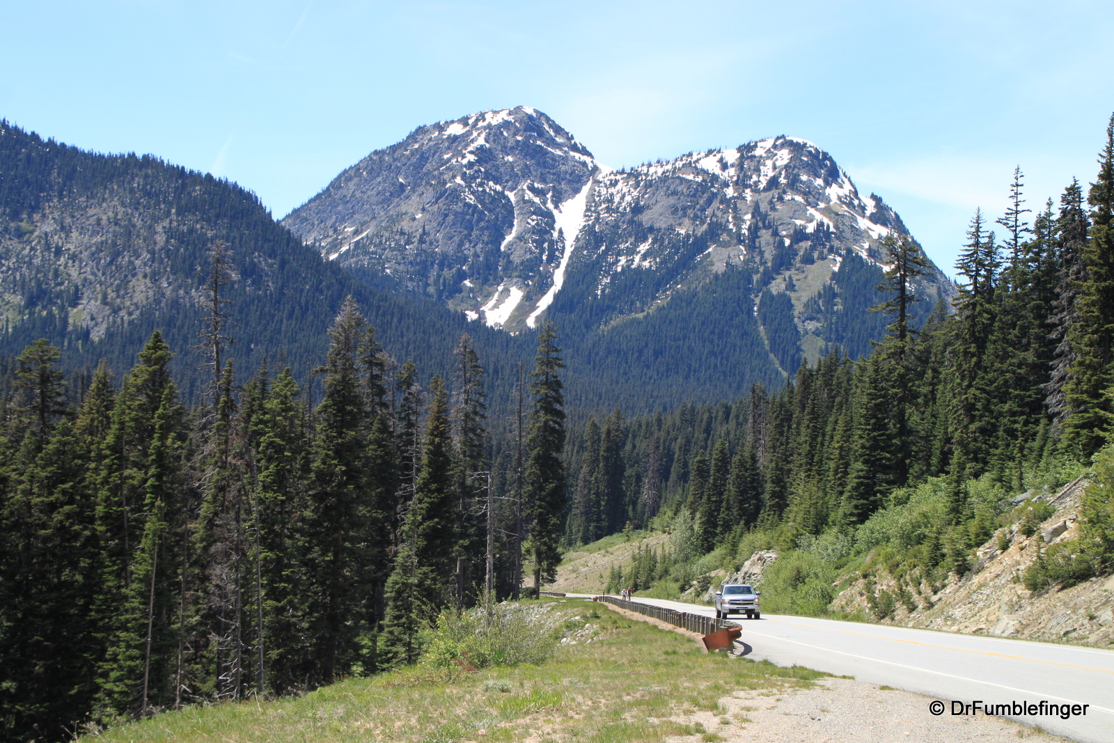
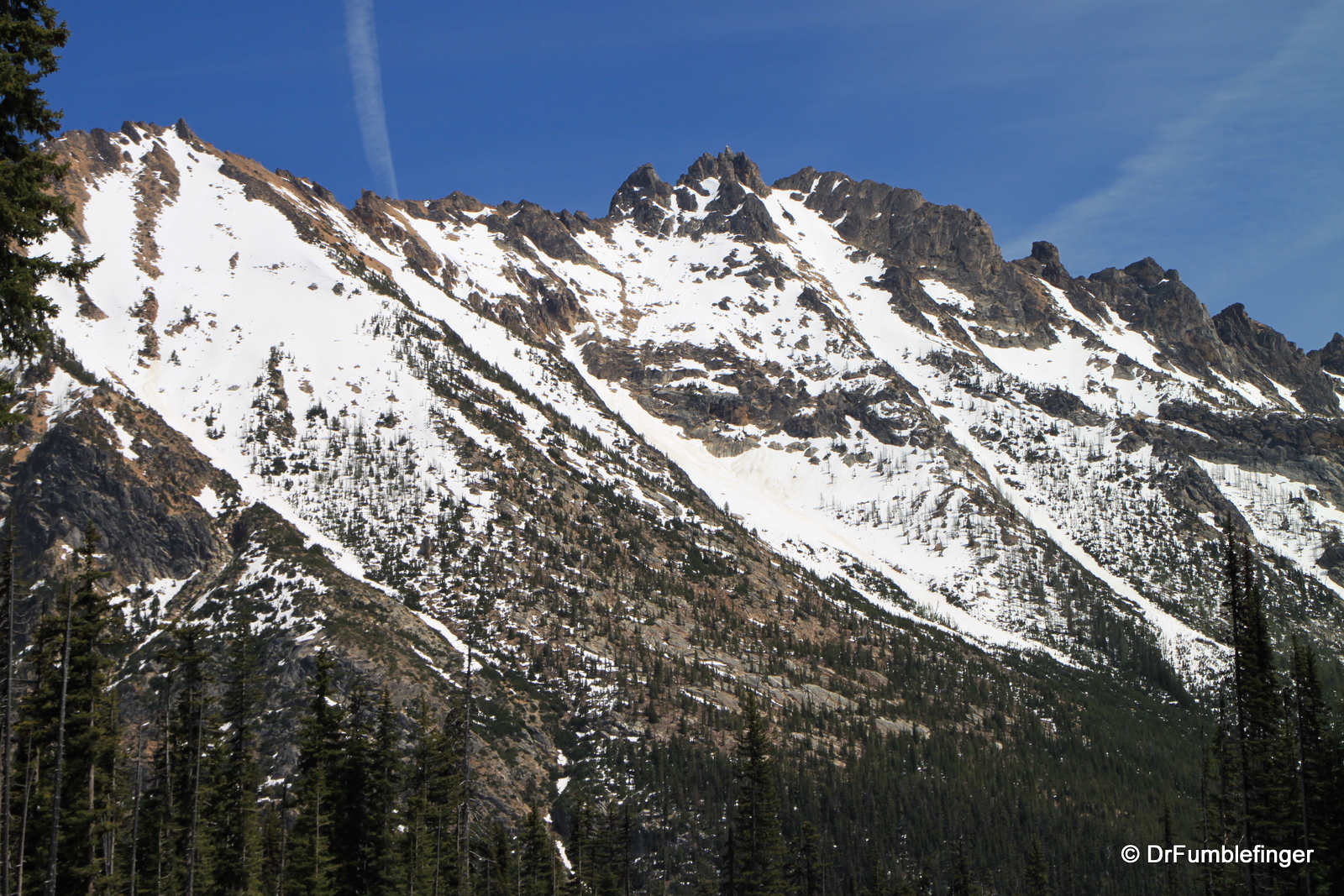
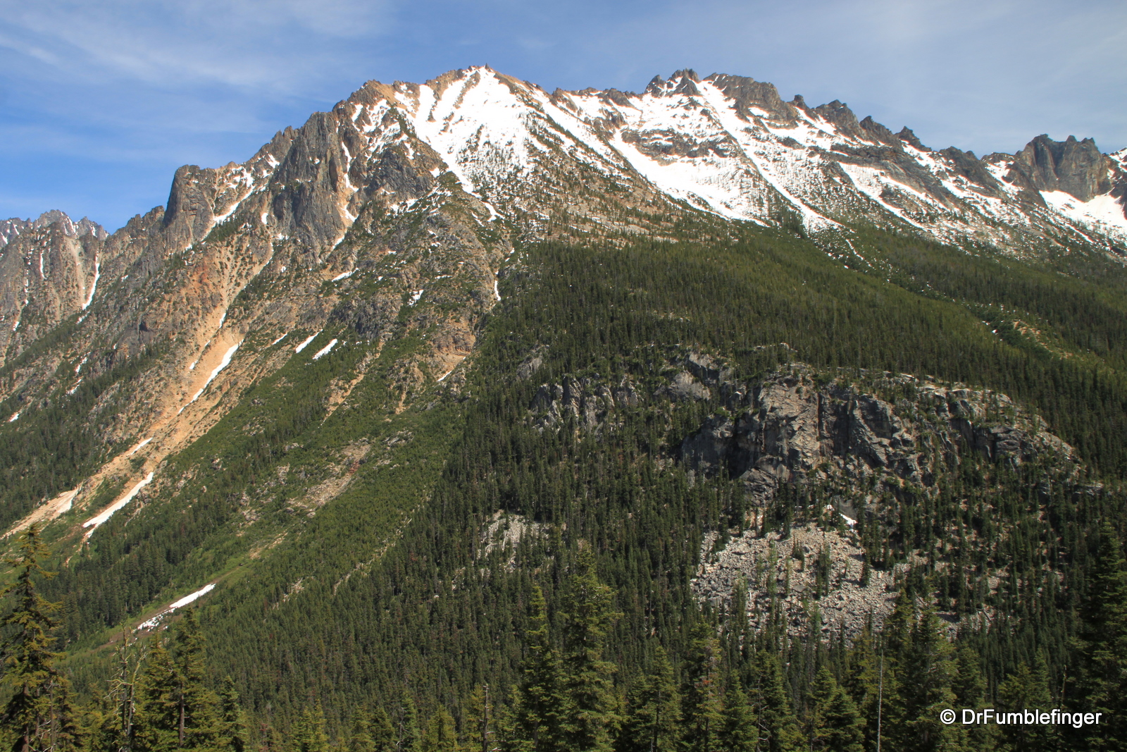
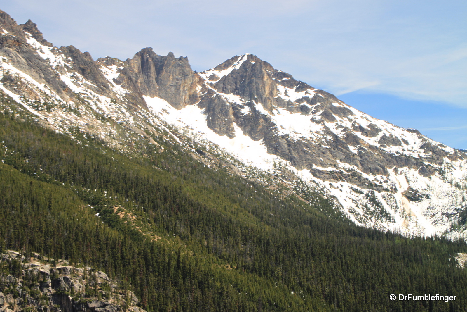
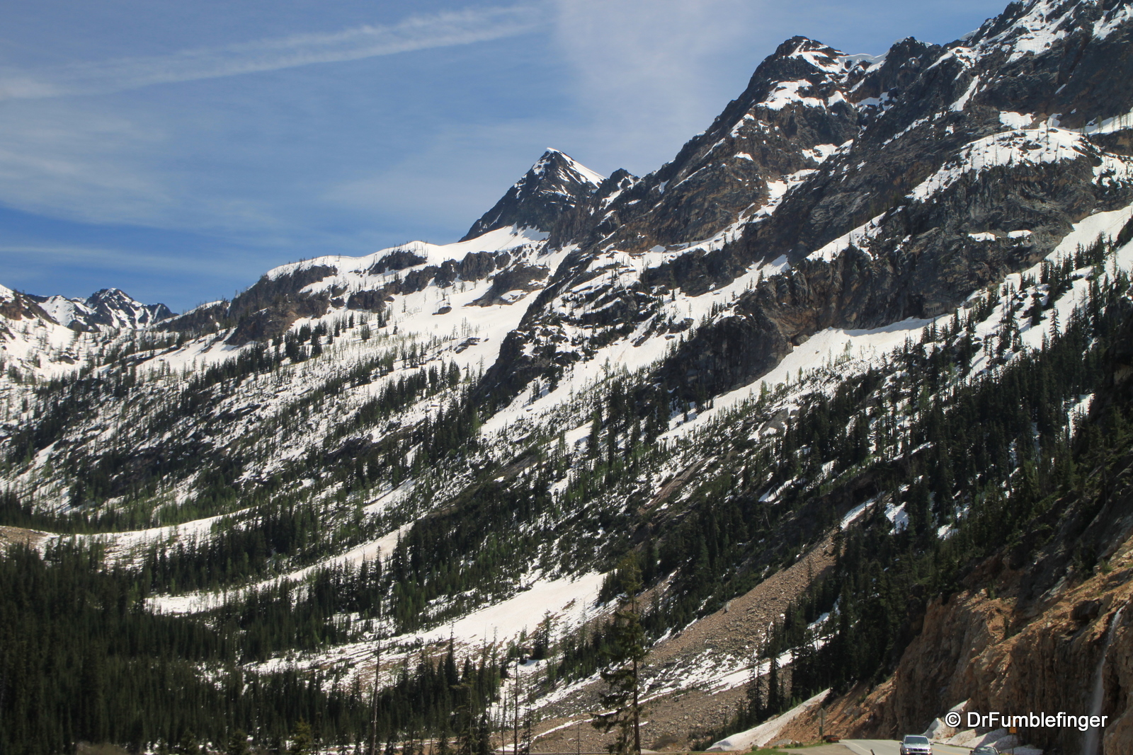
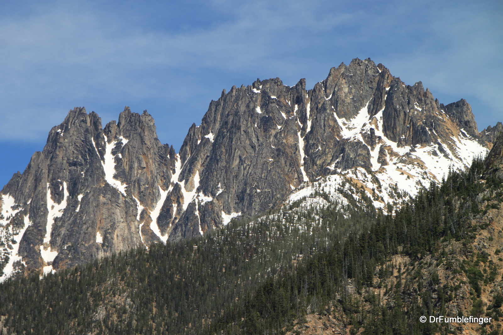
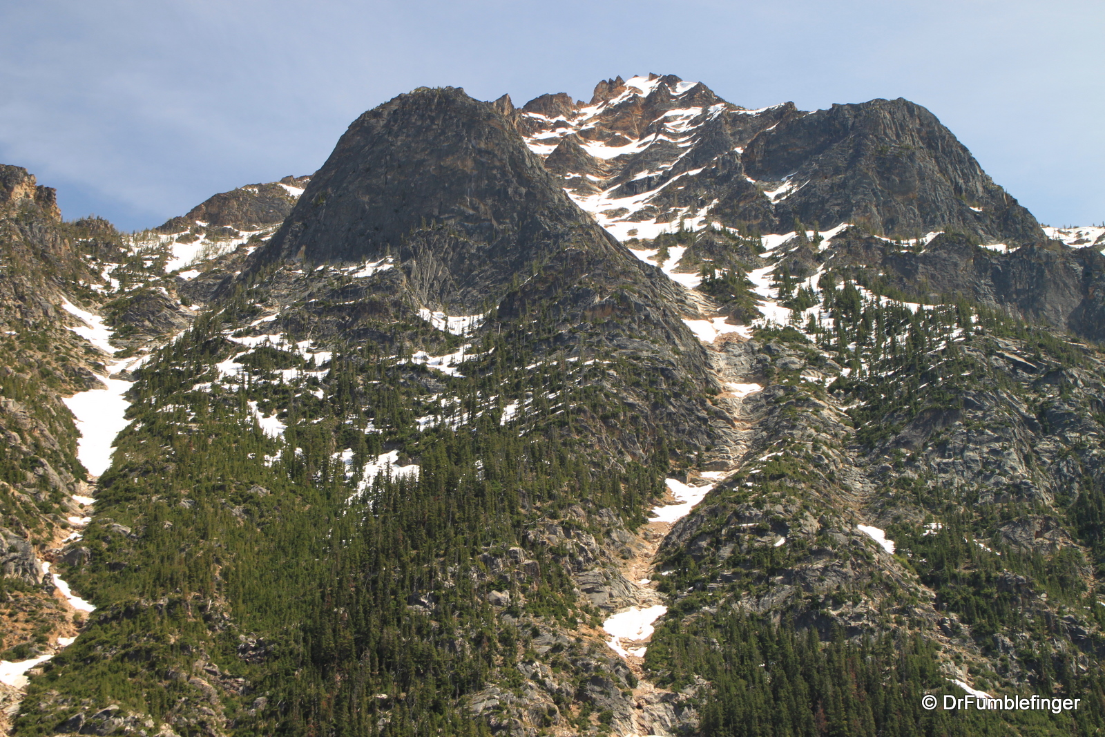
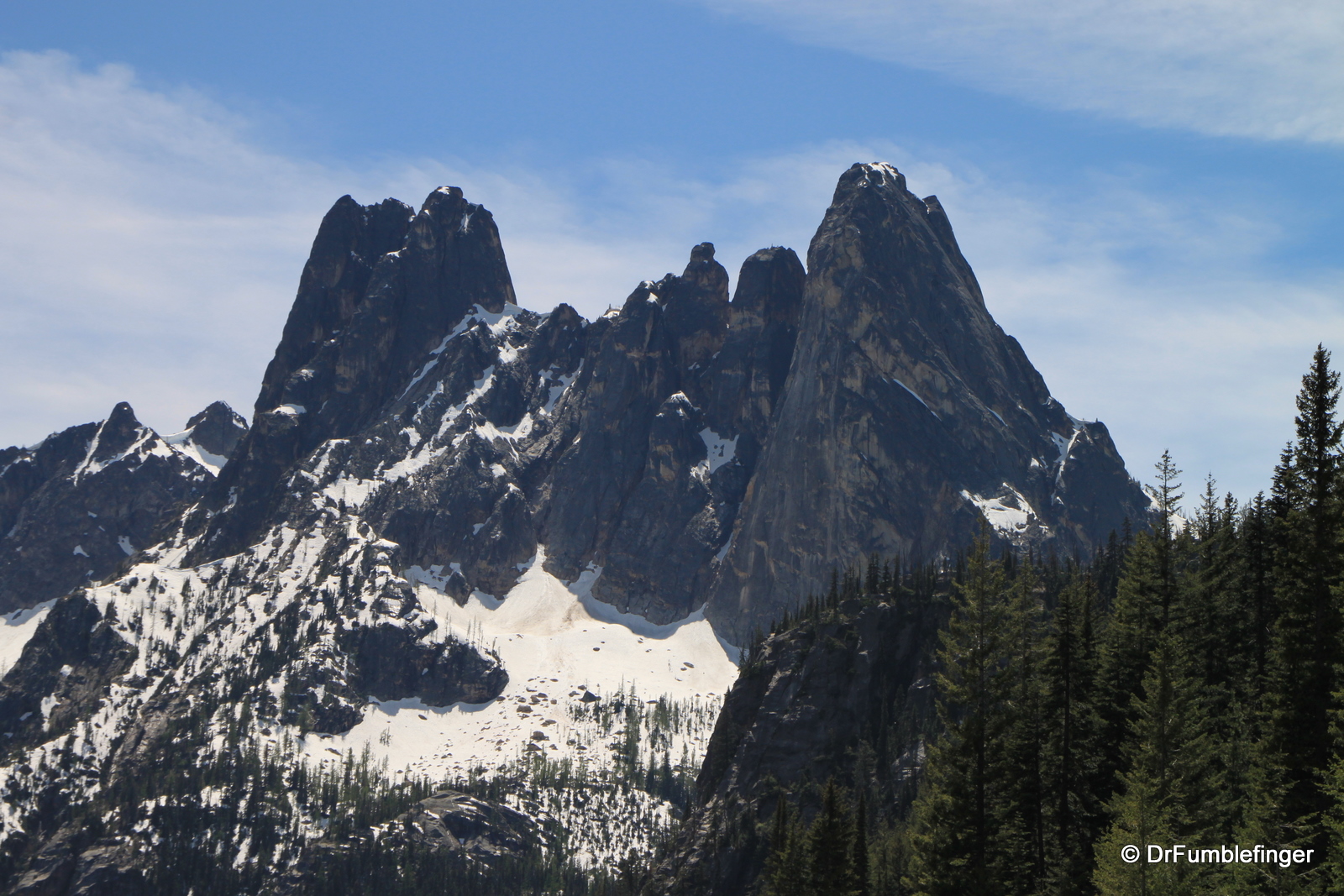
Scenery along the North Cascades Highway
The drive is one of the most scenic in the northwest and is a pleasant half day trip between the coast and the inland. The western part of the drive is through scenic farm land of the Skagit valley, with the massive peaks of the Cascades apparent in the distance and looming ever larger as your drive continues. The Skagit River is blocked by a series of dams (including Gorge and Ross dams) which form lakes that are popular recreational venues in the summer. There are many turnouts so be sure to stop and enjoy the views.
The scenery becomes ever more dramatic as one heads east with the most majestic and tall mountains along the route located on the eastern side of the Cascades. Here you will cross two mountain passes, Rainy Pass (4855′) and Washington Pass (5477′) as you head towards the Okanogan Valley. This eastern rain-shadow is beautiful and very popular with hikers, campers and backpackers in the summer.
The Skagit River valley provides winter habitat for a large collection of bald eagles. In the spring thousands of beautiful blooming tulips are a photographer’s delight in the Skagit Valley
The accompanying photos are arranged sequentially as we traveled from west towards east.
(Click on thumbnails to enlarge, right arrow to advance slideshow)
