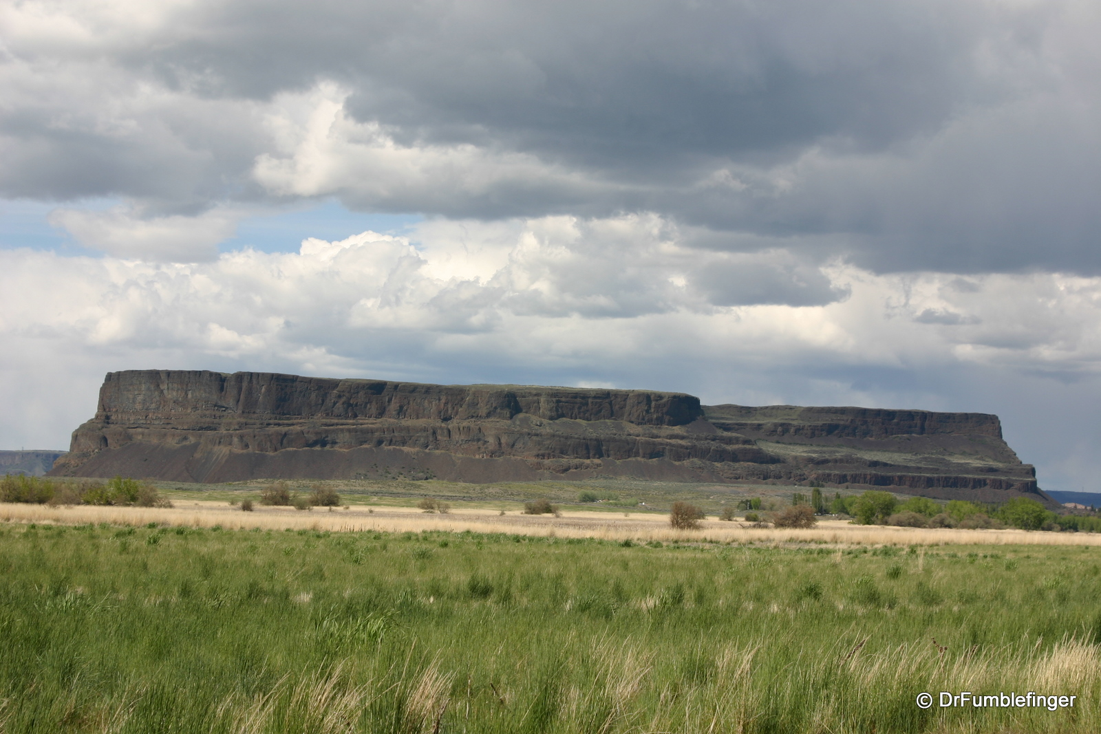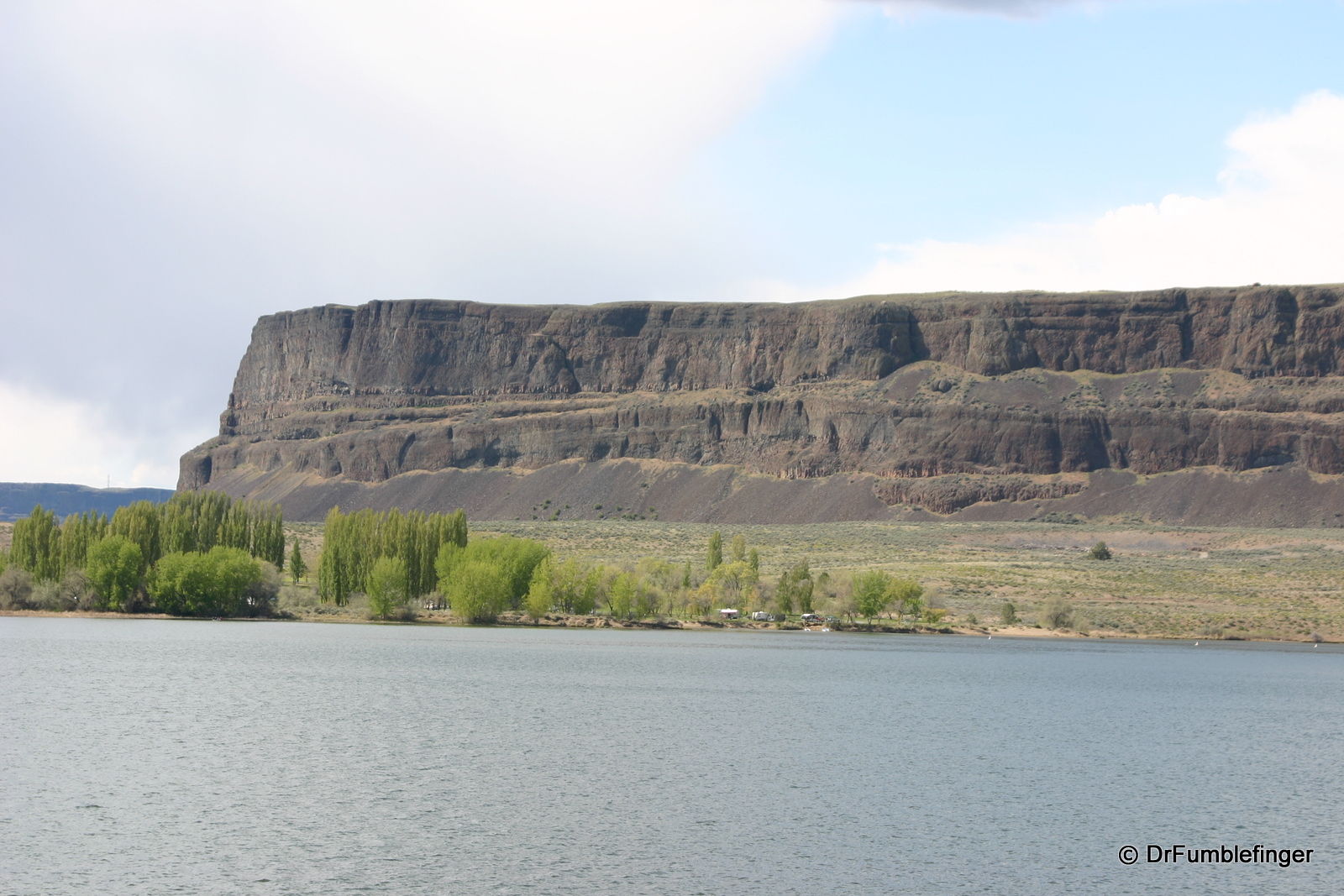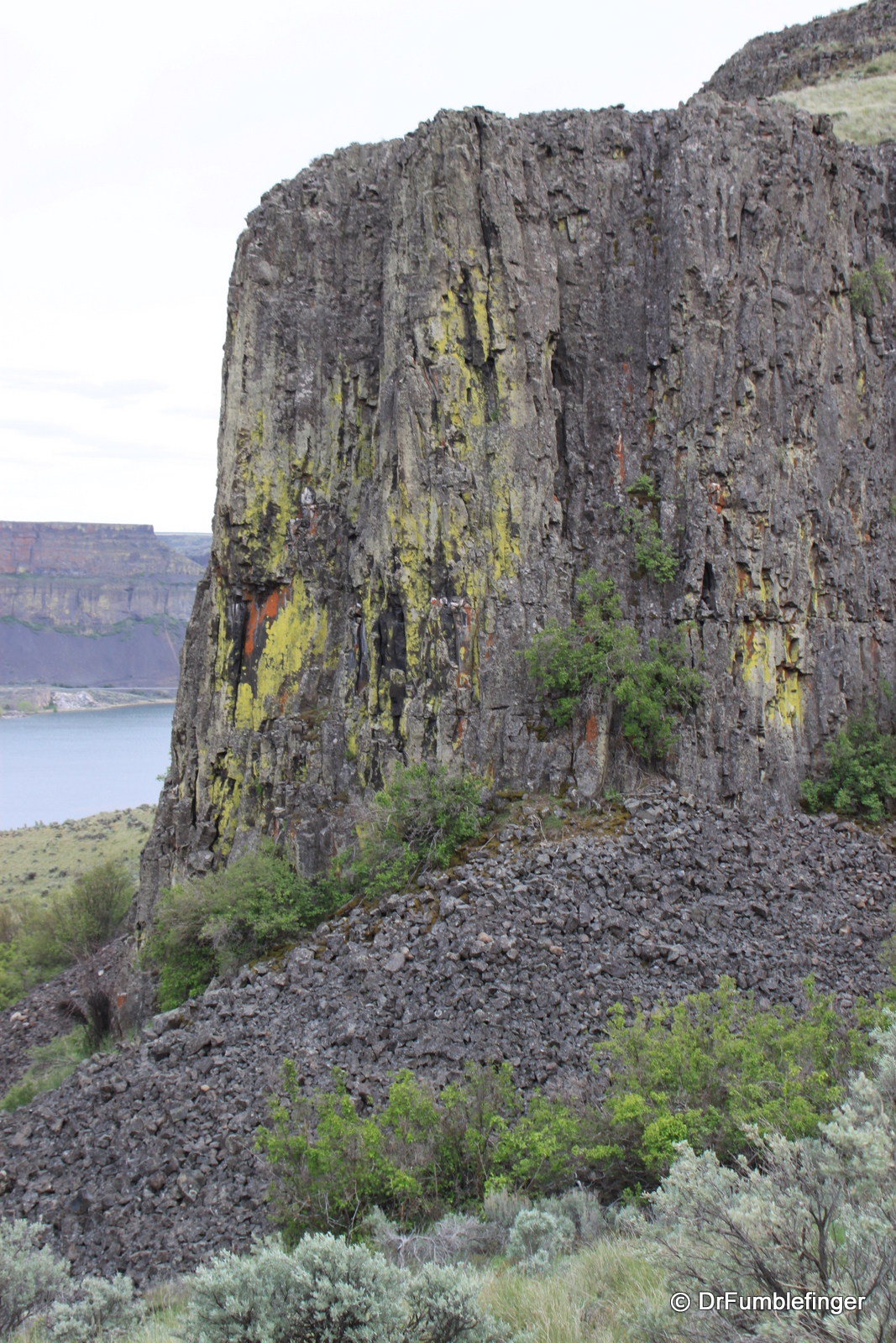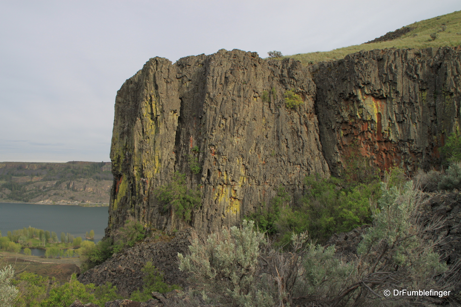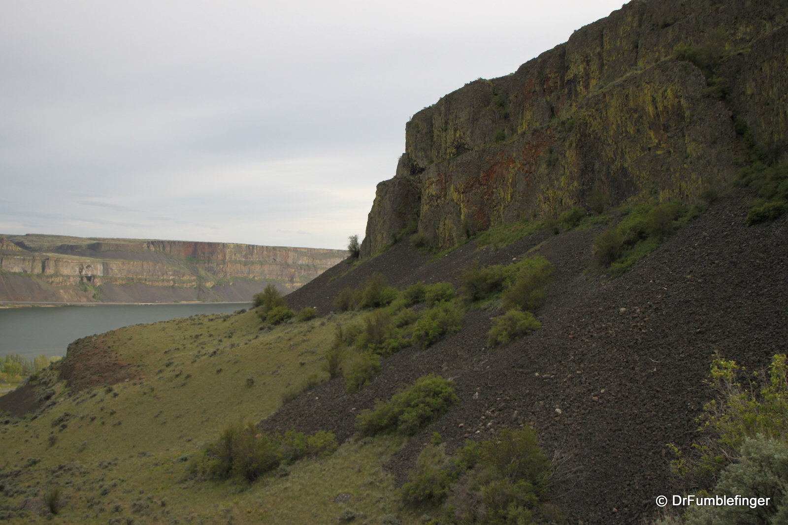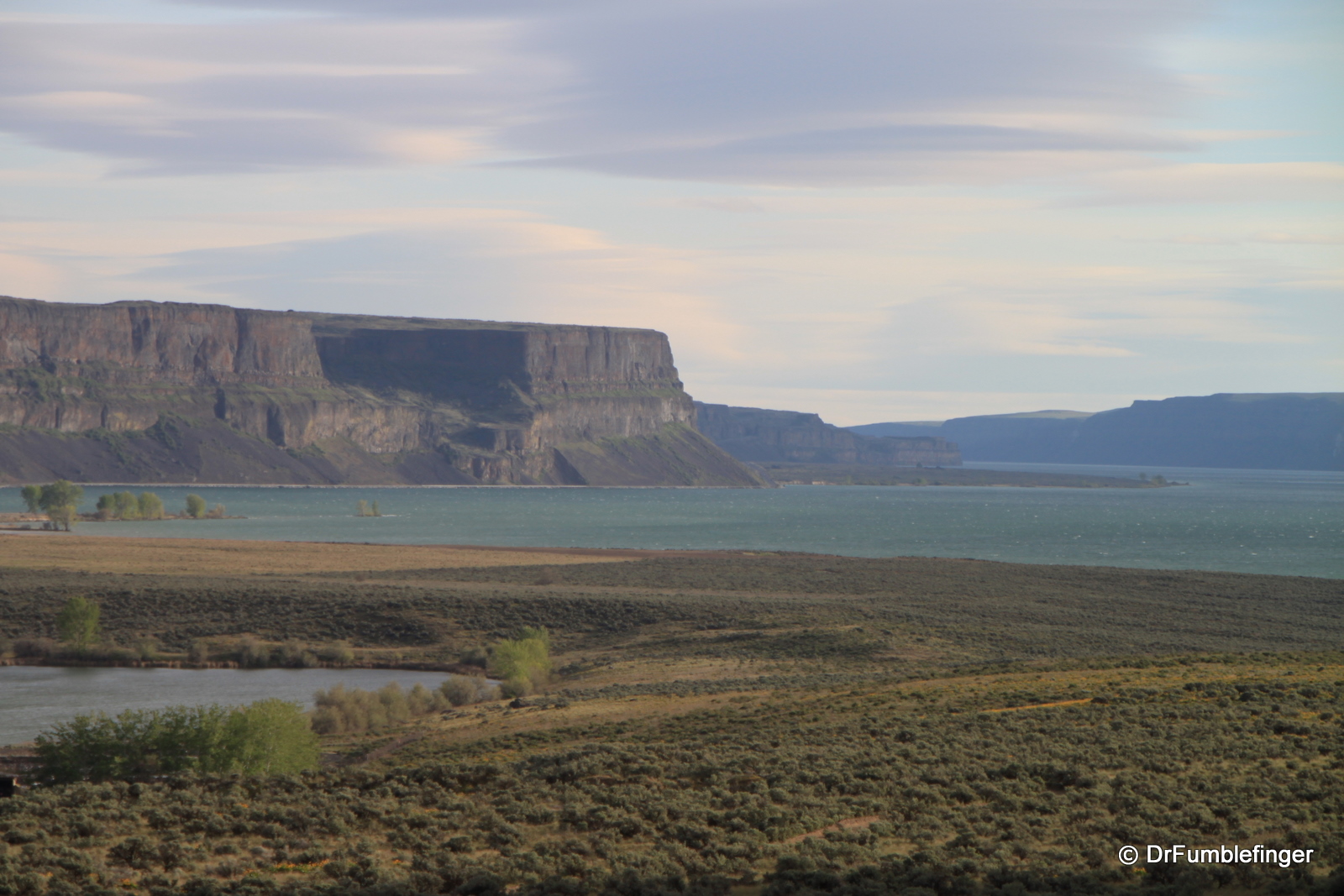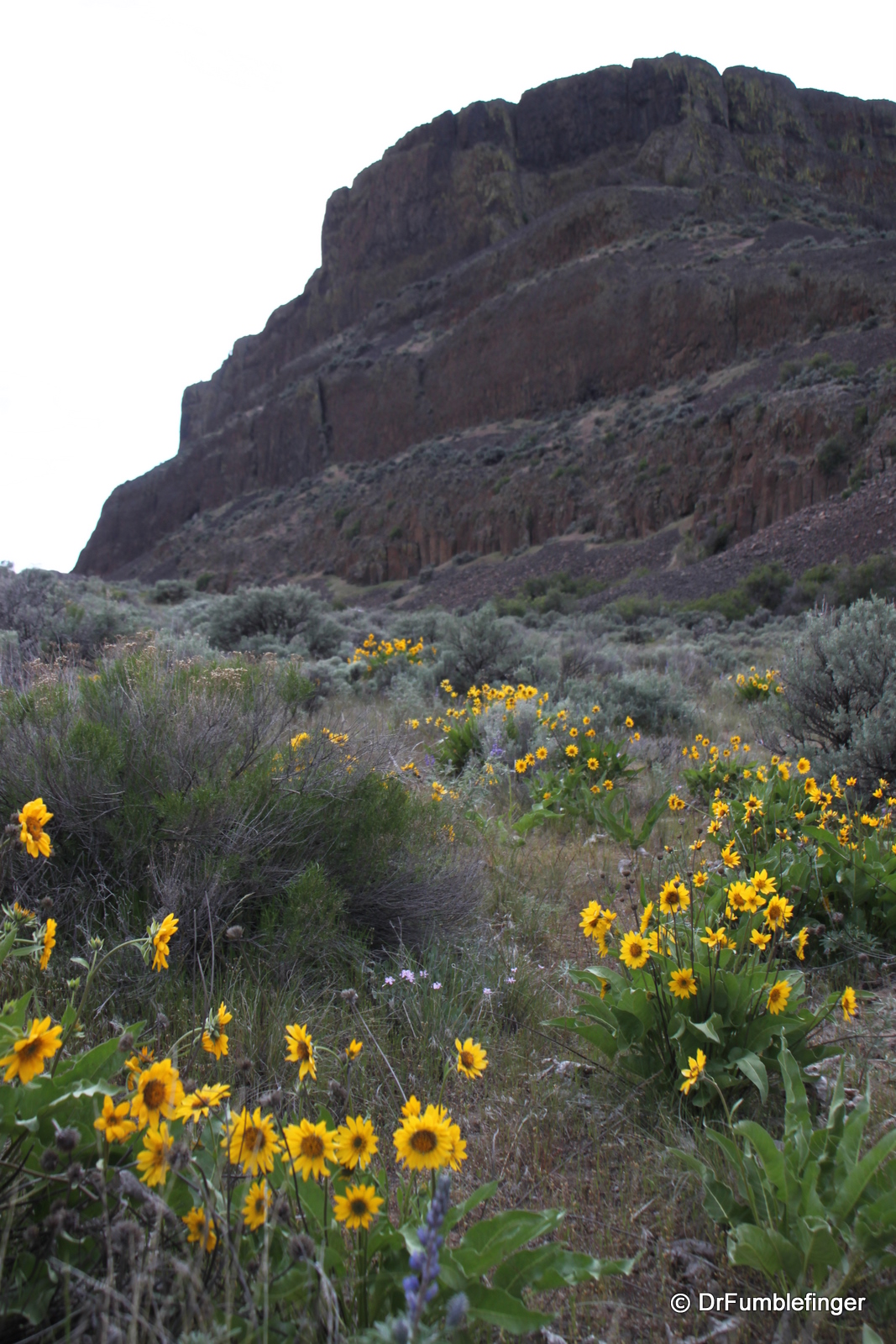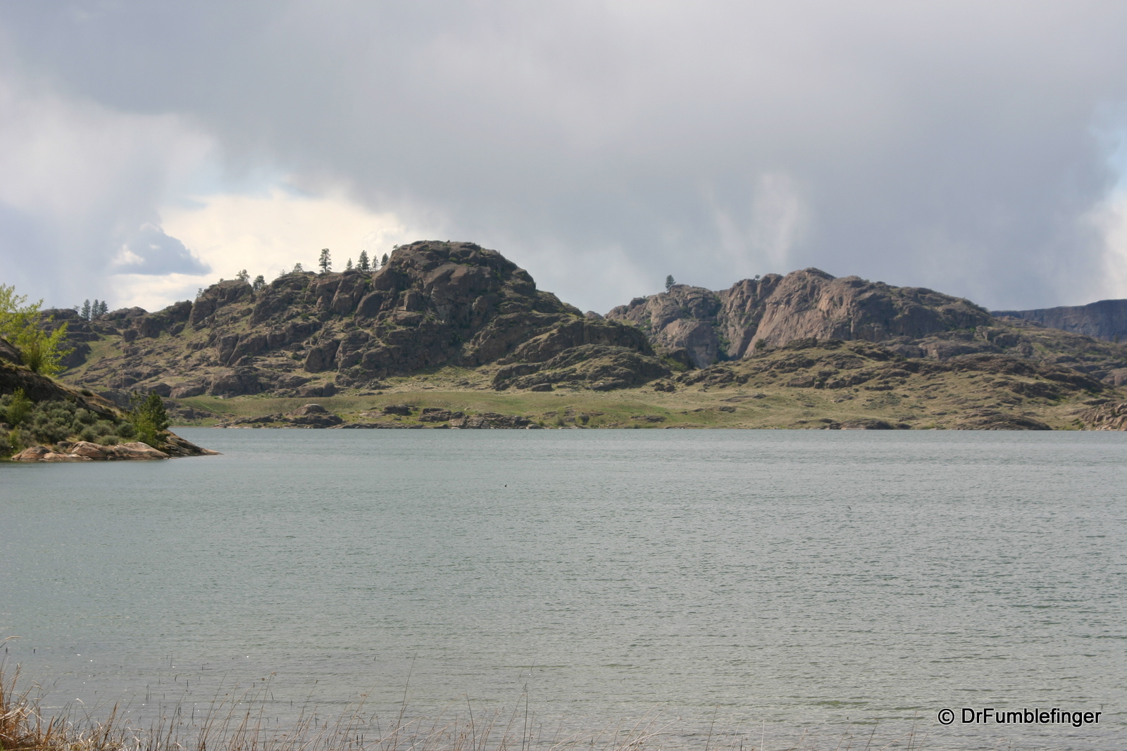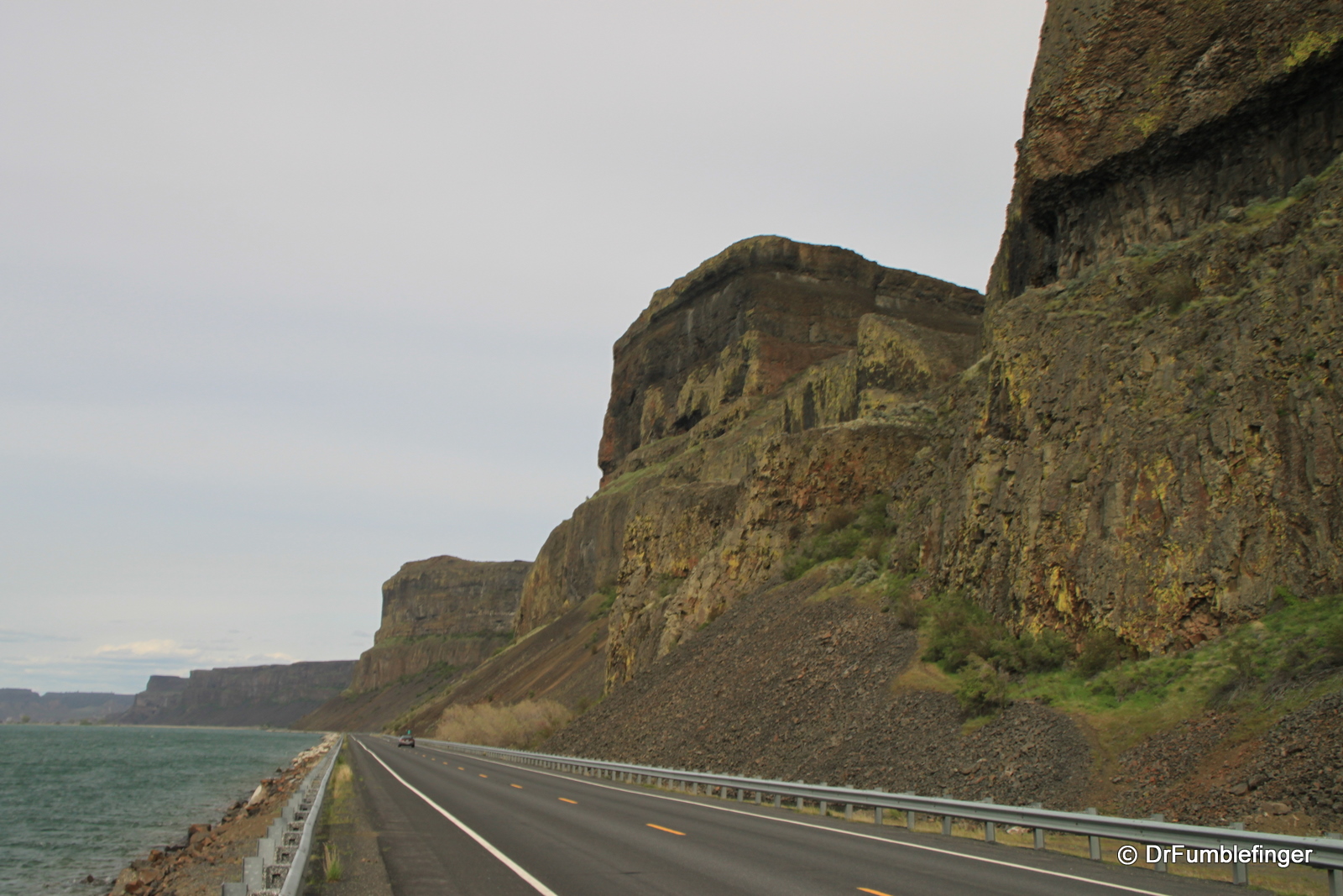
Like the black monolith sitting on the Serengeti plain in the film 2001:A Space Odyssey, the large basalt mass of Steamboat Rock is a distinct landmark in Central Washington state. Steamboat Rock State Park is a dozen miles southwest of the Columbia River’s massive Grand Coulee Dam. The Park is on a peninsula adjoining Banks Lake and is accessed by route 155. Steamboat Rock itself is a high wind-blown mesa above the lake, but the surrounding park is a popular recreational venue with campgrounds, a nice swimming beach, hiking trails, and boat launch providing access to the recreational fisheries of Banks Lake.
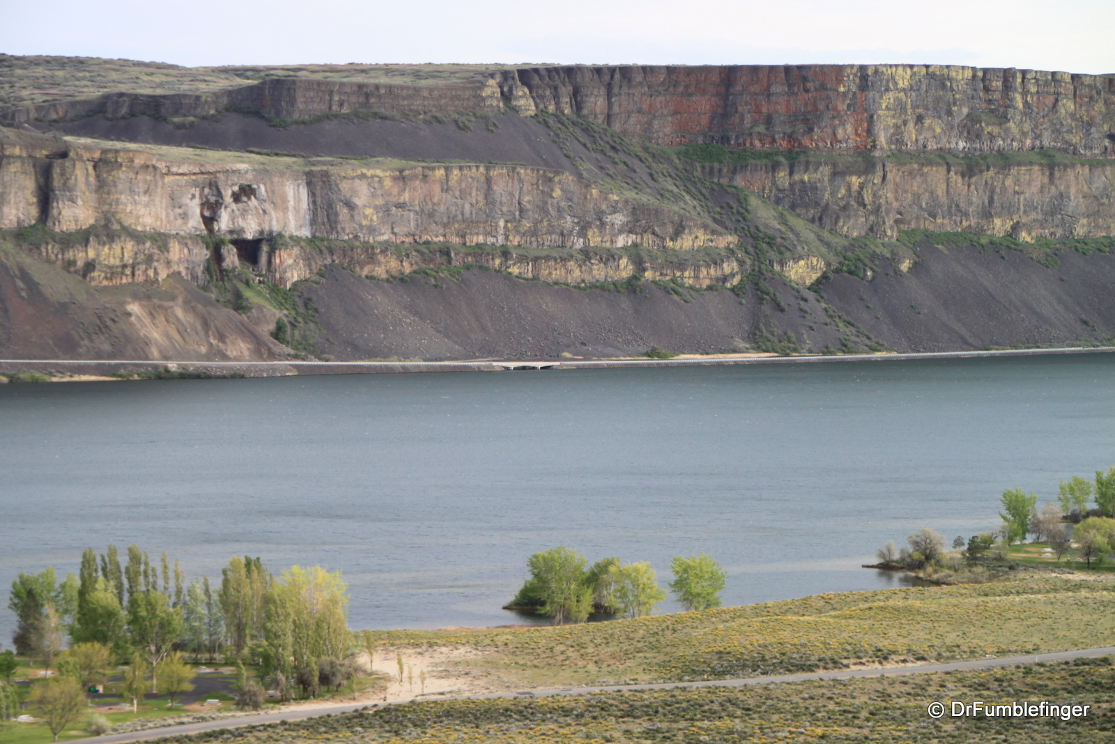
I have discussed the Channeled Scablands of Central Washington in a prior post on this blog. Briefly, this area was formed by the erosive effect of the Missoula Floods which occurred at the end of the last great Ice Age. As a sequelae of the severe but intermittent flooding, deep canyons — called coulees — were formed. The largest of these is Grand Coulee, a now defunct channel of the Columbia River which is home to Steamboat Rock (historically an island in old course of the Columbia River).
The deserts of central Washington are ideal places for hiking during the spring (end of March thru May). The weather is usually dry, warm and pleasant — not yet hot — and the vegetation green with a profusion of wildflowers. The geology of the area is fascinating and as it is almost treeless, anytime you gain altitude the views are usually superb; this is certainly true of Steamboat Rock.

Steamboat Rock, viewed at at distance
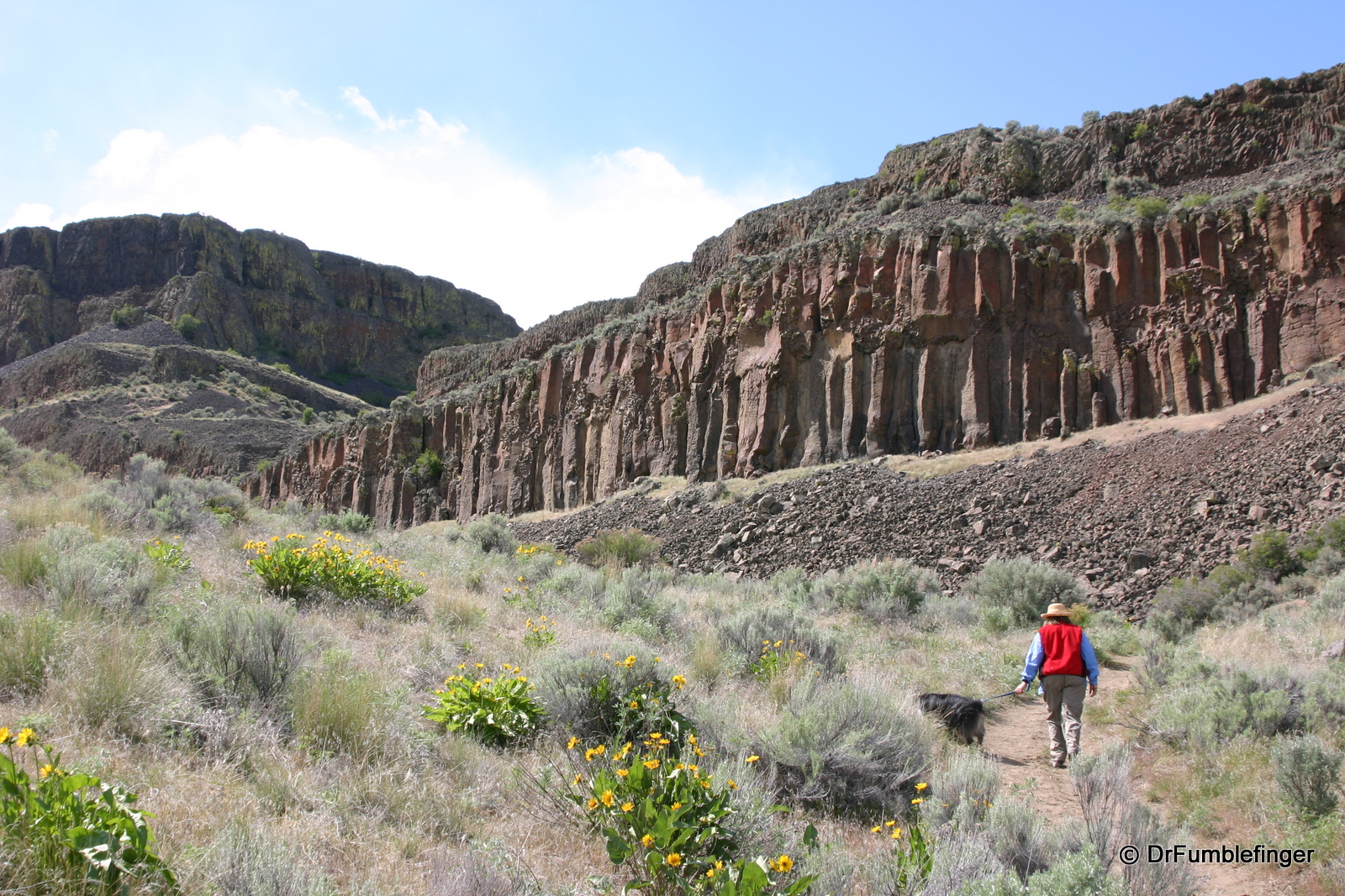
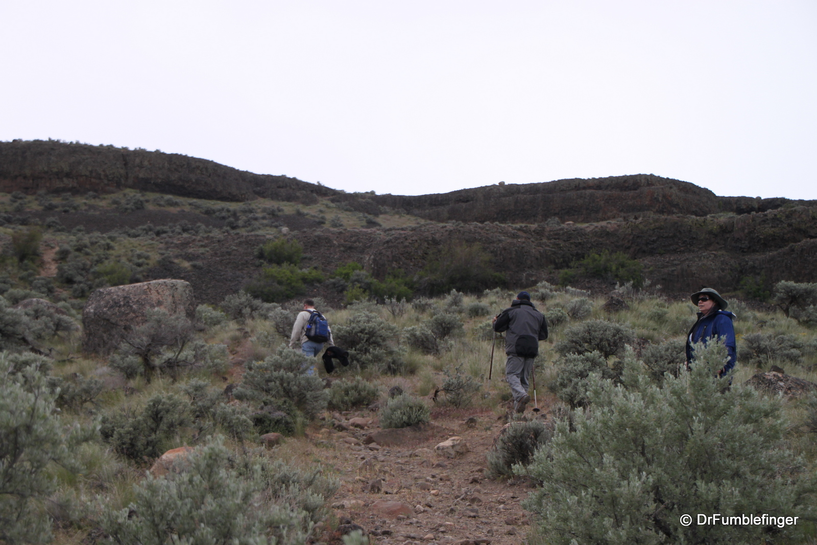
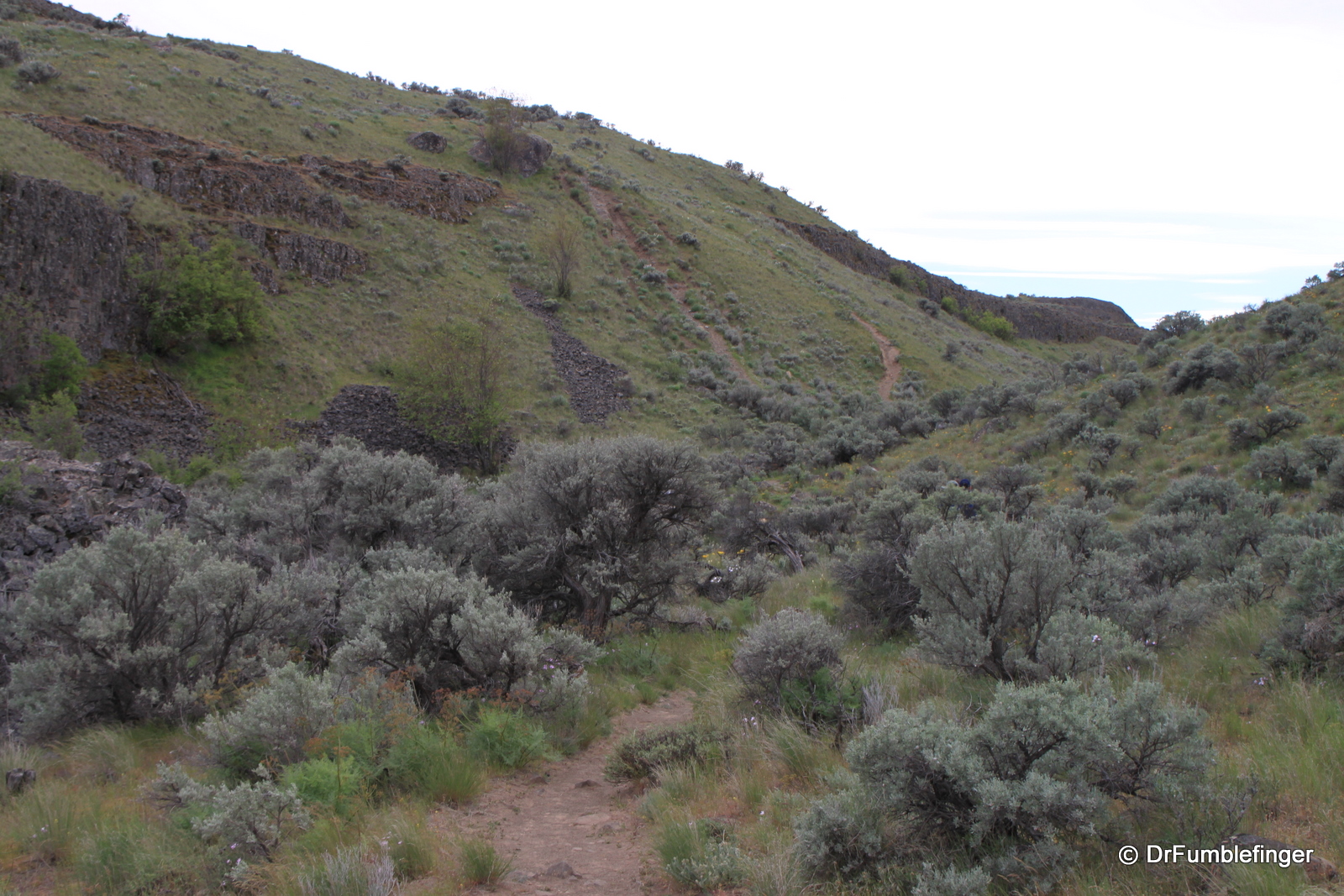
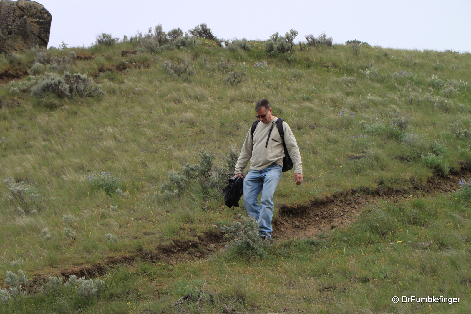
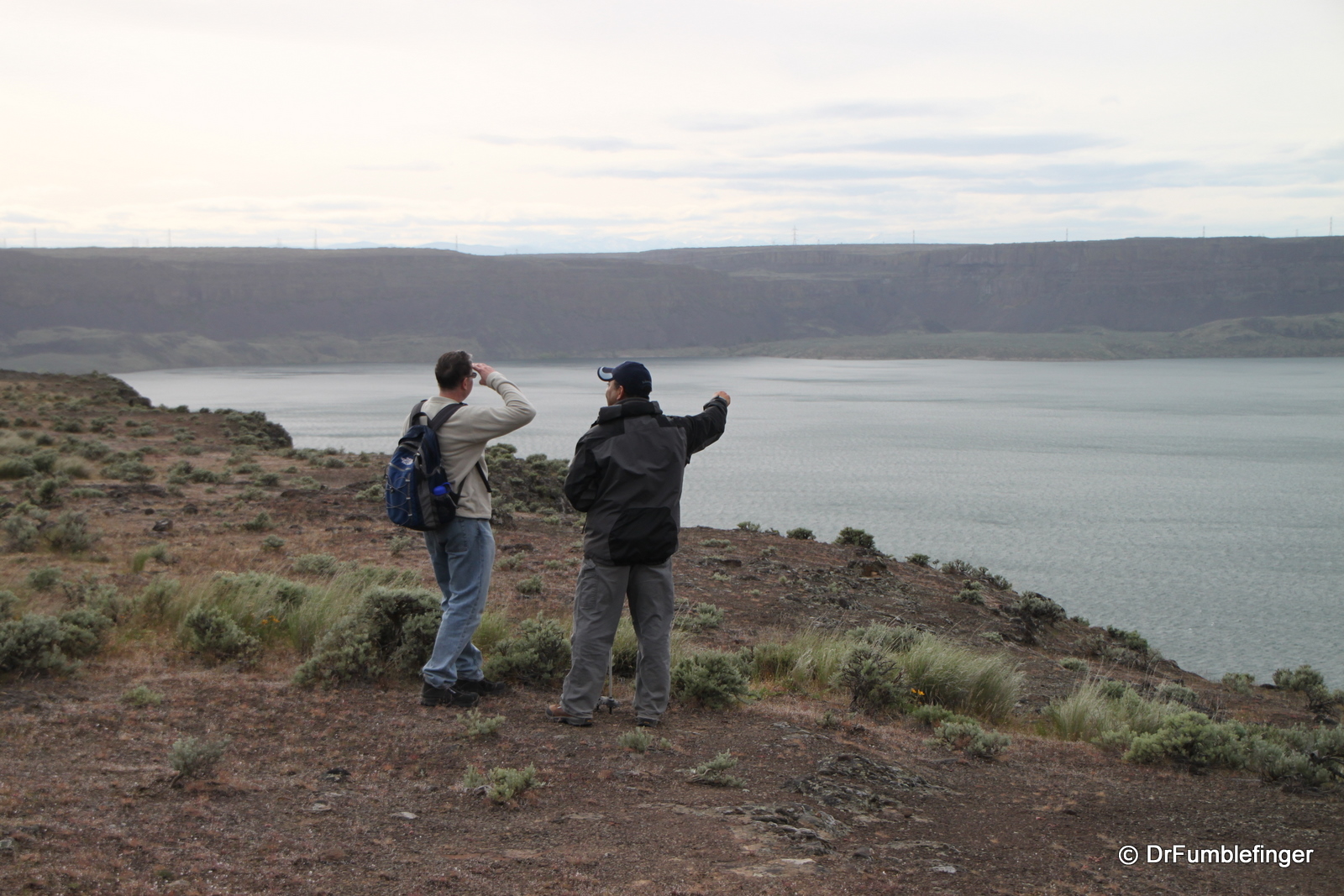
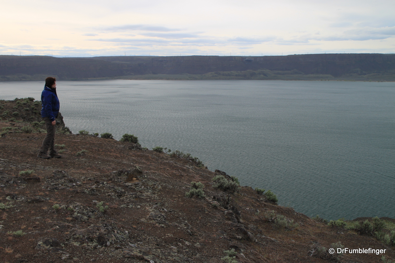
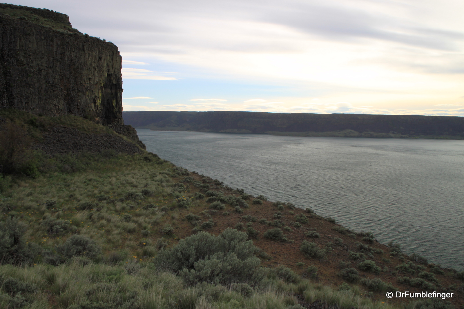
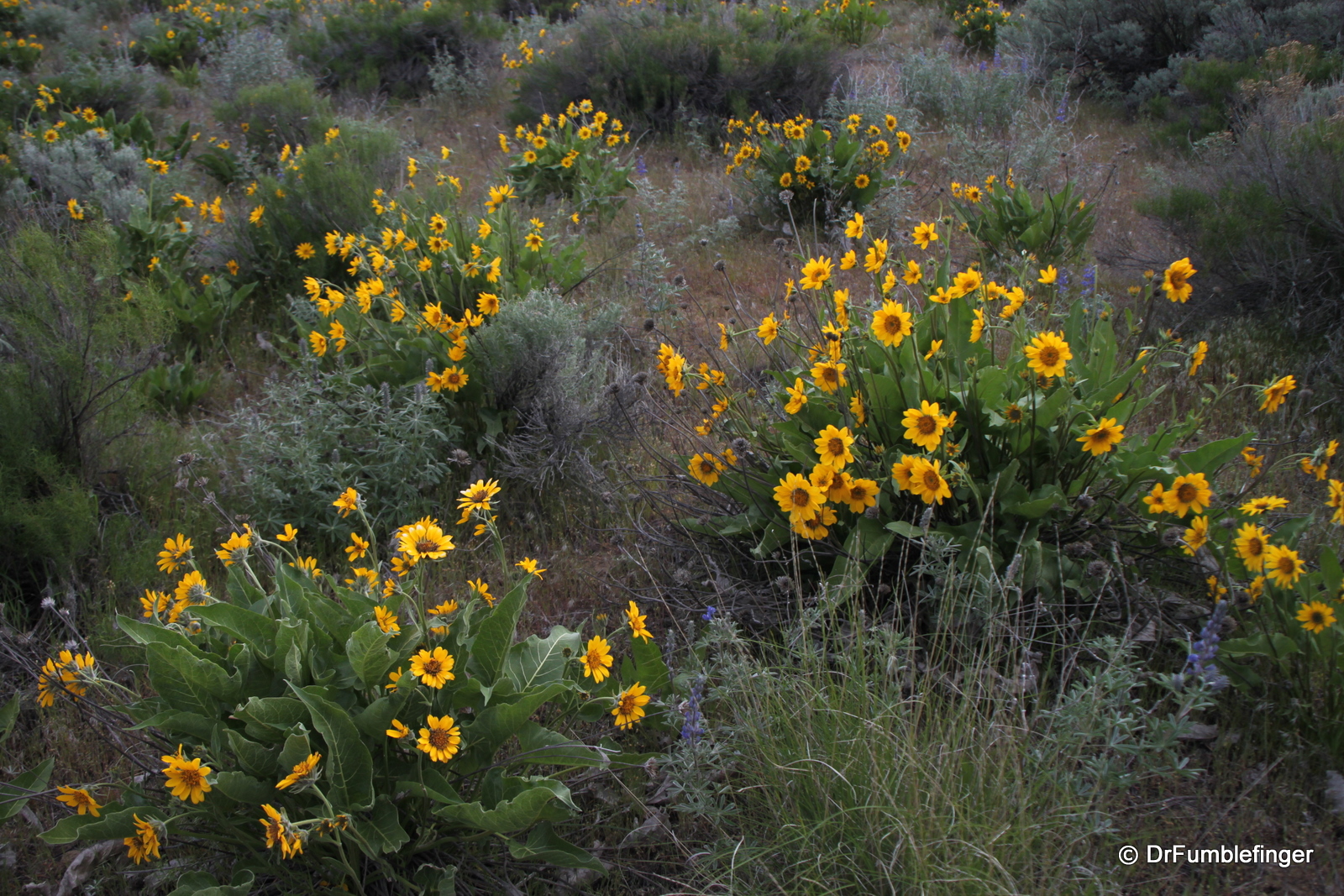
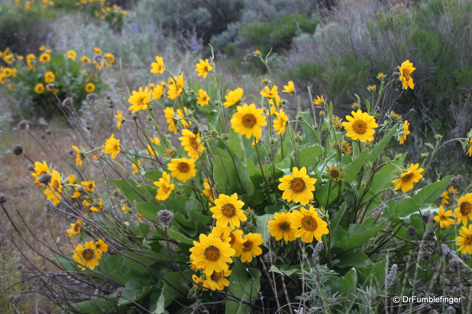
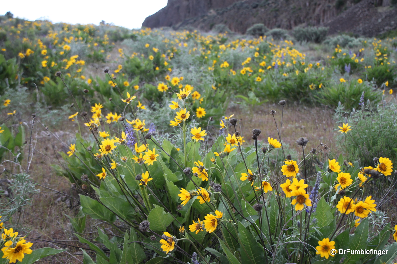
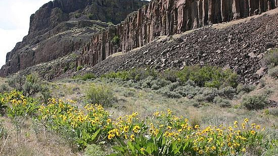
The trail that interested us was the only one that provided access to the top of Steamboat Rock. It begins on the south side of the rock, with a gradual up hill climb from the parking area through a meadow of blooming balsam arrowroot, then steeply up a narrow canyon to a series of plateaus on the top of the butte — about 700+ feet above Banks Lake. Its relatively flat up top, though with significant ups and downs. I found my trekking poles to be very helpful in keeping my footing (especially on descent). Once you have ascended to the top you can relax and enjoy the scenery and leisurely stroll around. The views of Banks Lake and the Channeled Scablands at all points are excellent, but especially so near the edge of Steamboat Rock. The Cascade mountains are faintly seen to the west.
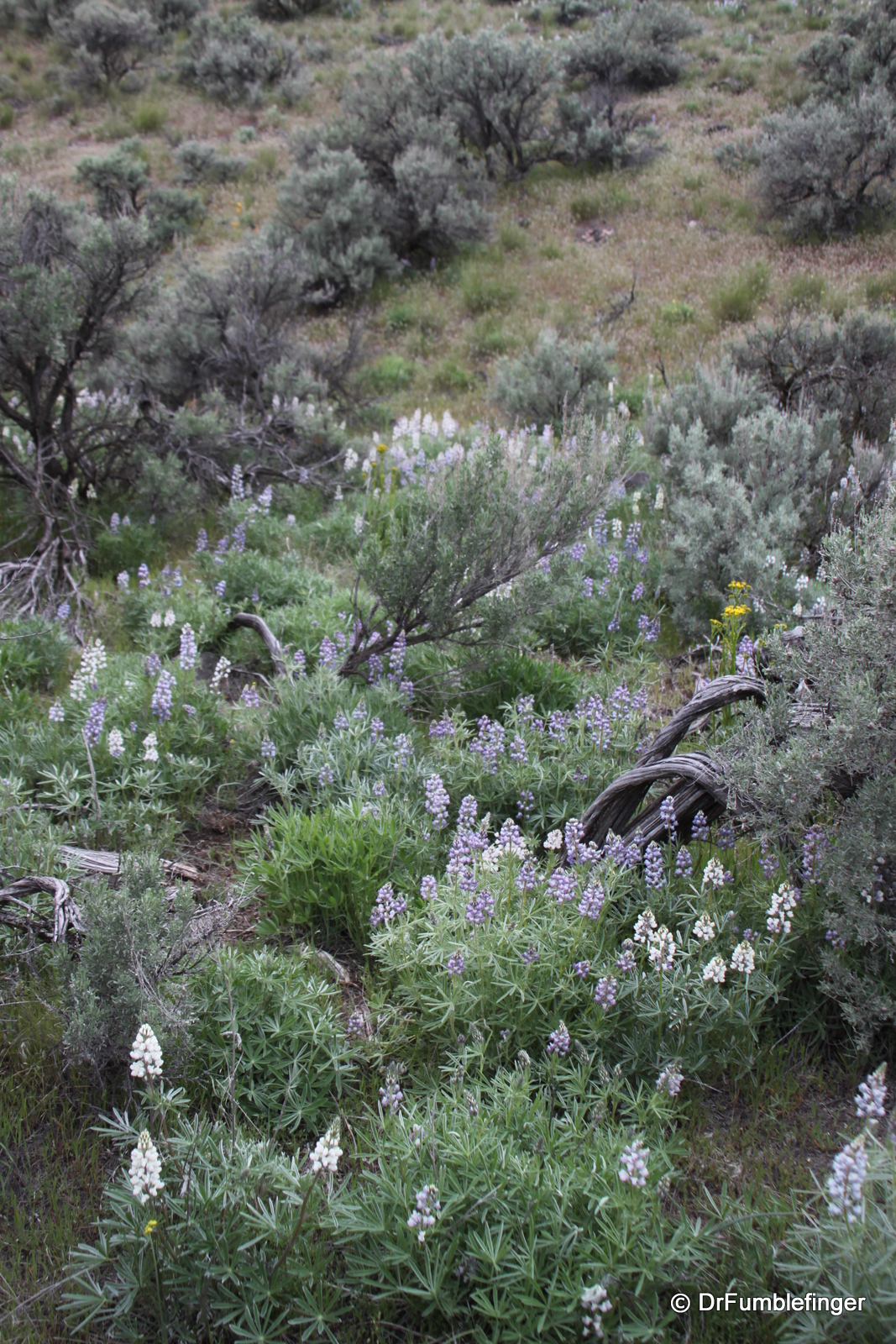
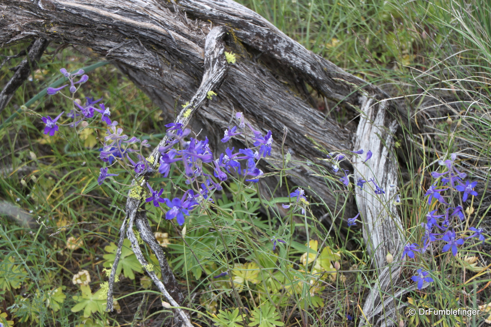
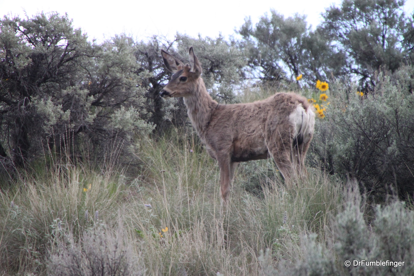
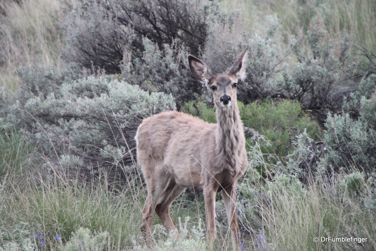
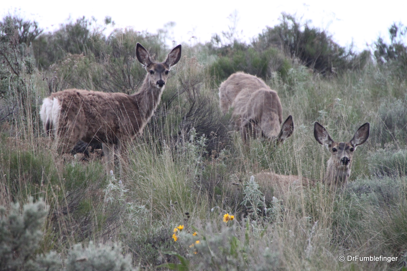
During our visit at the end of April we were especially lucky to see a profusion of wildflowers. This included balsam arrowroot at the base of Steamboat Rock and an assortment of sage, prairie lupin, prairie star flowers, sage buttercups and phlox on the plateau at the top. A herd of mule deer live on the Rock, some of which we saw late in the afternoon. Rattlesnakes are common in this area, though we never saw any, but be cautious when climbing — especially when placing a hand or foot into a hold you can’t clearly see. Birds are plentiful, including eagles, canyon wrens and meadowlarks.
It was a fun hike made memorable by the beautiful views and abundance of wildflowers. An good write-up of the hike can be found in Rich Landers excellent book, 100 Hikes in the Inland Northwest.
(Click on Thumbnails to enlarge, right arrow to advance slideshow)

