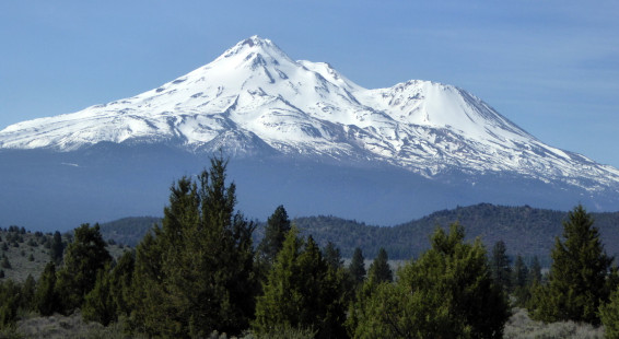
One of the most memorable drives I’ve done in recent years is the road that stretches between Klamath Falls, Oregon, and Mount Shasta in Northern California. Route 97 heads southwest towards the ever looming presence of majestic Mount Shasta, one of the prettiest mountains anywhere.
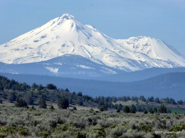
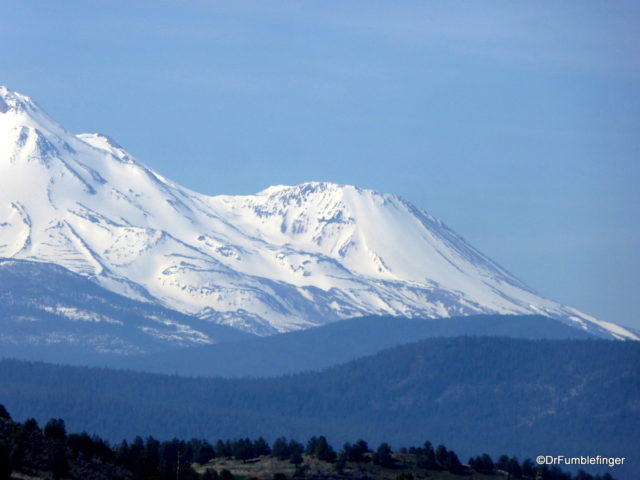
We did this drive last month and the views of that beautiful peak were one of the highlights of our trip. It was a clear day and Mt Shasta was visible for more than an hour. We stopped frequently for photos because we were worried the peak might disappear the closer we got because of hills obstructing our view, but that was not the case; some of these images are interspersed with this narrative, each subsequent photo is taken progressively closer to the peak (some with a zoom lens). The landscape is ever changing, but fairly flat, so you get a lot of great views all the way to its base.

Mt. Shasta, California
Here’s a listing of some of the notable features of Mount Shasta:
1) It is the second tallest peak in the Cascades, surpassed only by Washington state’s Mount Rainier (which is just 249 feet taller). Mount Shasta has a base diameter of 17 miles, so it is a more massive volcano than Mount Rainier is.
2) Mount Shasta stands an impressive 14,179 feet/4,322 meters high. California’s Mount Whitney is the tallest peak in the lower 48 states and while it measures 14,505 ft, it is crowded in with other mountains and is not nearly as dramatic as isolated Mt Shasta.
3) It is more than 10,000 feet from its base to the peak, and the peak is more than 5,000 feet taller than any of its close neighbors, so it really stands out.
4) Mount Shasta is covered by several glaciers and once had large stands of incense cedar forests on its slope. These cedar forests were largely cut down to make, of all things, pencils. The wood was so popular in the 20th century that half the wooden pencils in the world were made from Mt. Shasta cedar.

Mt. Shasta and Shastina subpeak
5) Shastina, Mount Shasta’s largest subordinate peak, is one of the youngest of the Cascade’s volcanoes. Its last eruption occurred in 1786. Mt. Shasta historically has erupted about once every 800 years.
The area around Mount Shasta is very popular with people seeking adventure in the outdoors. The greatest challenge, of course, is to climb the mountain’s snowy slopes and summit its peak, but there are skiing and snow-boarding opportunities in the winter, and in the summer you can camp, fish, hike and backpack. And if you don’t want to do anything quite so physical, you can just take some time and study the volcanic cone, burning its image into your visual scrapbook.
If you have the option of doing this drive, I really recommend you make it part of your trip from Oregon into California. Make the time to stop often, look, and take photos. The best spot for a good view, if you only stop once, is at the Mt. Shasta Scenic Viewpoint just south of Grass Lake, which offers the great opportunities to study the entire peak.
(Click on thumbnails to enlarge, right arrow to advaice slideshow)