Among the most popular hikes in Kootenay National Park is the trail to Stanley Glacier, situated in British Columbia near Alberta, close to Castle Junction in Banff National Park. The trail provides a great half day hiking opportunity. It’s an 8.5 km round trip hike (just over 5 miles) and has a modest elevation gain of 365 m (about 1200 ft). I would rate it as a “moderate” effort hike.
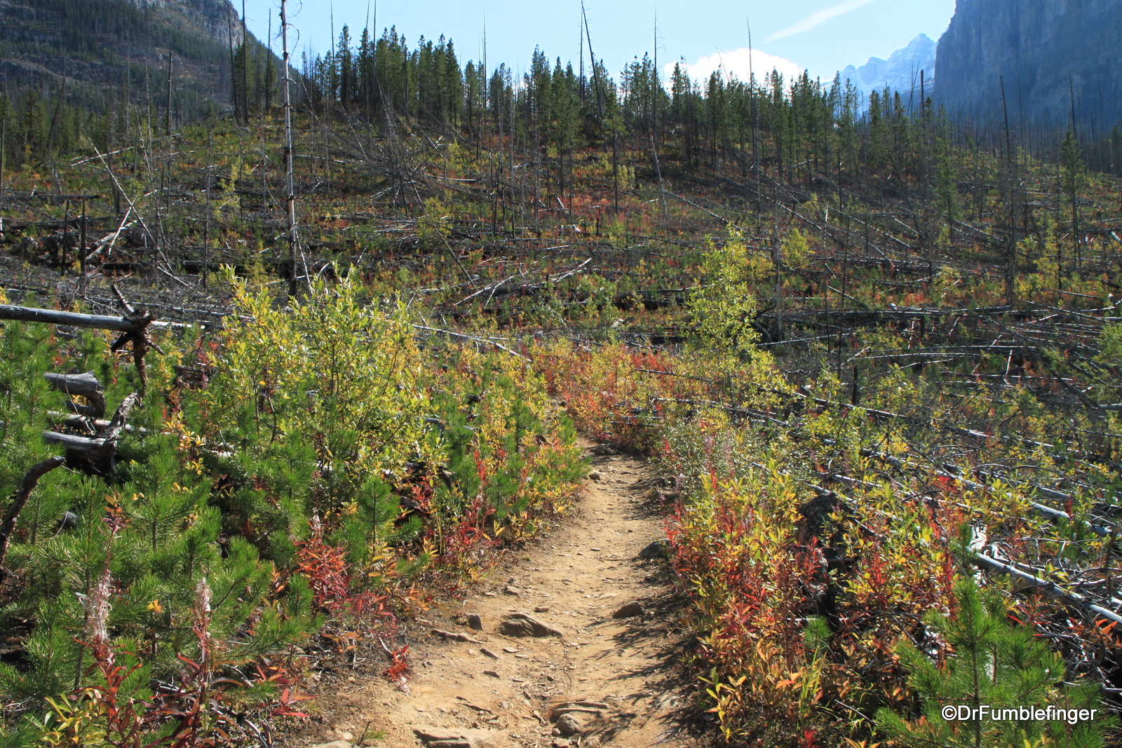
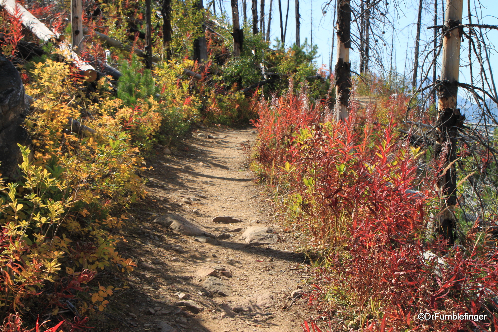
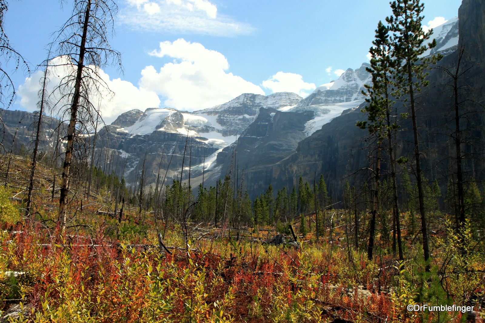
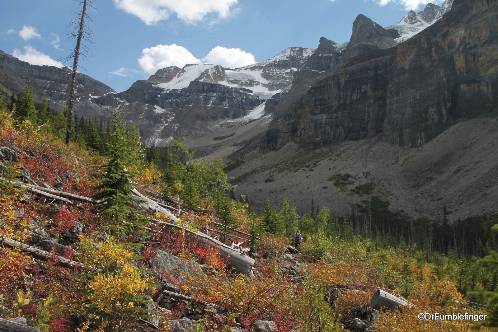
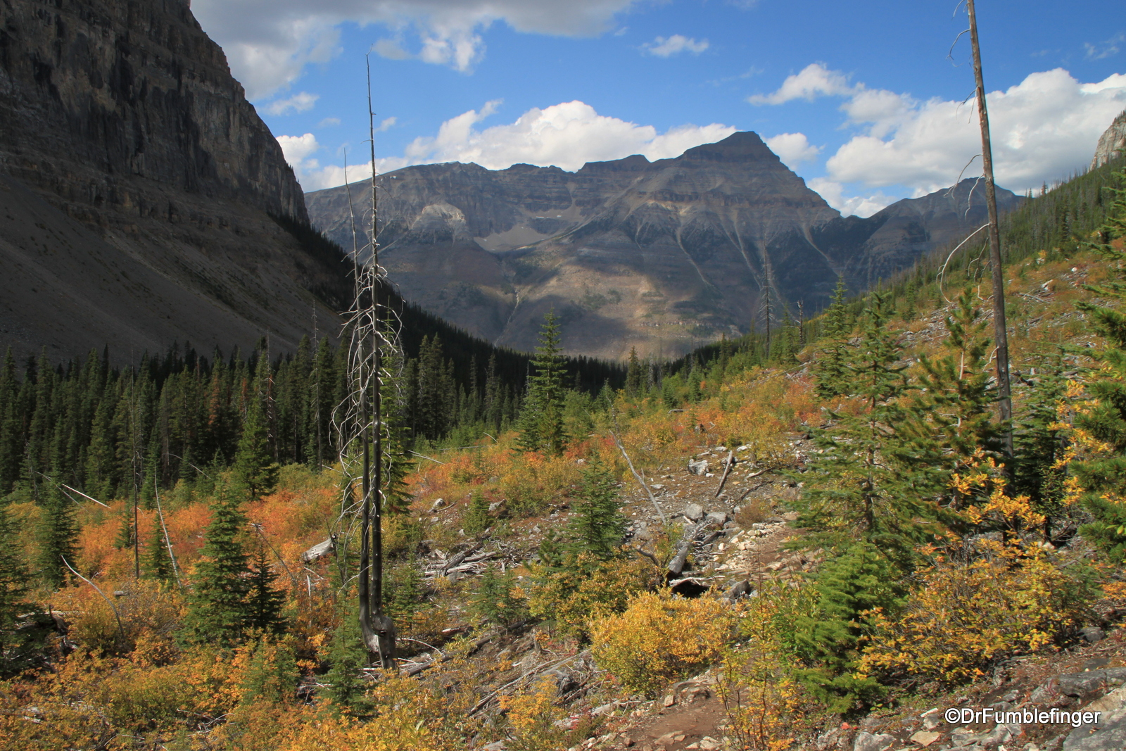
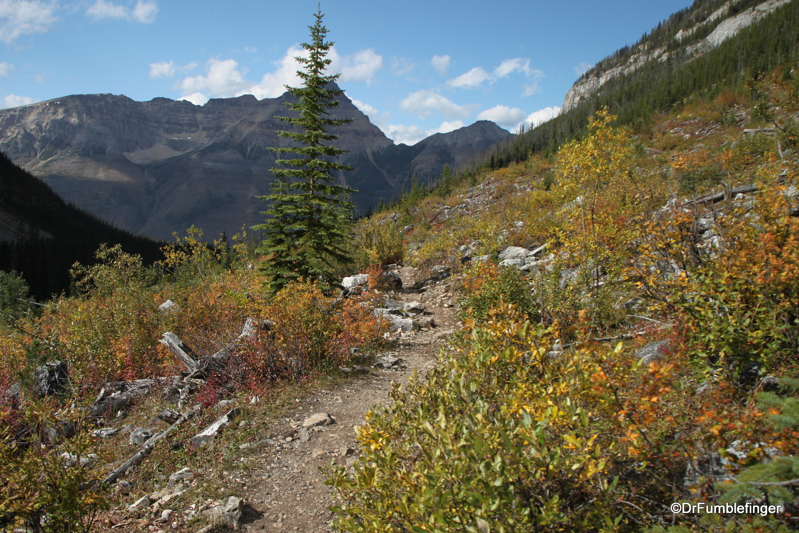
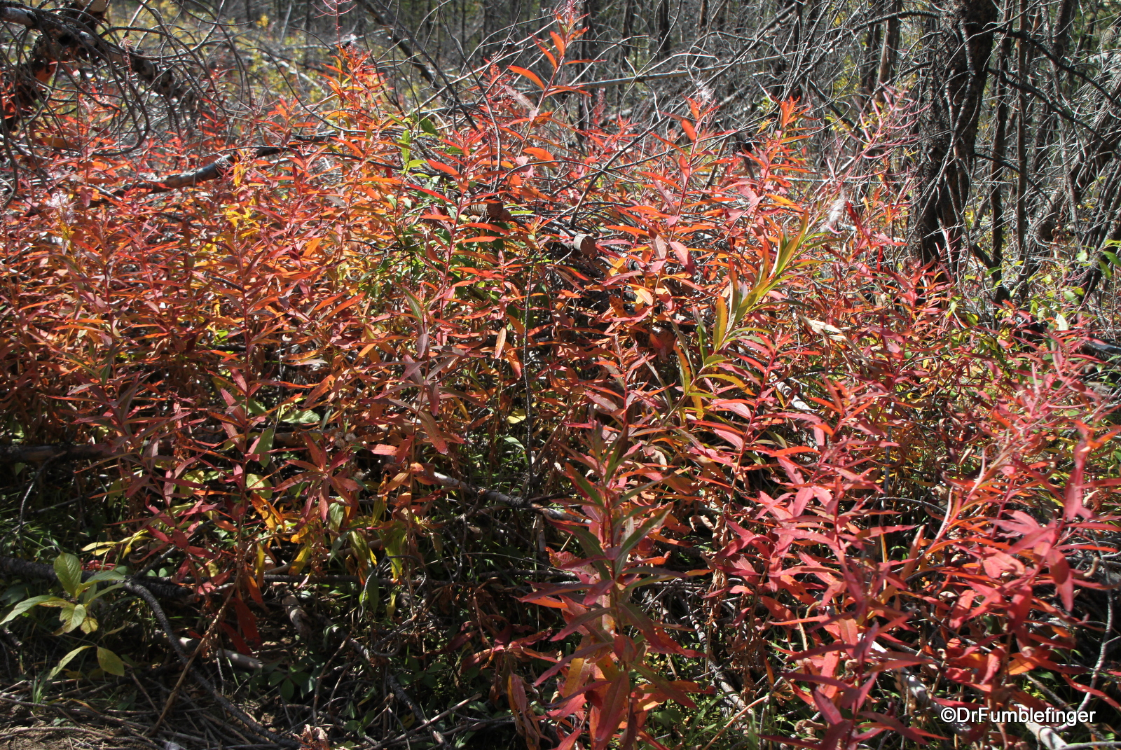
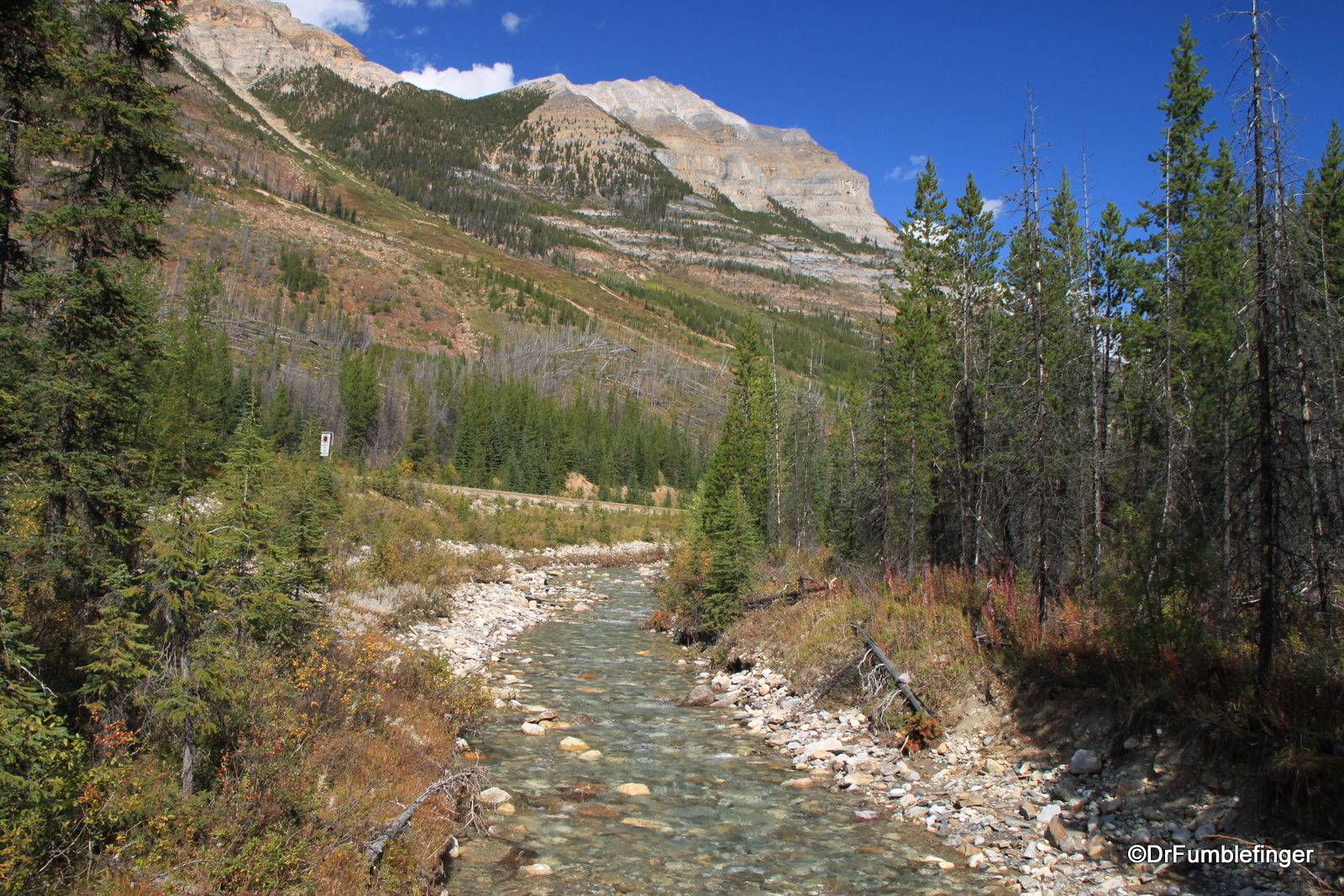
The hike encompasses much of what makes the Canadian Rockies a special place to visit. There are grand panoramic views of tall mountains and a deep valley, a hanging glacier in a hanging valley, crystal clear creeks, and the sequelae of several forest fires that have the swept the area, the last less than 10 years ago. It’s through this “burned out” area that you begin your hike, as you ascend a gently graded trail with many switchbacks through what was once a forest of charred dead tree trunks (most of which fell in strong winds earlier this year). This part of the hike offers unobstructed views of the Vermillion River Valley for most of your ascent. In the ashes of this fire arise millions of wildflowers, grass, small shrubs and pines, good habitat for deer, elk and bear. This would be a great hike to do in early summer so that you can enjoy the profusion of blooms, but I was pleasantly surprised to see how equally colorful it was in mid-September. Light frost had touched the area and it was vivid in it’s fall shroud. Most striking was the deep burgundy leaves of fireweed — a beautiful plant that is among the first to take root in burned out areas. Reds are uncommon fall colors in the Canadian west, so it’s nice to see it in fireweed.

Fireweed’s fall colors
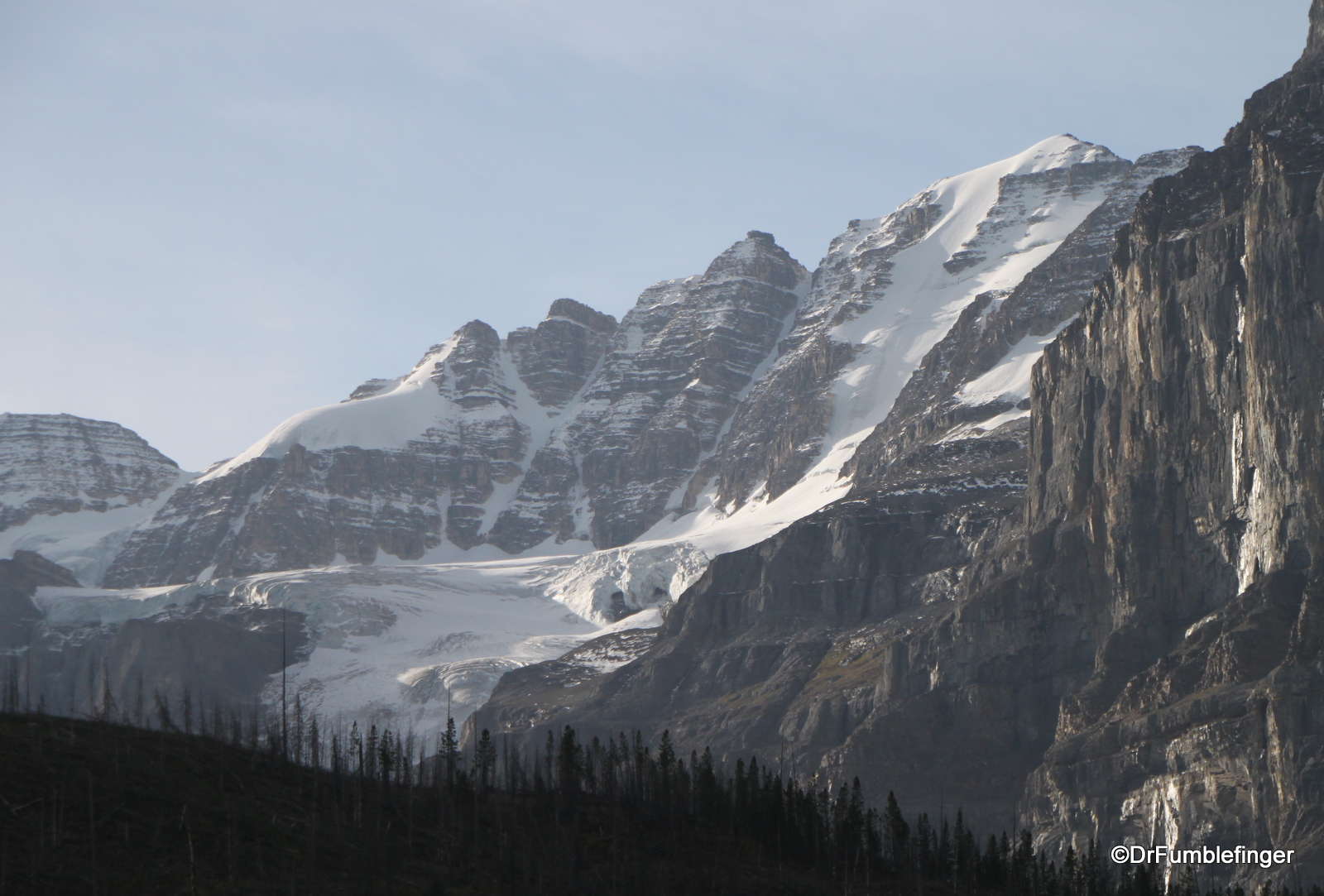
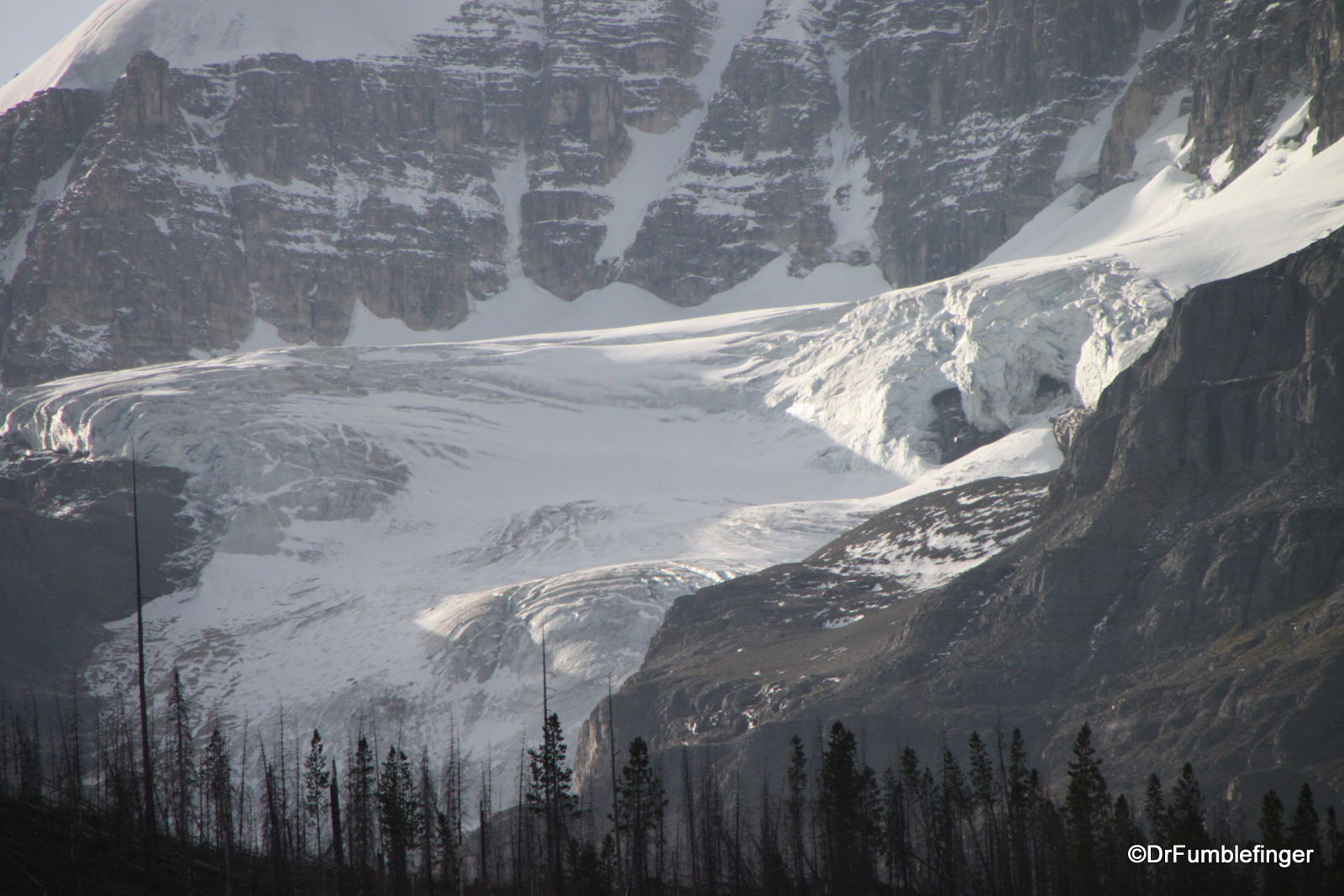
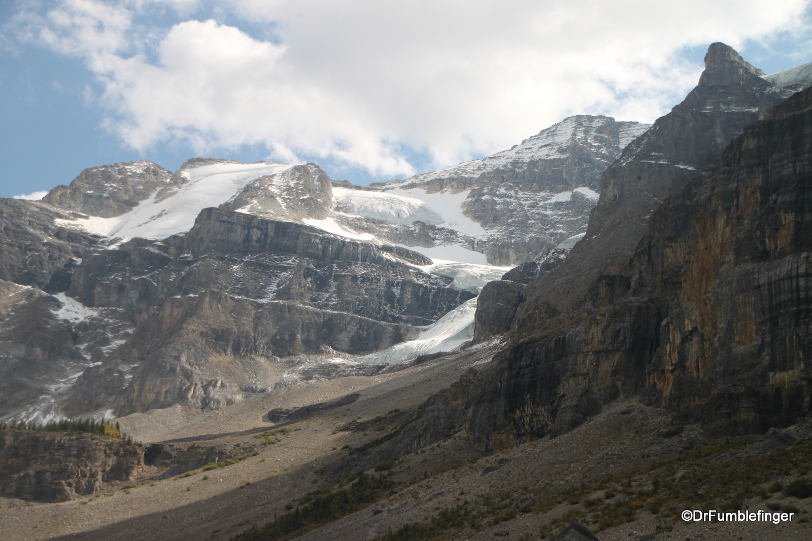
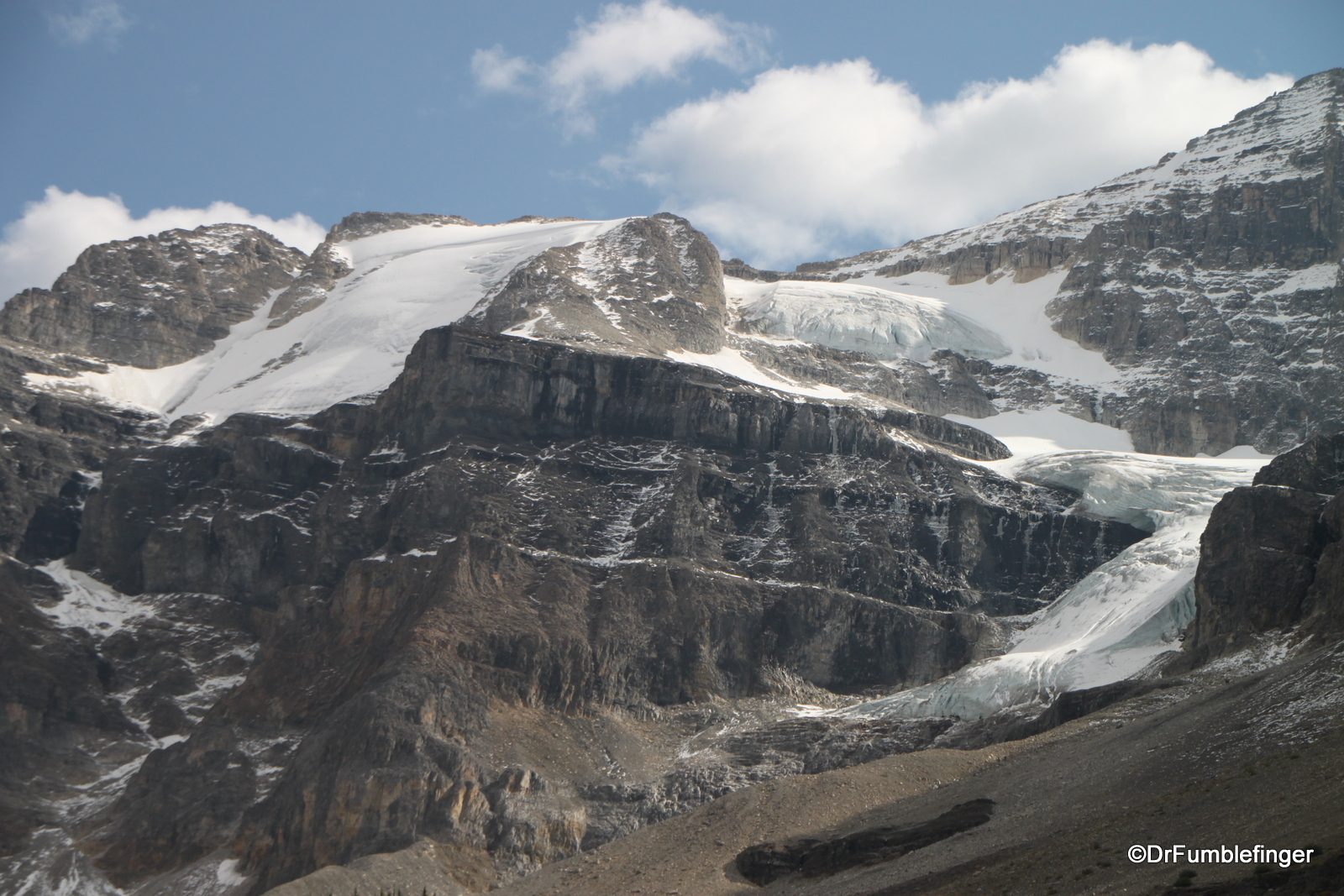
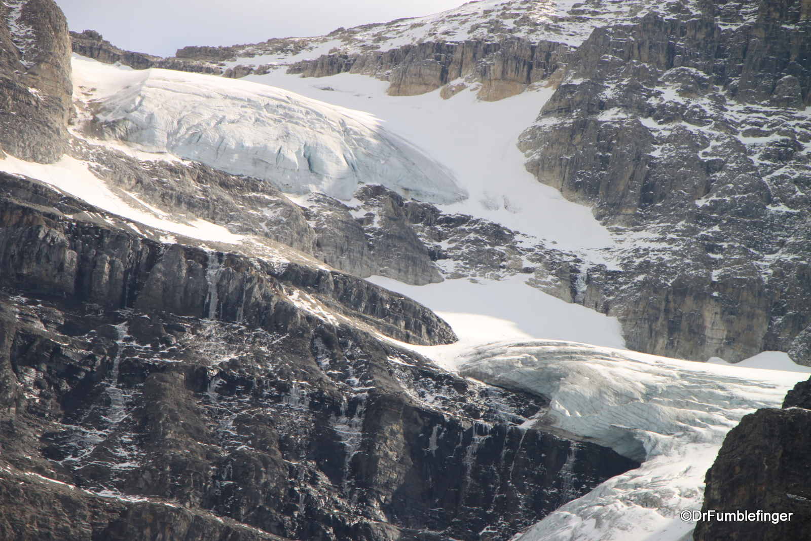
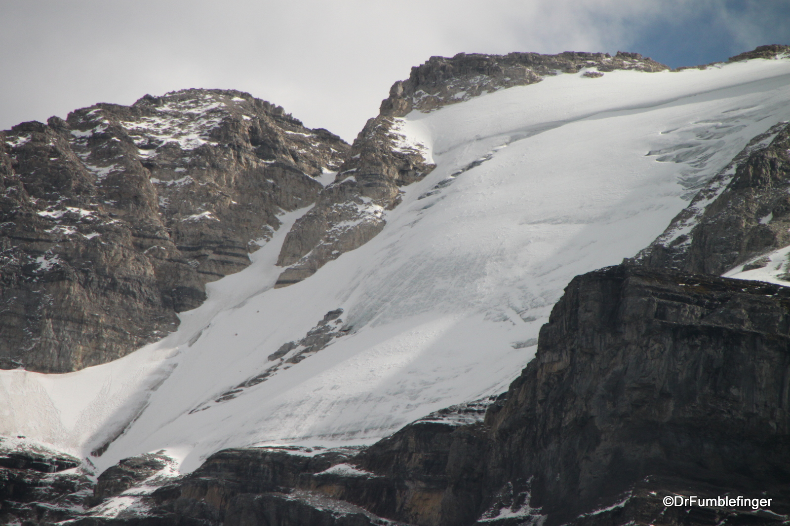
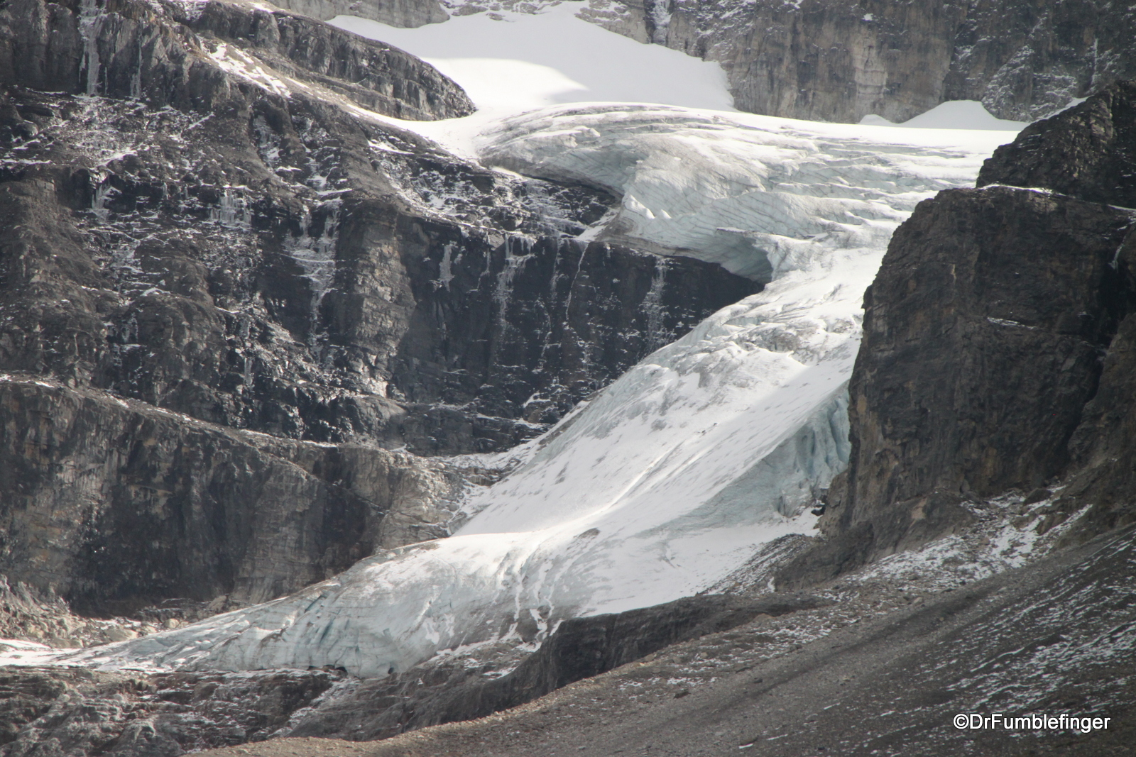
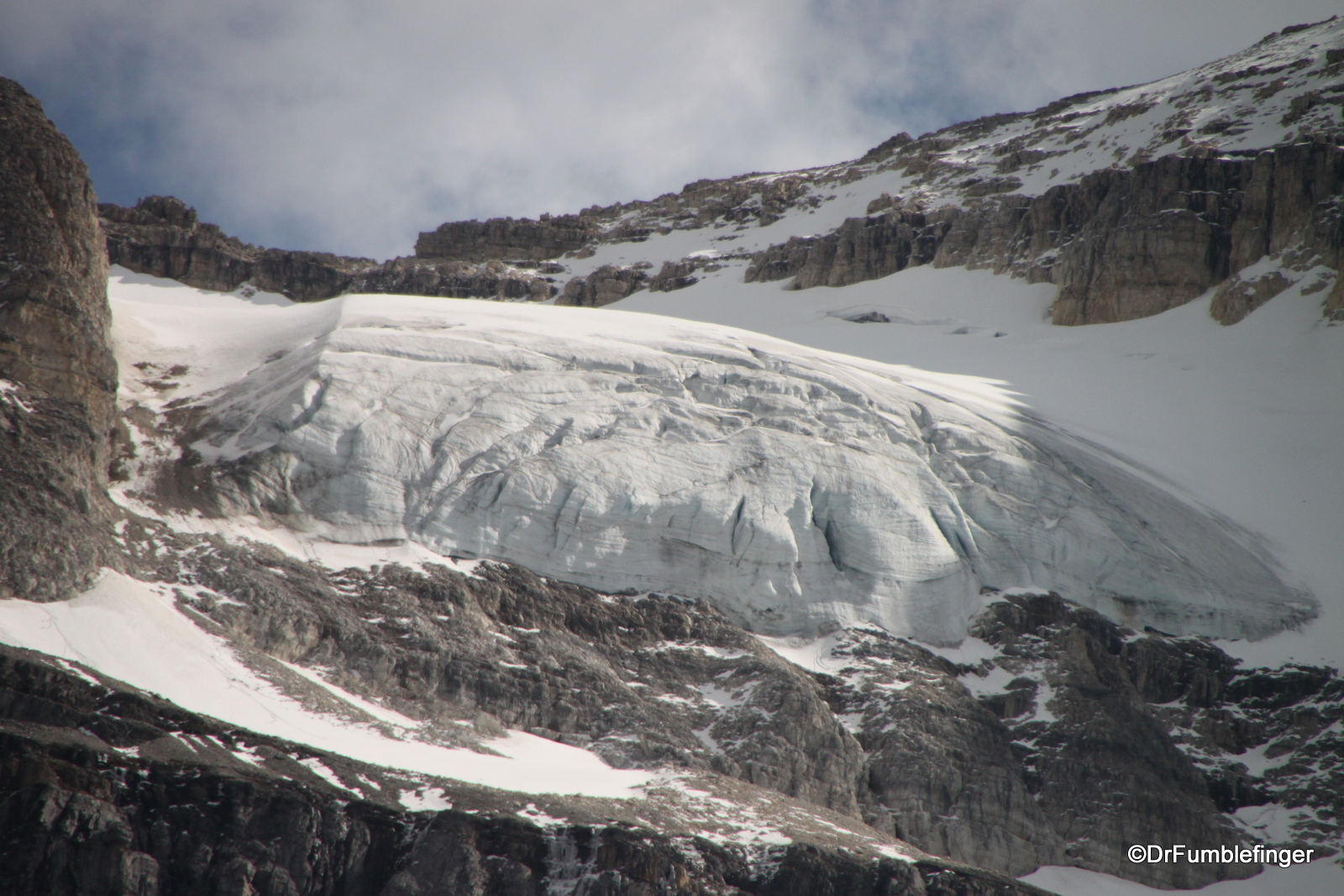
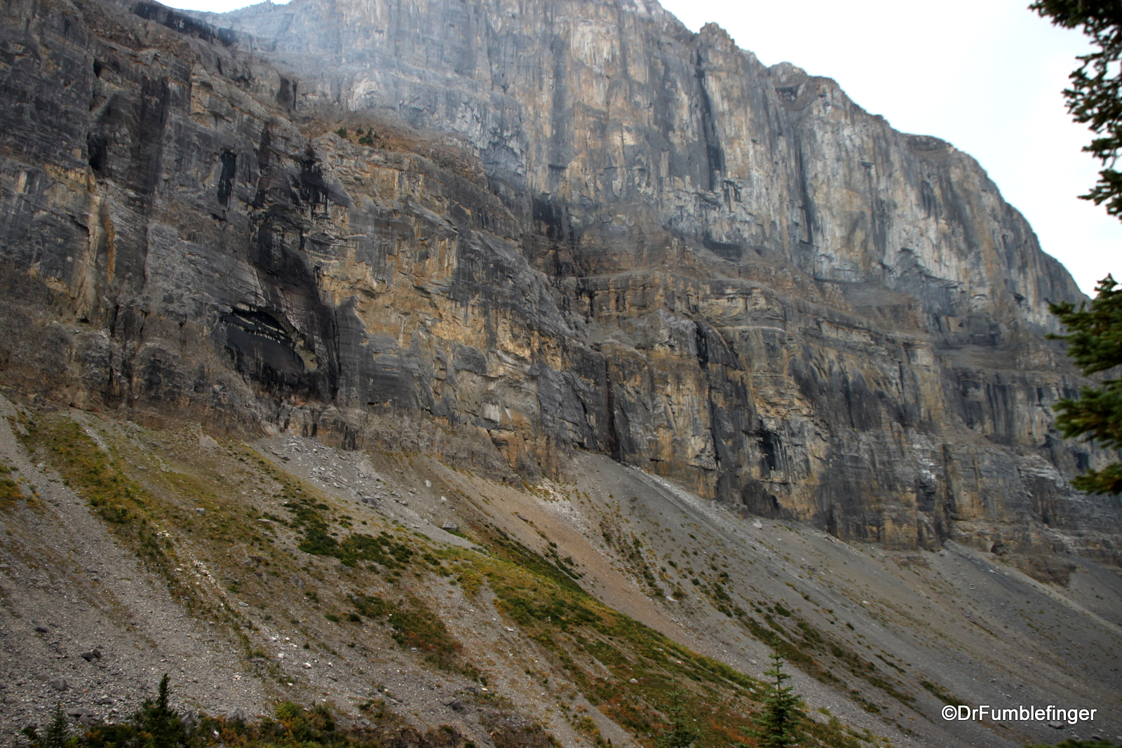
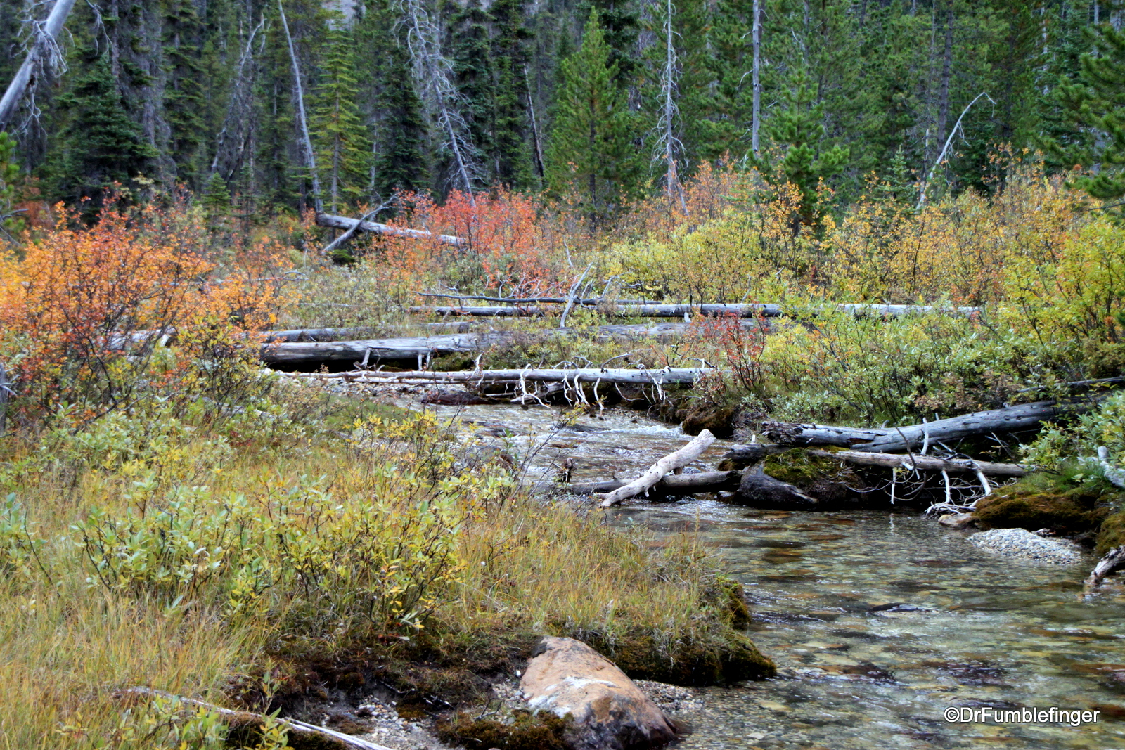
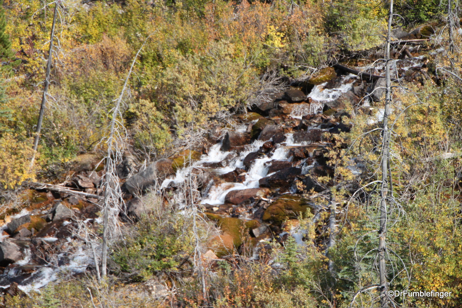
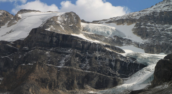
Once you’ve hiked up this lower part of this trail, you cross Stanley Creek over a log bridge and enter the hanging valley; it is from here that you are rewarded with your first views of the Stanley Glacier, which are beautiful and memorable. Most of the rest of the hike is a slow ascent towards the glacier, through thinning forest. You end up in a rock/boulder field, with the steepest part being the last stretch just before you reach the region of the base of the glacier. Here the trail sort of splits and ends, and you can more or less stop hiking where you want. The glacier comes ever closer into view as you hike up the valley and you can see the several remnant parts of this glacier hanging off the mountain (all glaciers in the Canadian Rockies have been receding since the last mini-Ice Age ended in the mid 19th century). You can get quite close to this glacier — but without technical climbing gear you can’t really directly reach it. But you are rewarded with close views of this compressed mass of ice and snow, and of the beautiful carved Stanley basin. Glacial melt forms small waterfalls that become Stanley Creek. Trail’s end is a great place for a picnic lunch and rest before you head back the same way you came. The return journey frames views of the large mountains to the north.
It was a beautiful day and the full spectrum of fall colors made this a wonderful and memorable hike. I need to come back in a few years earlier in the season so that I can enjoy the wildflowers in bloom!
(Click on thumbnails to enlarge, right arrow to advance slideshow)
