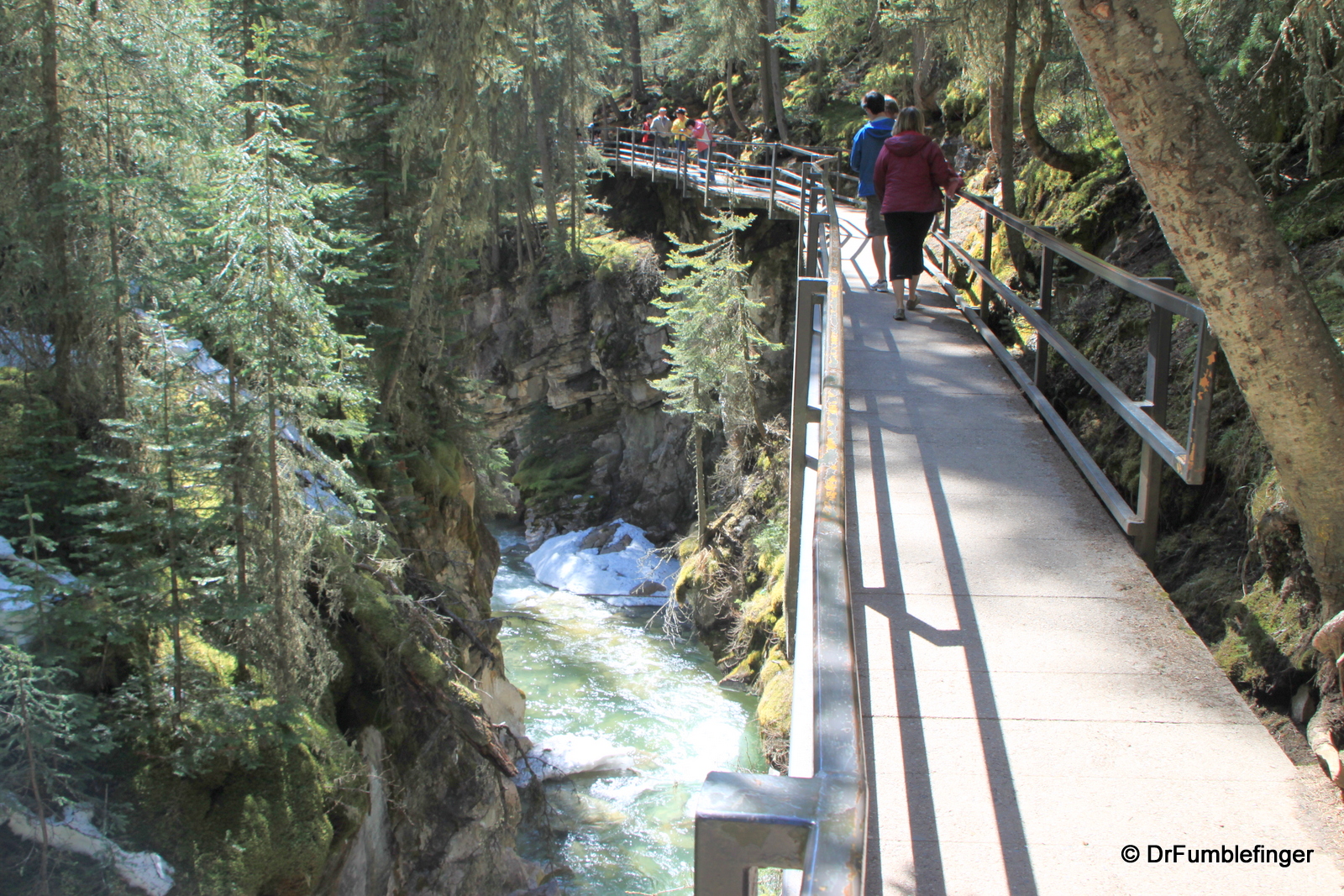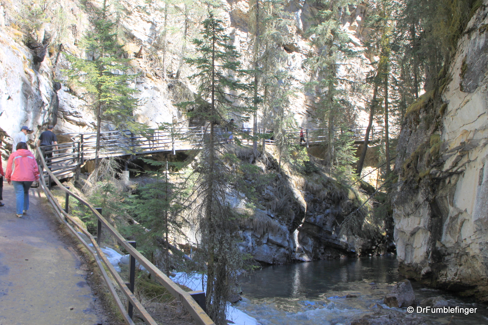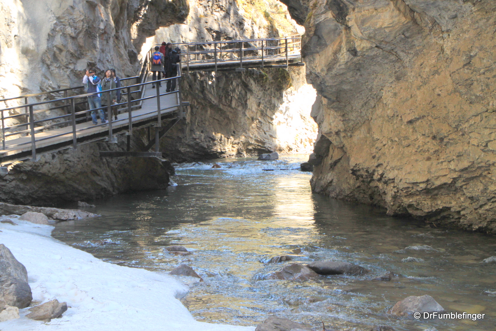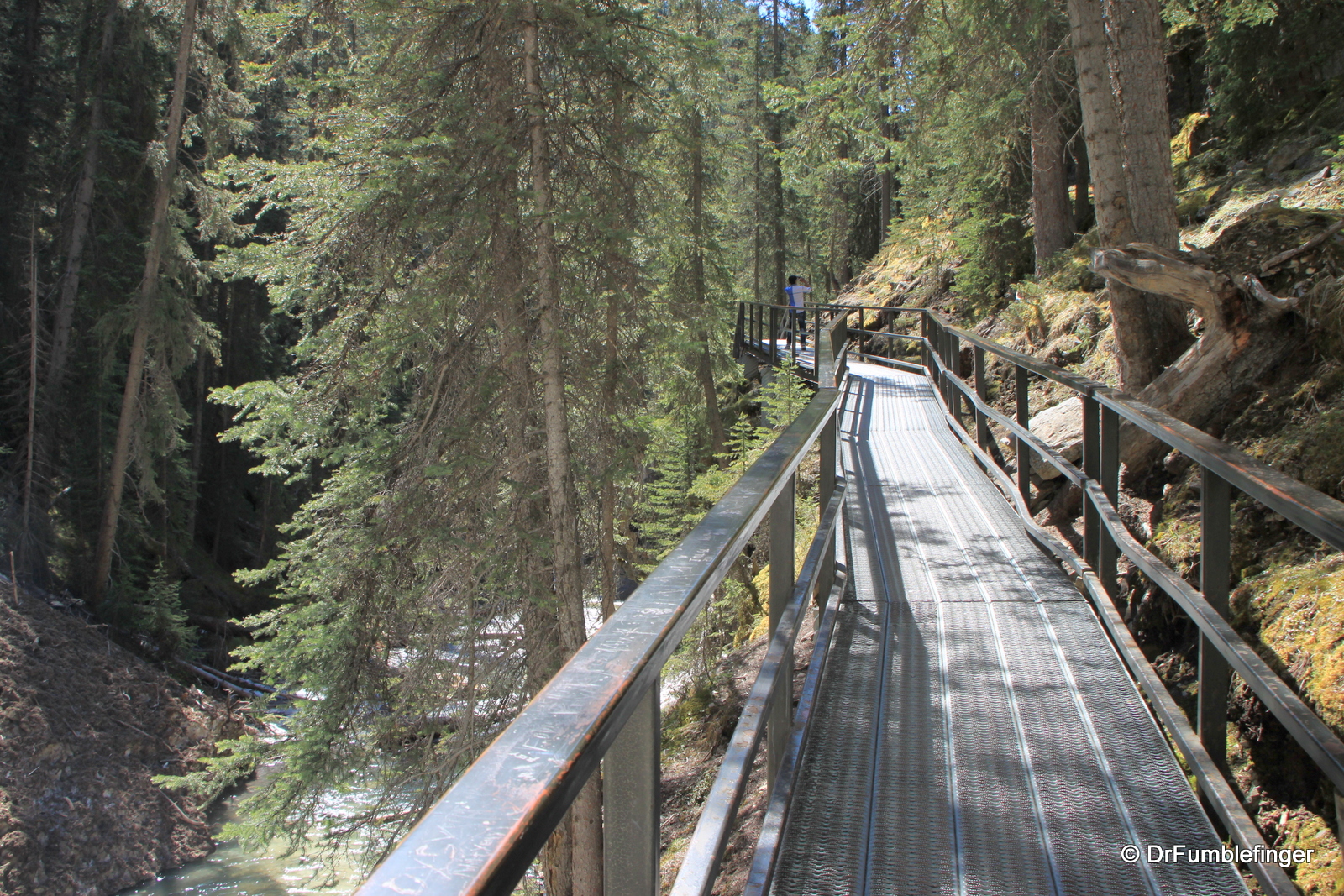
The most popular hiking trail in Banff National Park, if not the entire Canadian Rockies, is that in Johnston Canyon. It’s said as many as a million people walk at least part of this trail each year. I’m not certain why the trail’s so popular with tourists. Perhaps it’s because of the fairly unique opportunity to walk on suspended trails (“catwalks”) attached to the canyon wall in a narrow gorge, or the green scenery, or the rushing cascading waters. But there are certainly better options for views of the gorgeous Rockies than what you’ll find here.
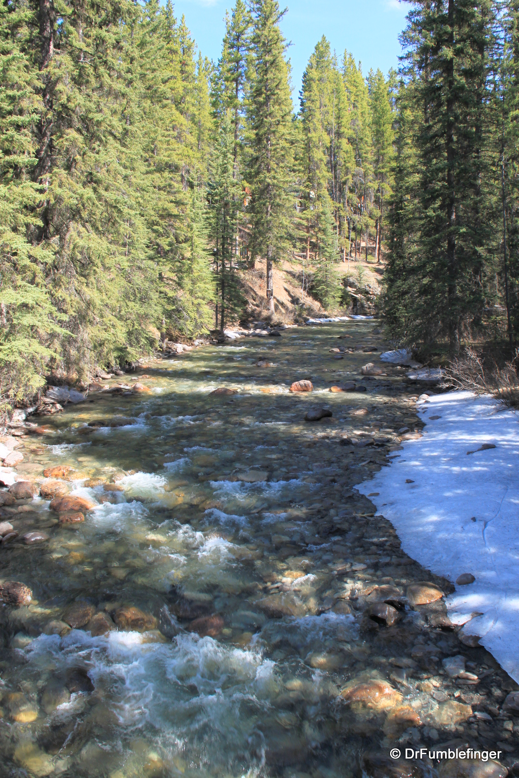
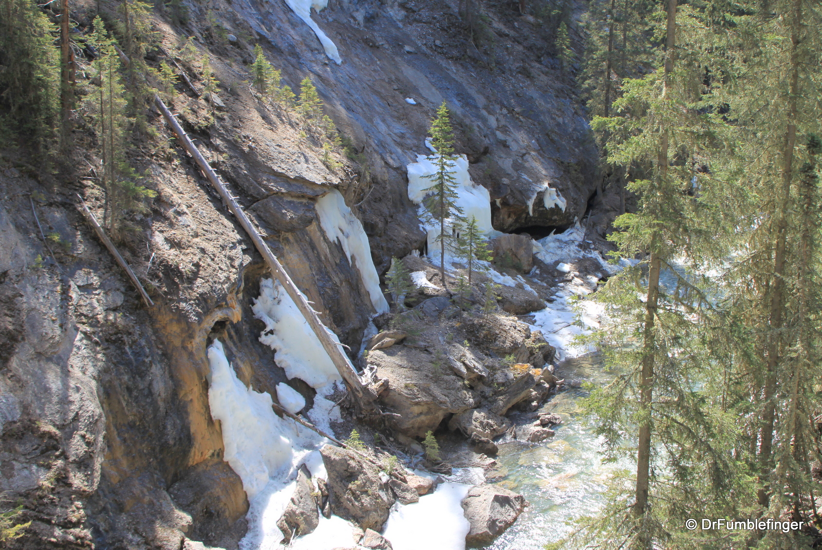
I’d hiked this trail twice before and recall it being very busy in the summer, so I decided to head out and reacquaint myself with it before the peak summer tourist season began. There was good and bad in this decision. The weather was good — nearly perfect, around 21 degrees C (72 F), it was sunny and pleasant with a light fresh breeze scented with water and pine. There was still a lot of snow on the upper mountains and some snow and ice left adjoining the Creek. But this was where the tricky part came in, because large parts of the higher trail had a ton of ice and snow on it, so the hike required great care not to slip and fall (that’s where my handy trekking poles became lifesavers).
Johnston Canyon is situated about 18 km (12 miles) northwest of Banff, just off the Trans-Canada Highway on the old and scenic Bow Valley Parkway. There are few roads that show the beauty of glacial sculpting better than this one. The road winds through the valley and one of the stops is at the Johnston Canyon trail’s parking lot.

Catwalk trail, Johnston Canyon
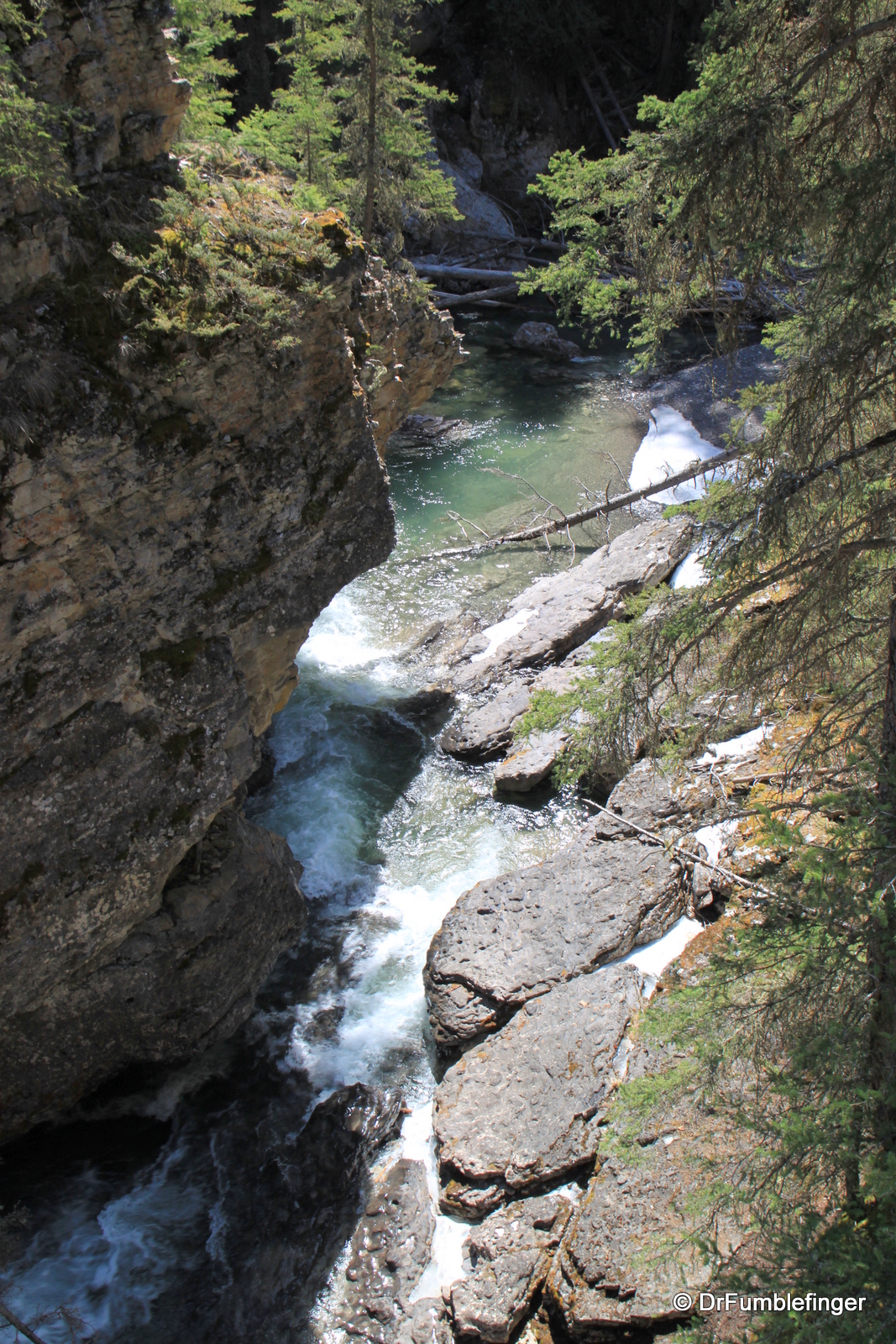
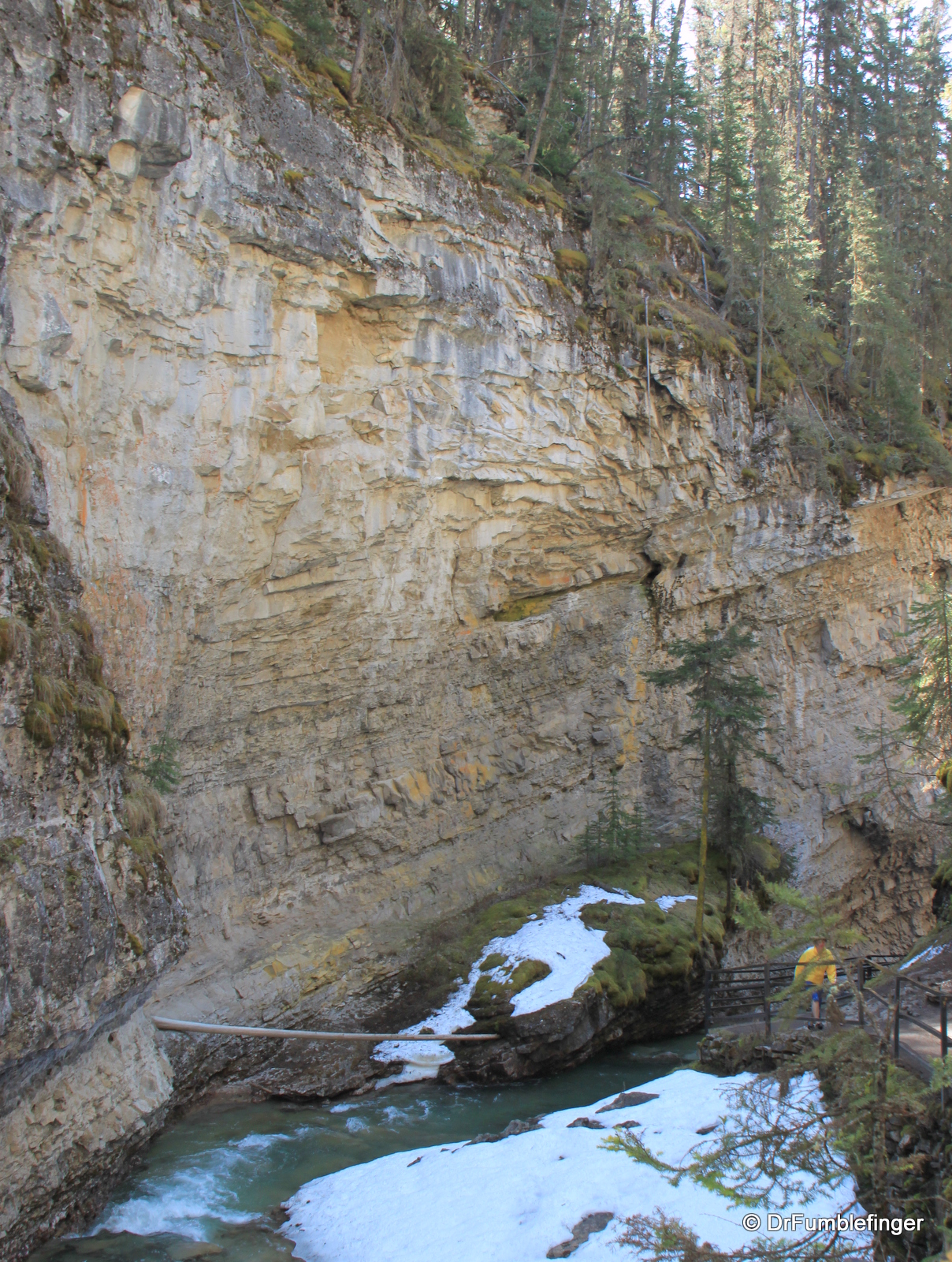
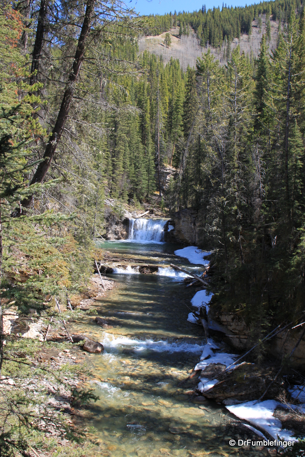
Johnston Canyon was named after one of the first prospectors who came to the canyon (although he did not find any mineral wealth here). The trail head is situated close to the Johnston Canyon Resort, a simple lodge by Rocky Mountain standards. The trail takes you into a fairly narrow canyon that has been carved by Johnston Creek over many millenia. The rush of the creek as it rapidly descends is the dominant noise you’ll hear but even in May there were a lot of noisy tourists. You’ll be lucky to hear birdsong, so busy is it, especially in the lower portions of the trail before Lower Falls.
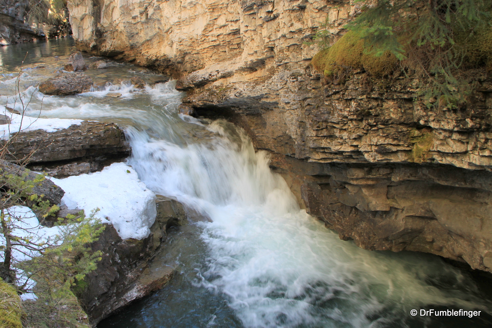
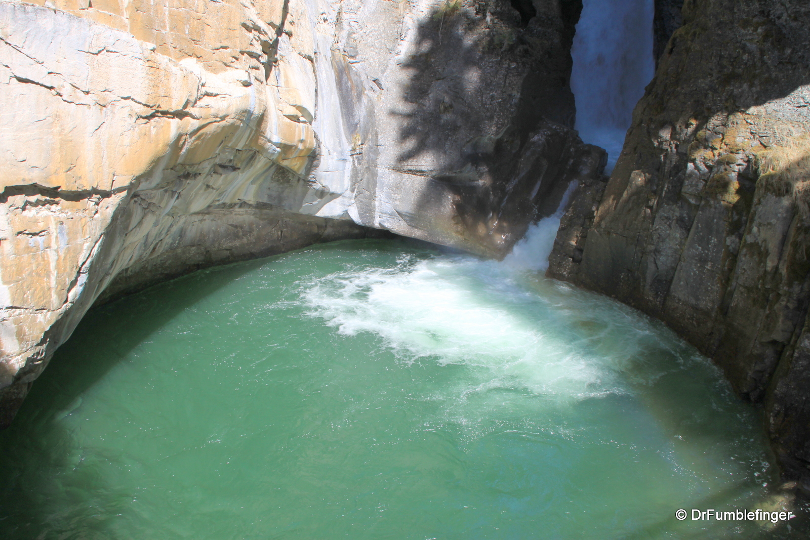
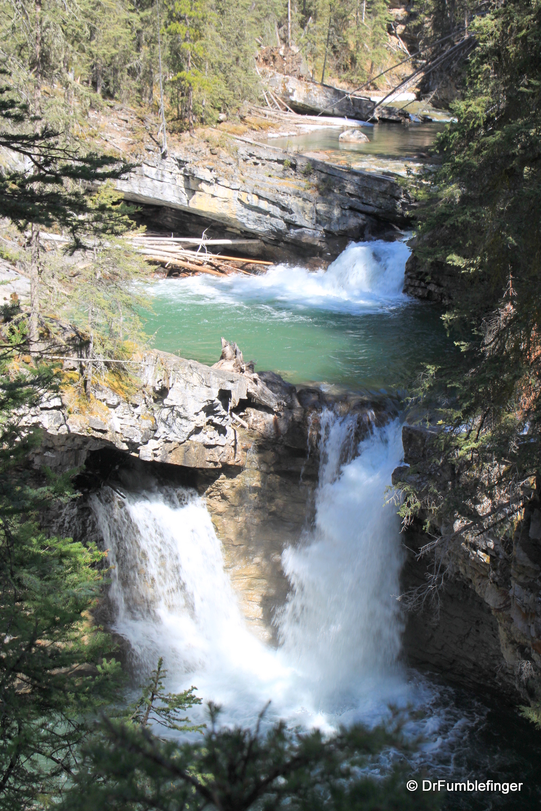
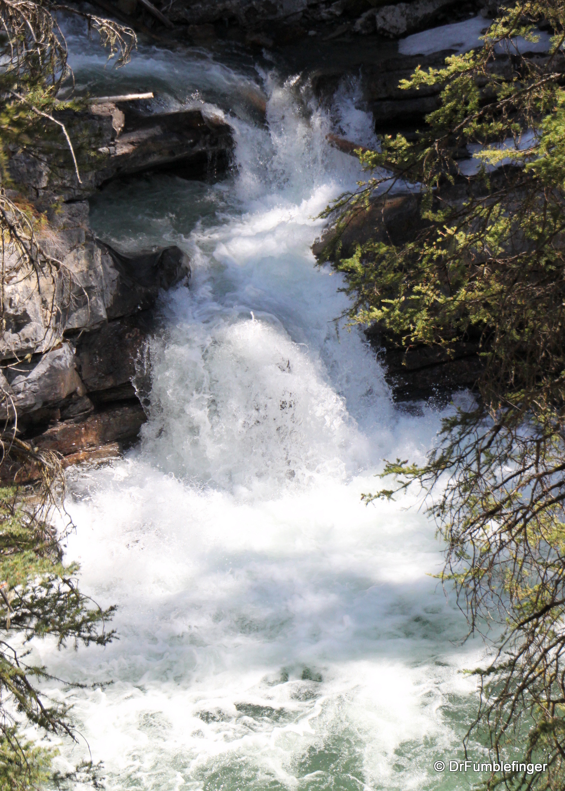
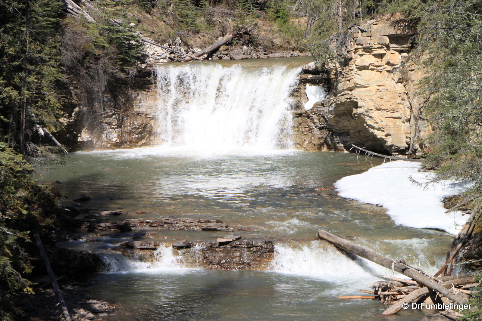
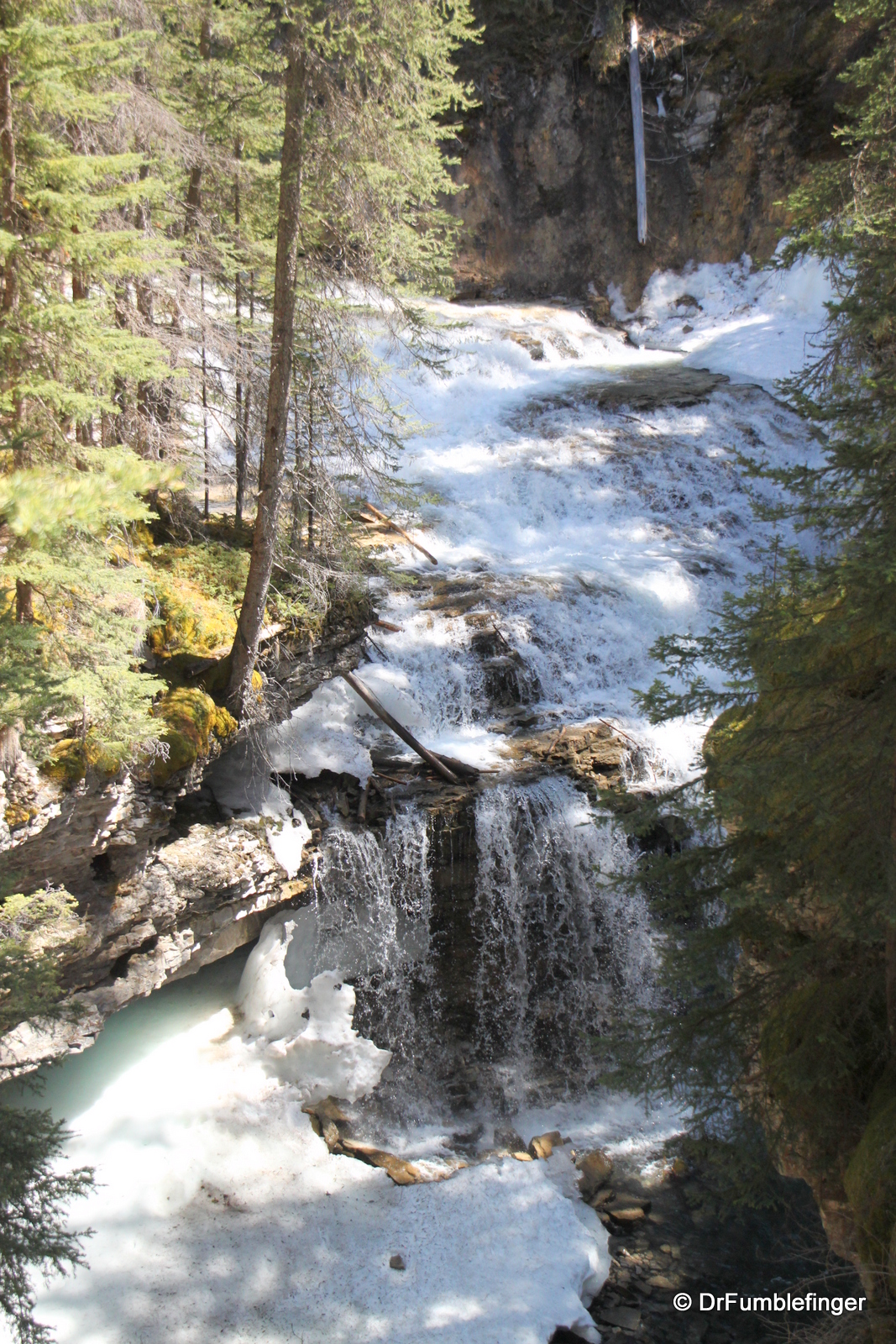
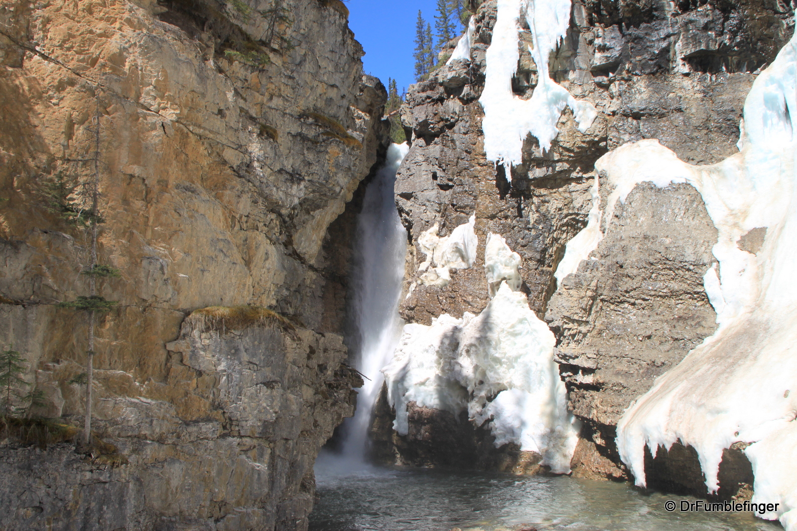
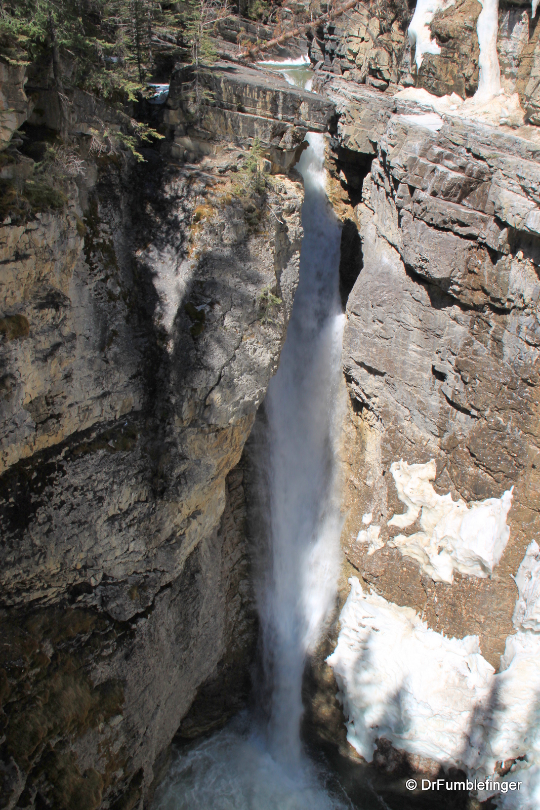
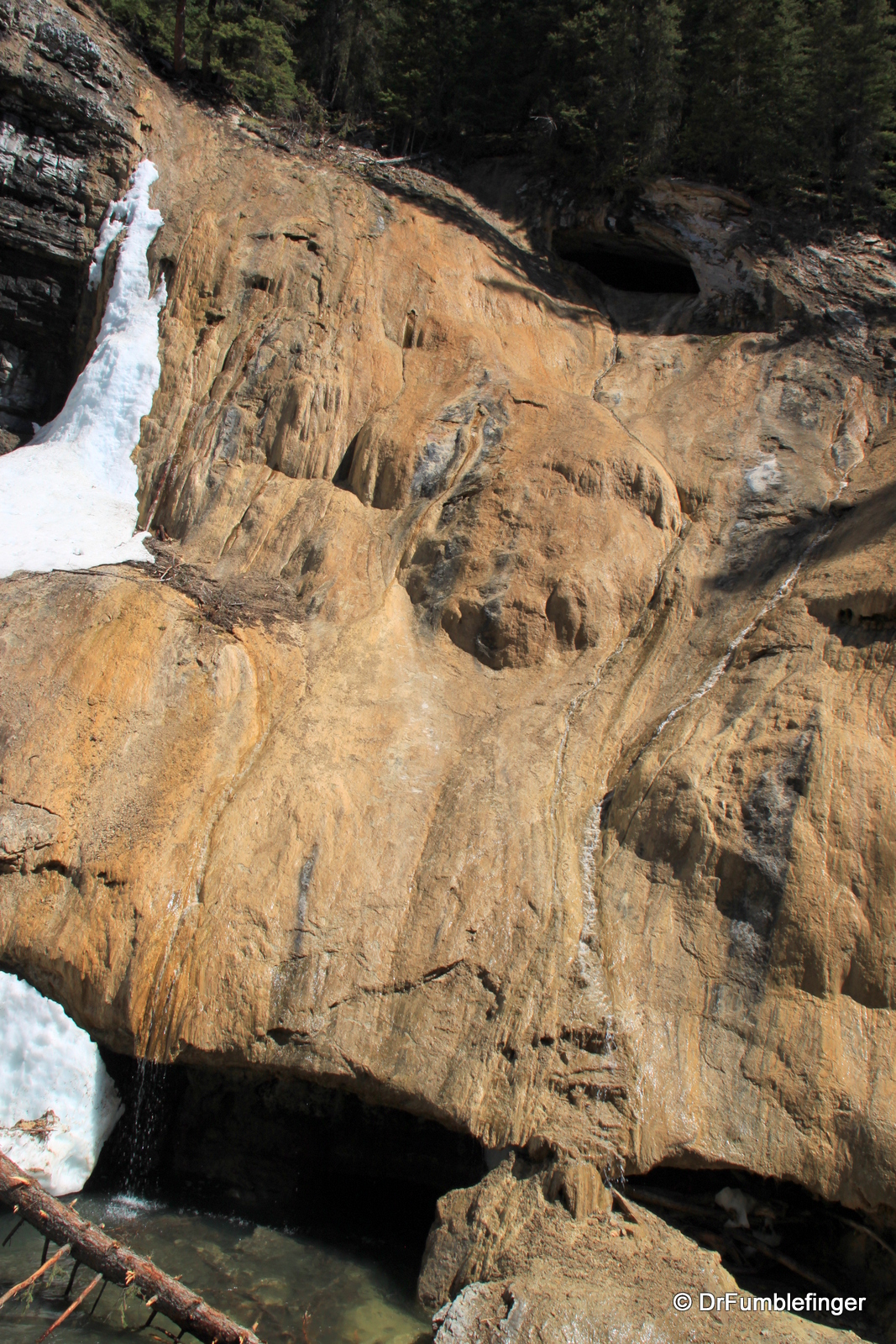
Johnston Creek descends the canyon in a series of dozens of waterfalls, two of which are especially notable. It’s only about a 20 minute easy walk on a paved trail to Lower Johnston Falls (10m, 33 feet drop), but you’ll have plenty of company including many baby strollers. Lower Falls is where the vast majority of people turn around and head back to their cars. But it’s well worth continuing, even though the trail becomes progressively more rugged and steeper so a good pair of hiking boots becomes essential. In another half hour you’ll pass the Upper Falls (30 m, 100 feet drop), taller and more scenic than the first and with better vantage points.

Inkpots and Rocky Mountain trails
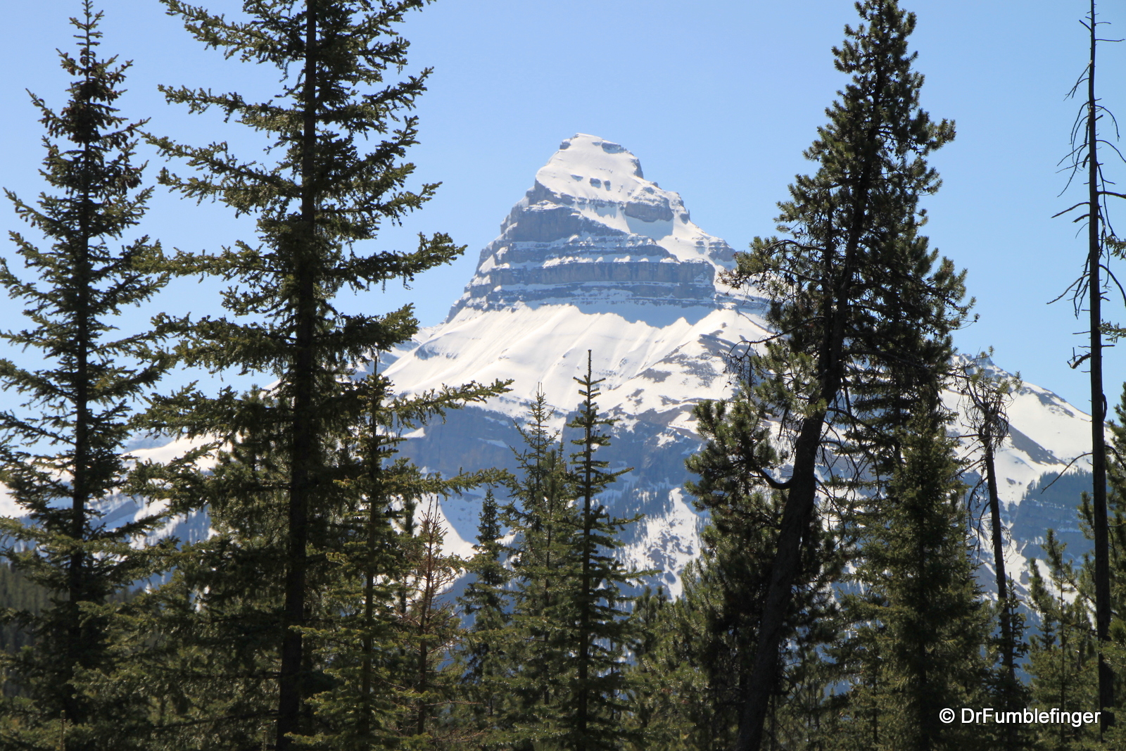
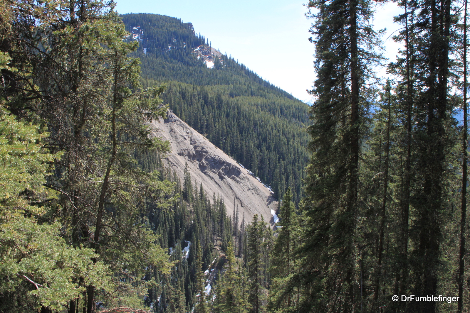
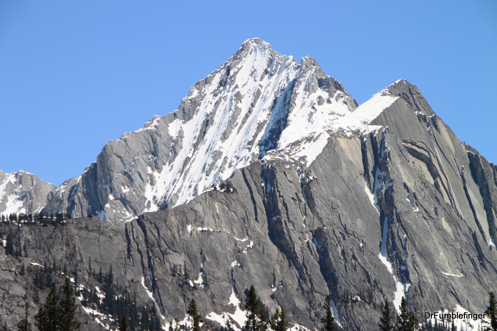
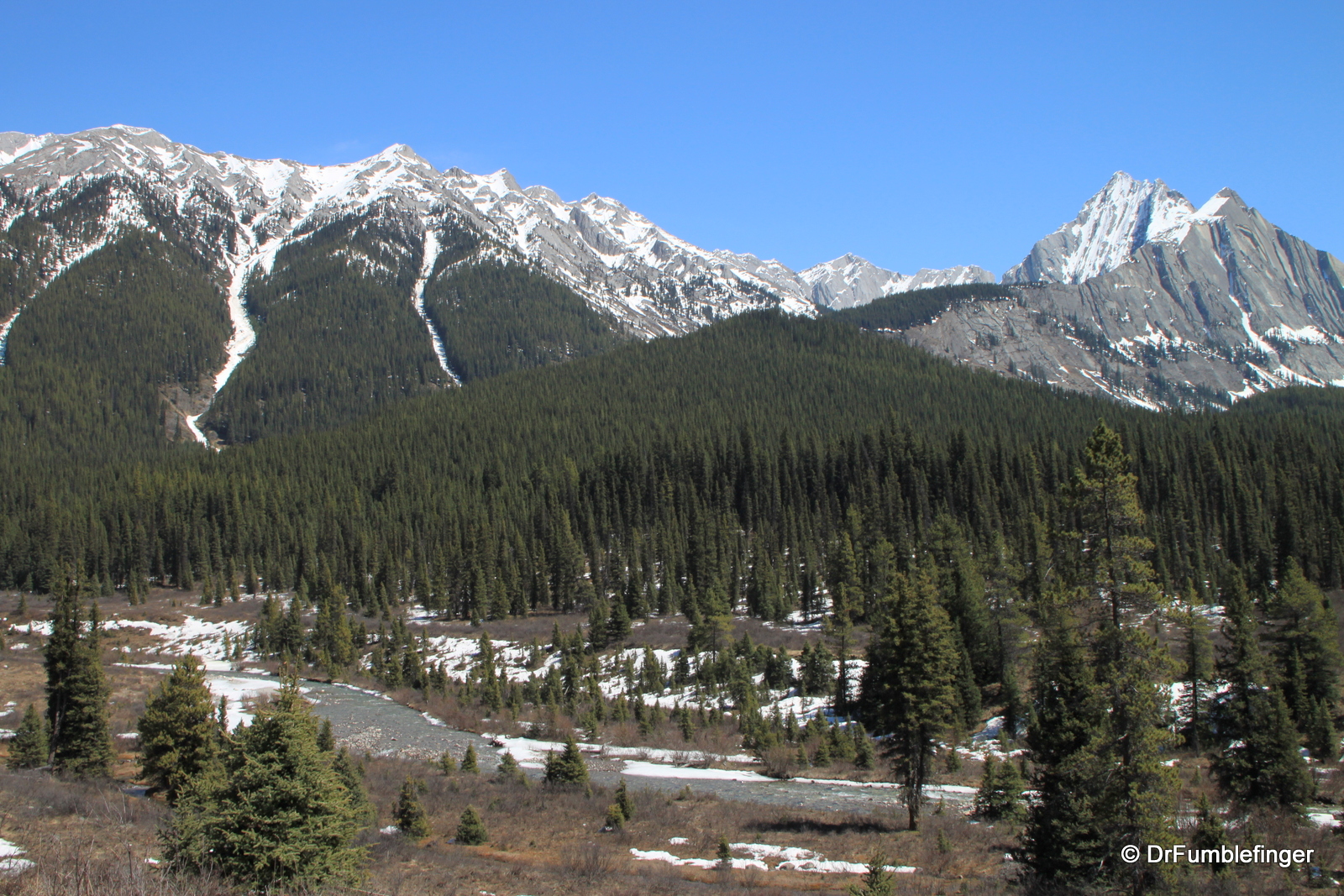
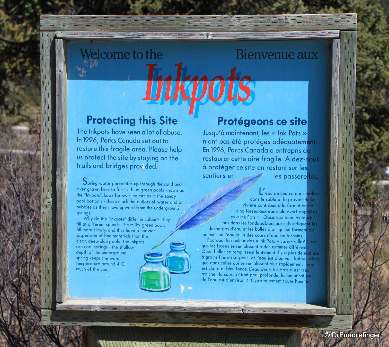
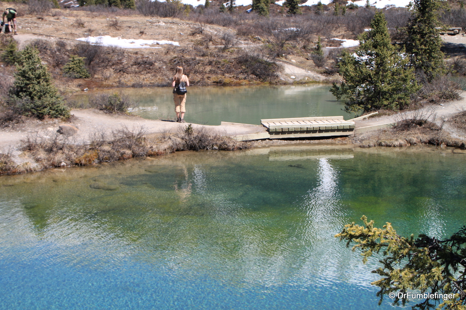
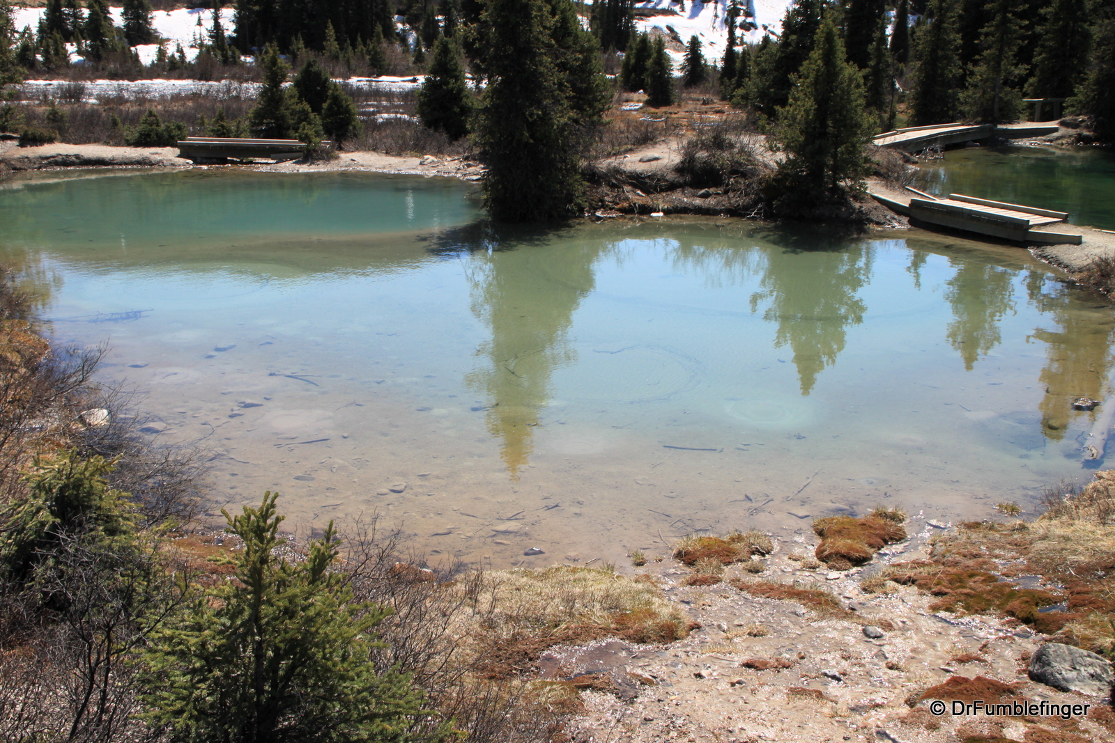
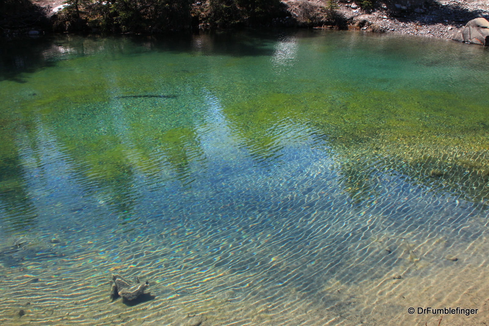
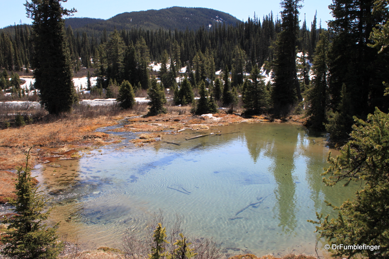
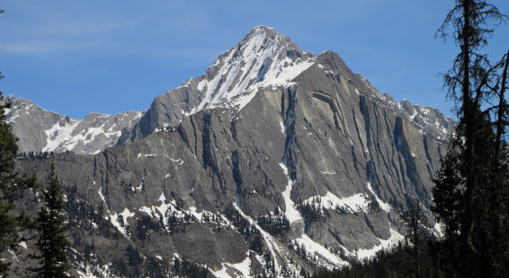
Once you’ve reached the Upper Falls, you’re about half way to the “Inkpots”. The trail continues on to the seven mineral springs situated in a sub-alpine mountain valley (Johnston Valley) which is very scenic. The “inkpots” are so named because their minerals having imparted vivid color to the water — which is icy cold (this is not a hot-spring and their base is said to be quicksand, so be forewarned!). When you’re at the Inkpots you have panoramic views of the Rockies and this is where I had lunch. The mountain views certainly made the walk worthwhile. You return to the trail-head by the same route.
The entire trail is around 12 km round-trip (about 8 miles) and you gain 215 meters (700 feet), though with much more up and down than this last number would imply. Overall I’d rate it a moderately challenging hike, especially with the ice and snow to deal with. I enjoyed the day but I enjoy most any nice day in the mountains; it will be sometime before I fight the crowds at Johnston Canyon to return again. I prefer to interface with the mountains on a more one-to-one basis that that’s just not possible on this busy path.
(Click on thumbnails to enlarge, right arrow to advance slideshow)

