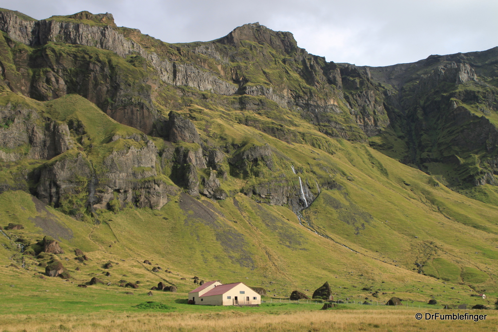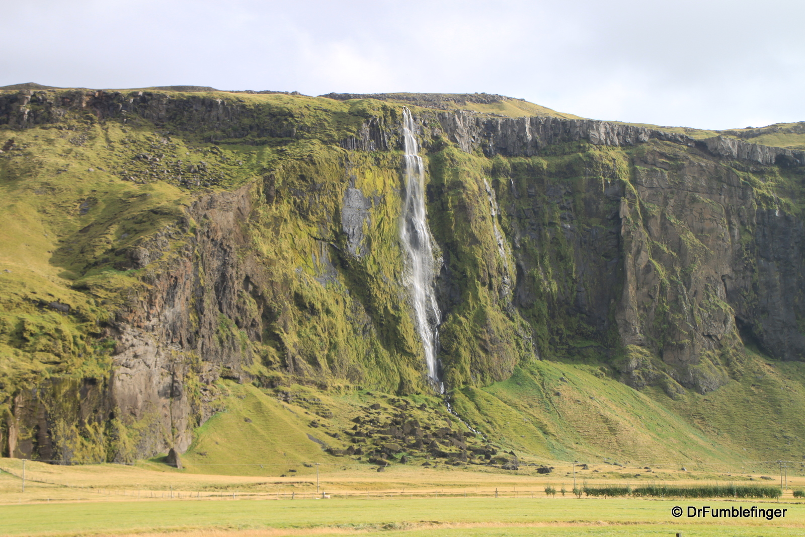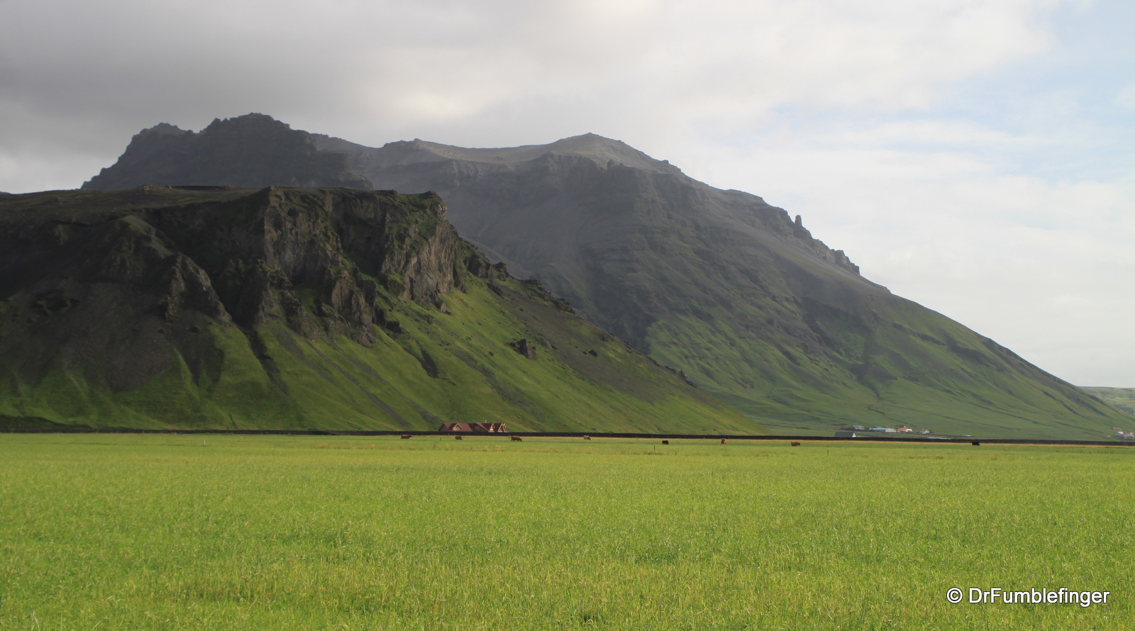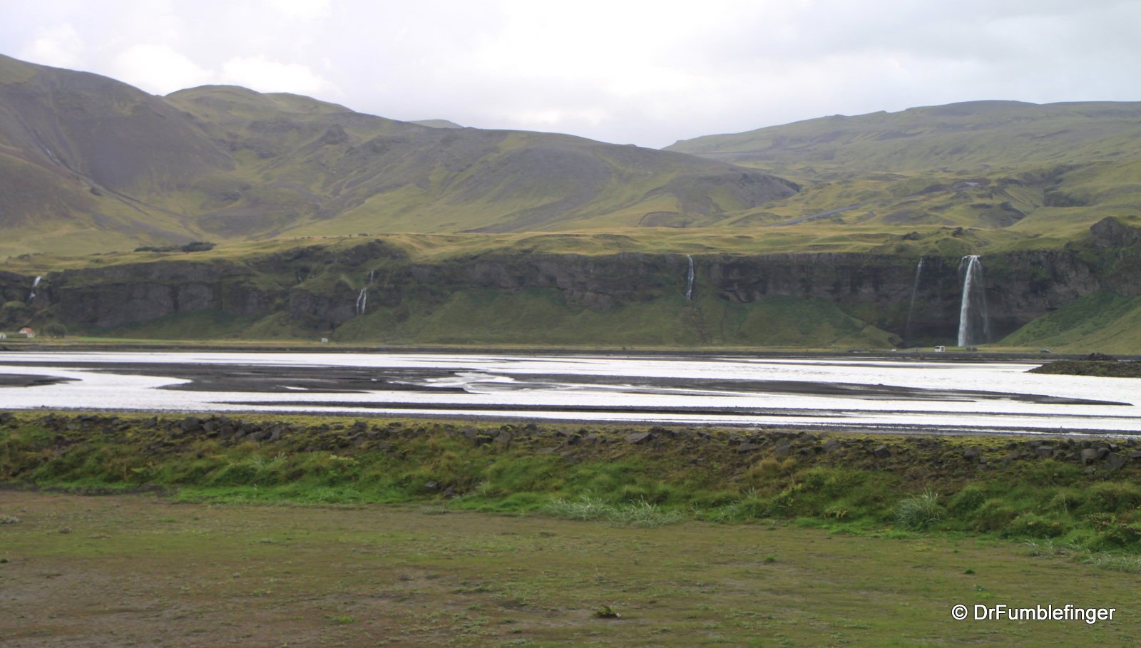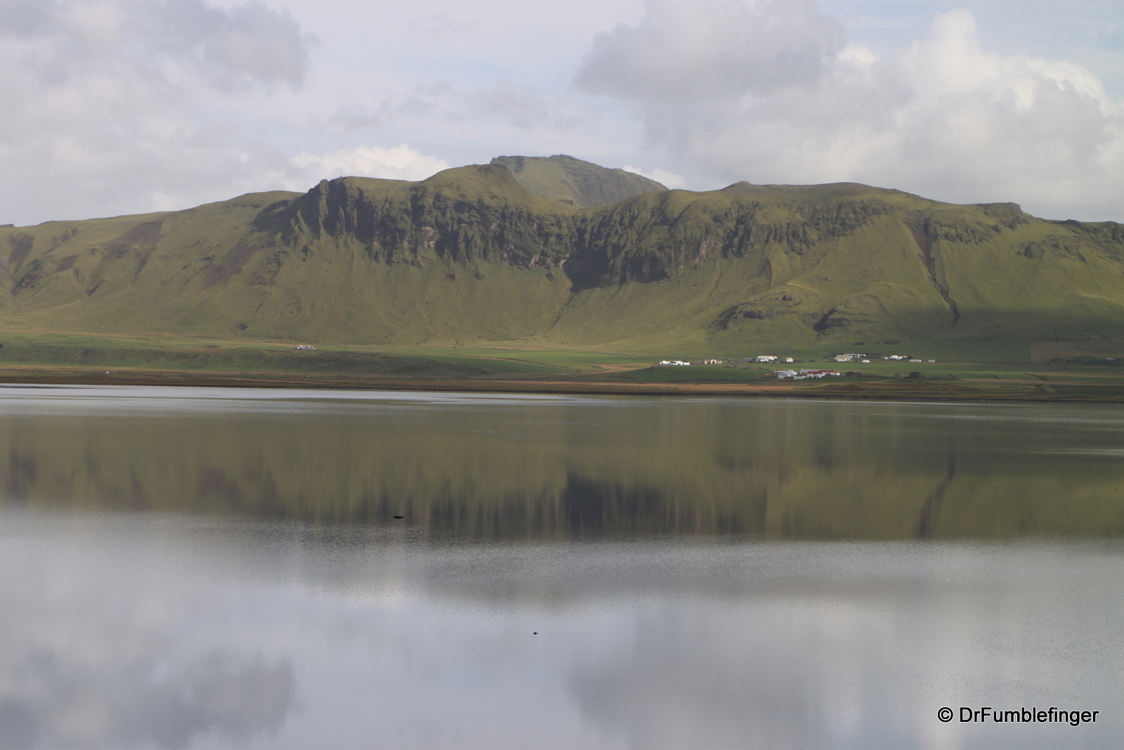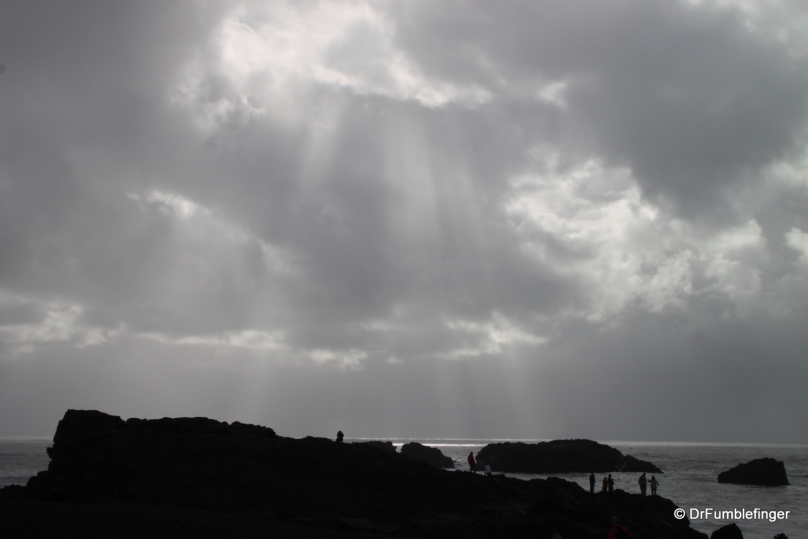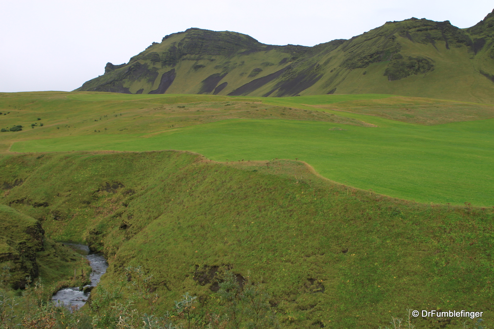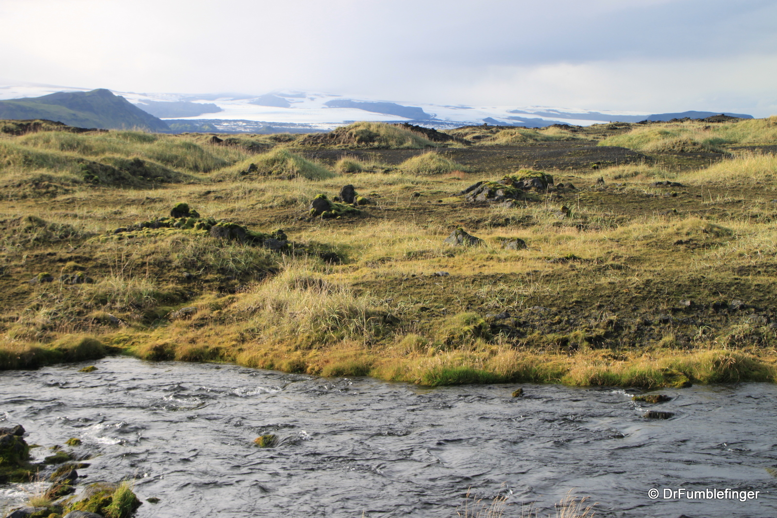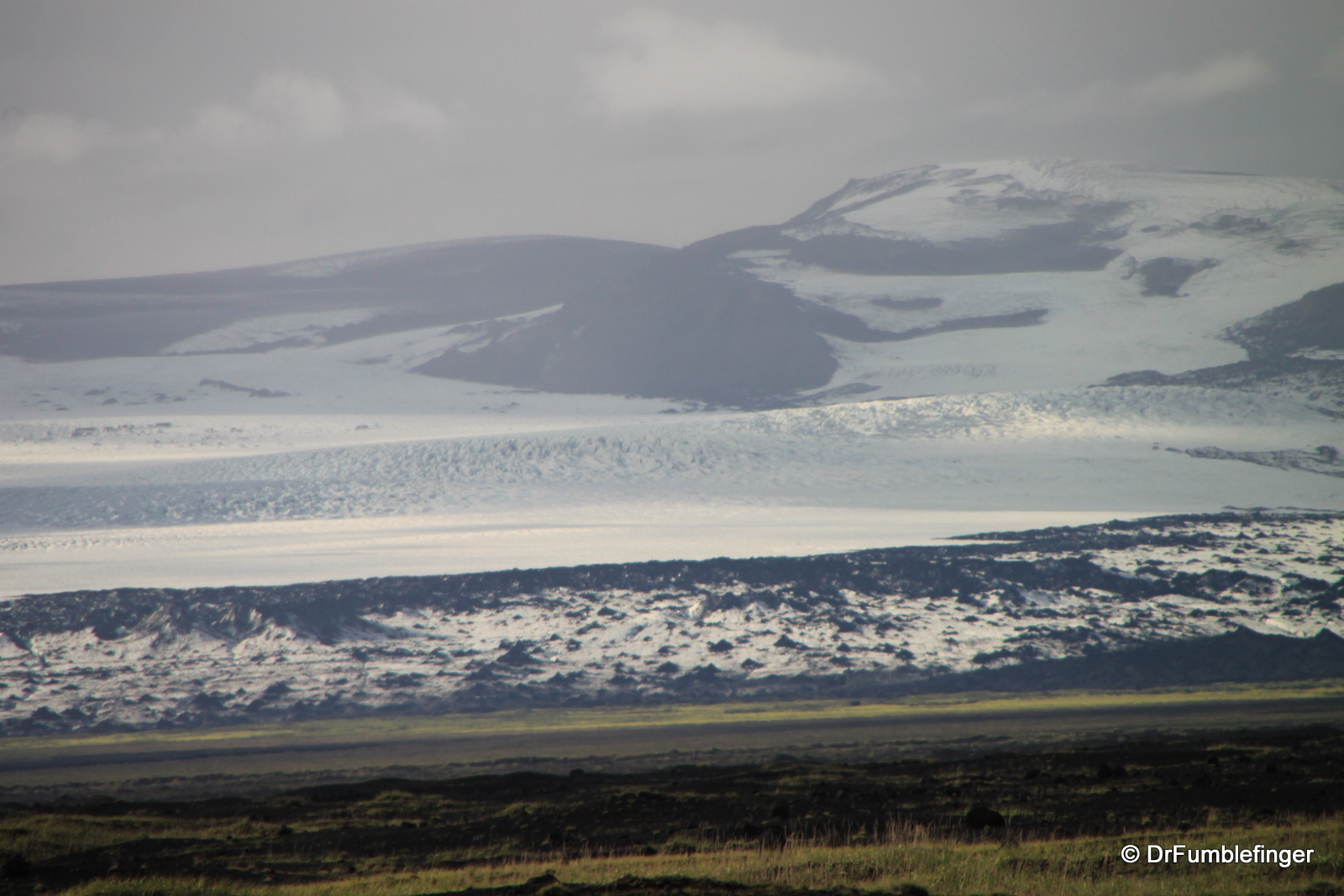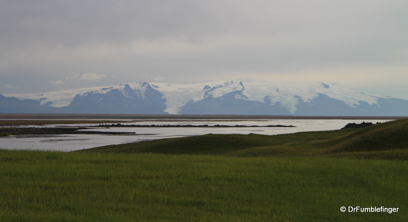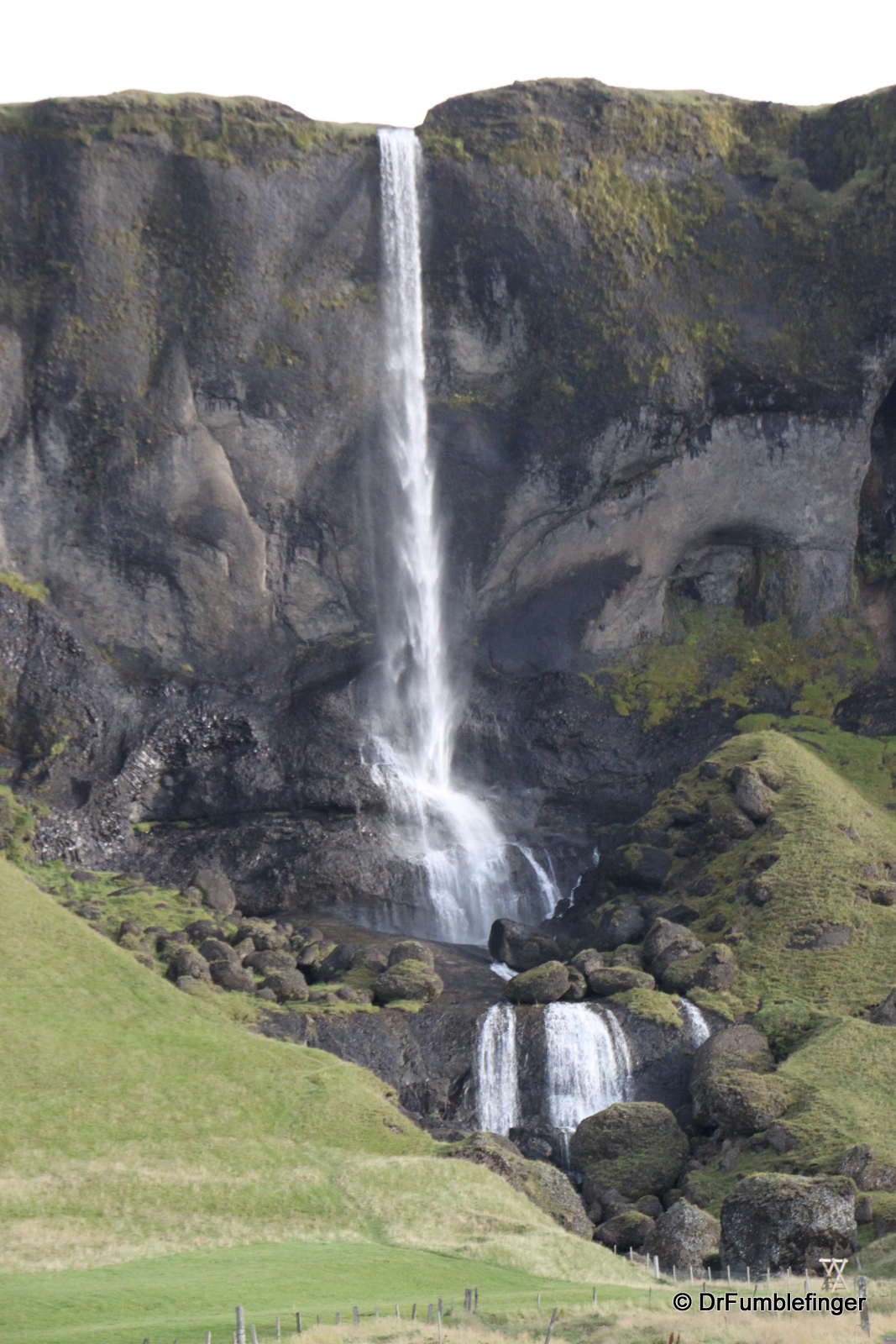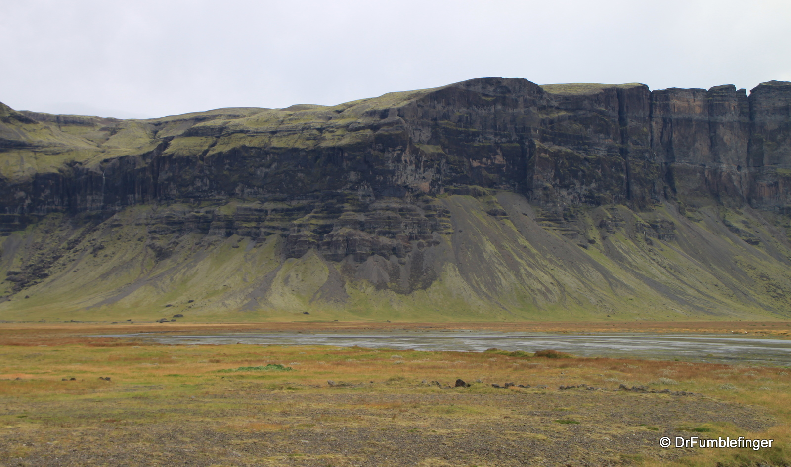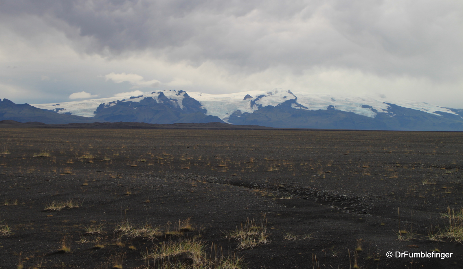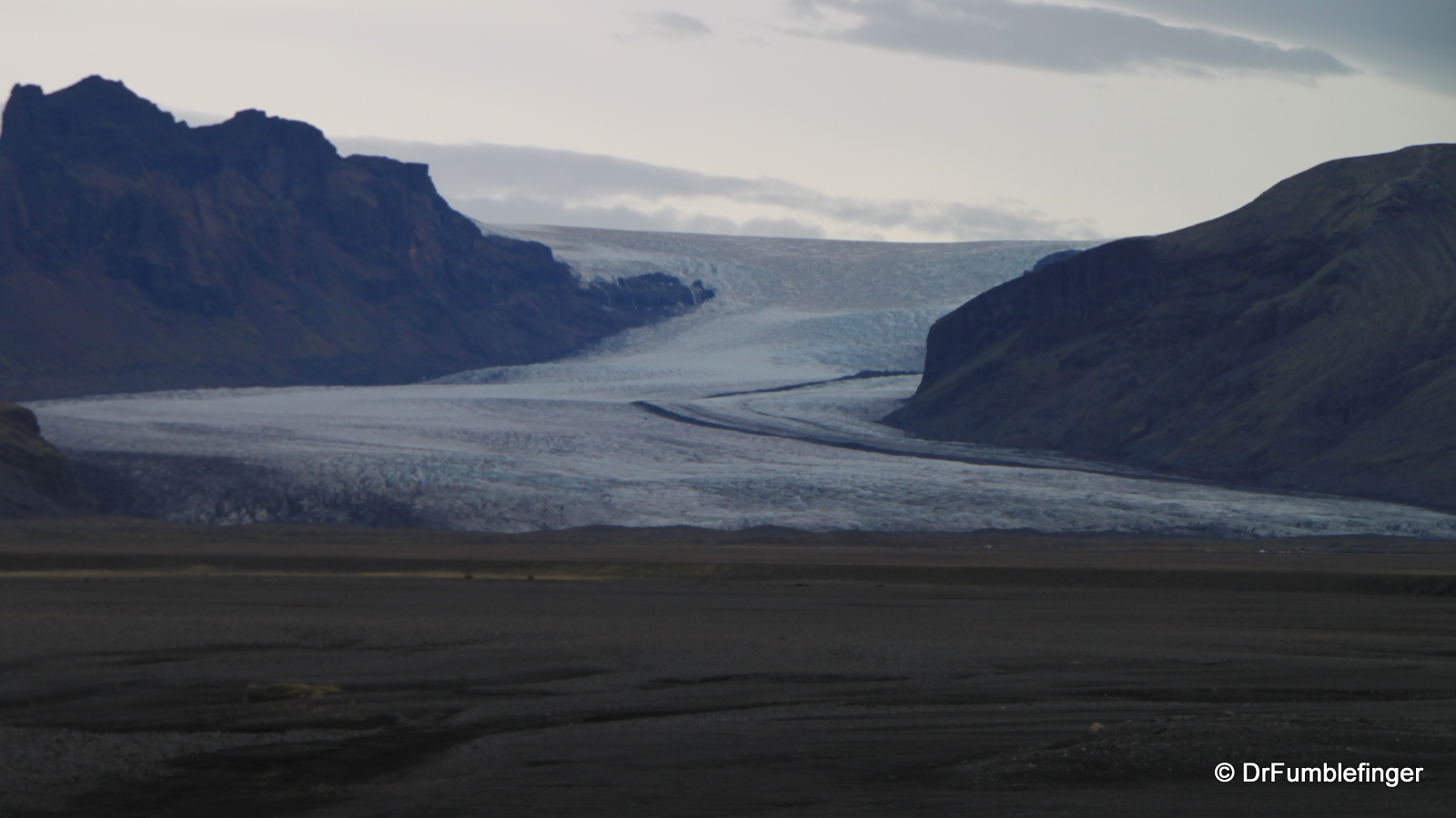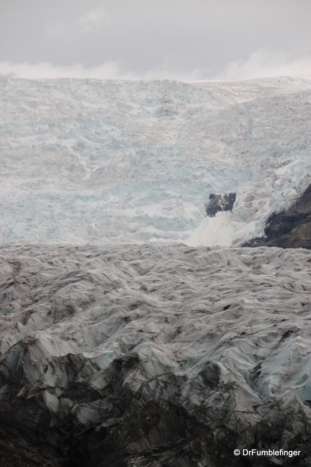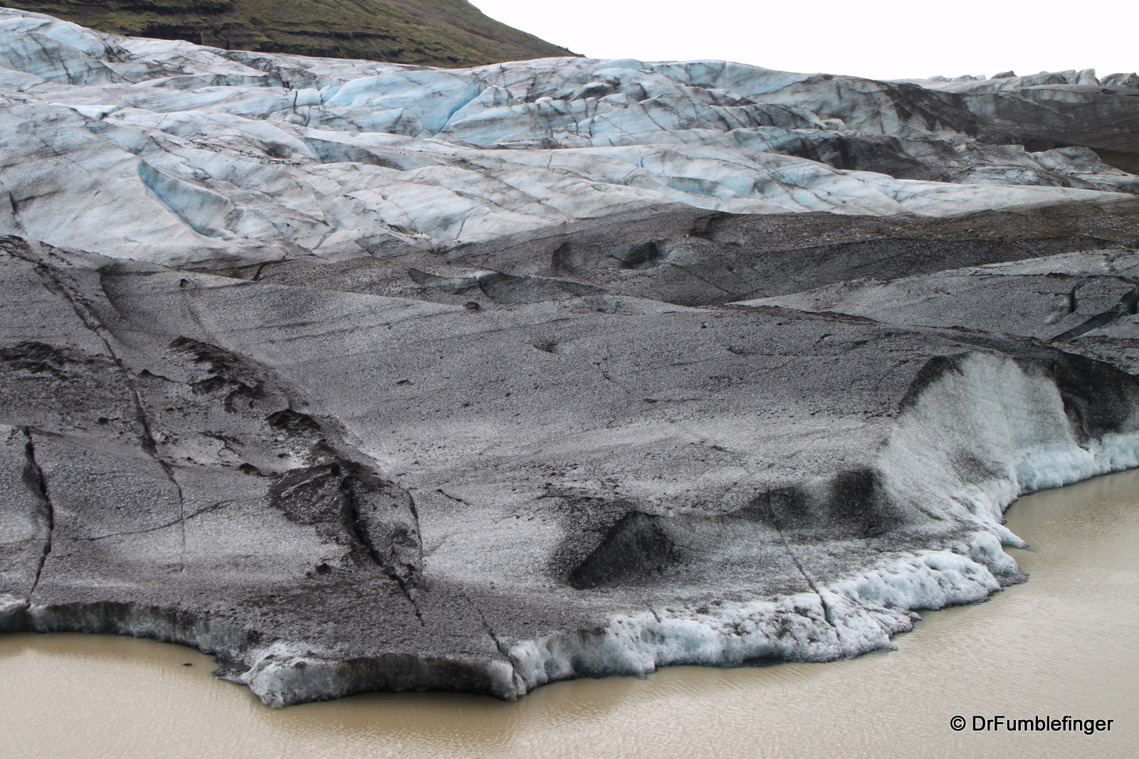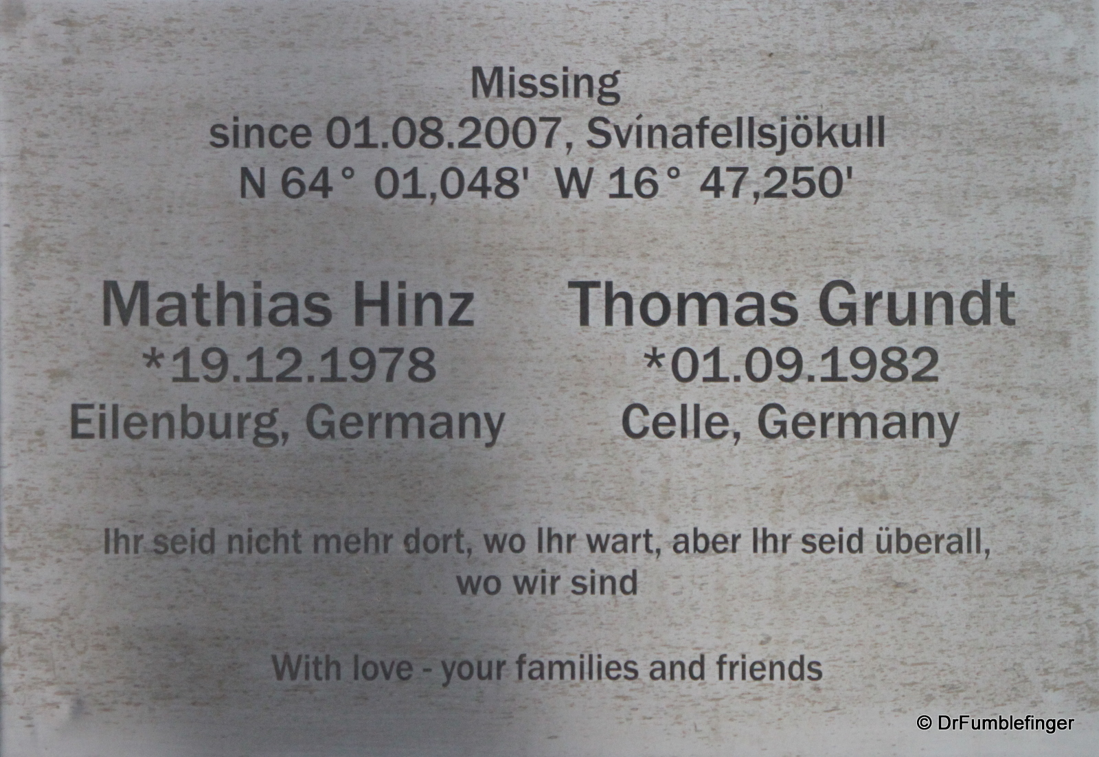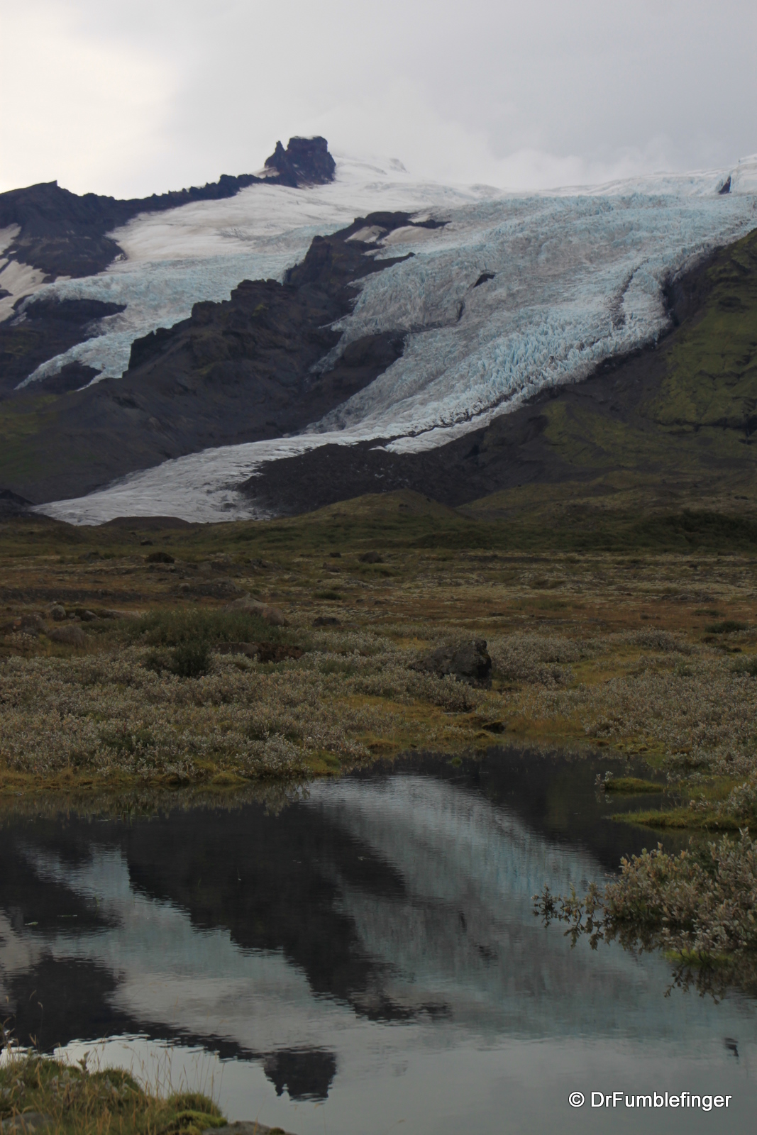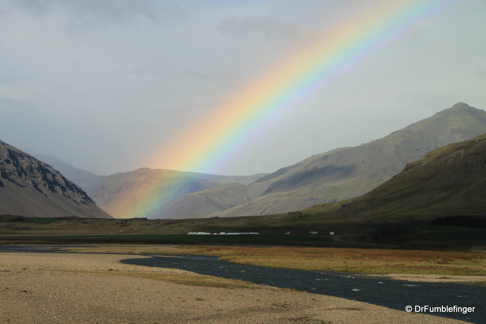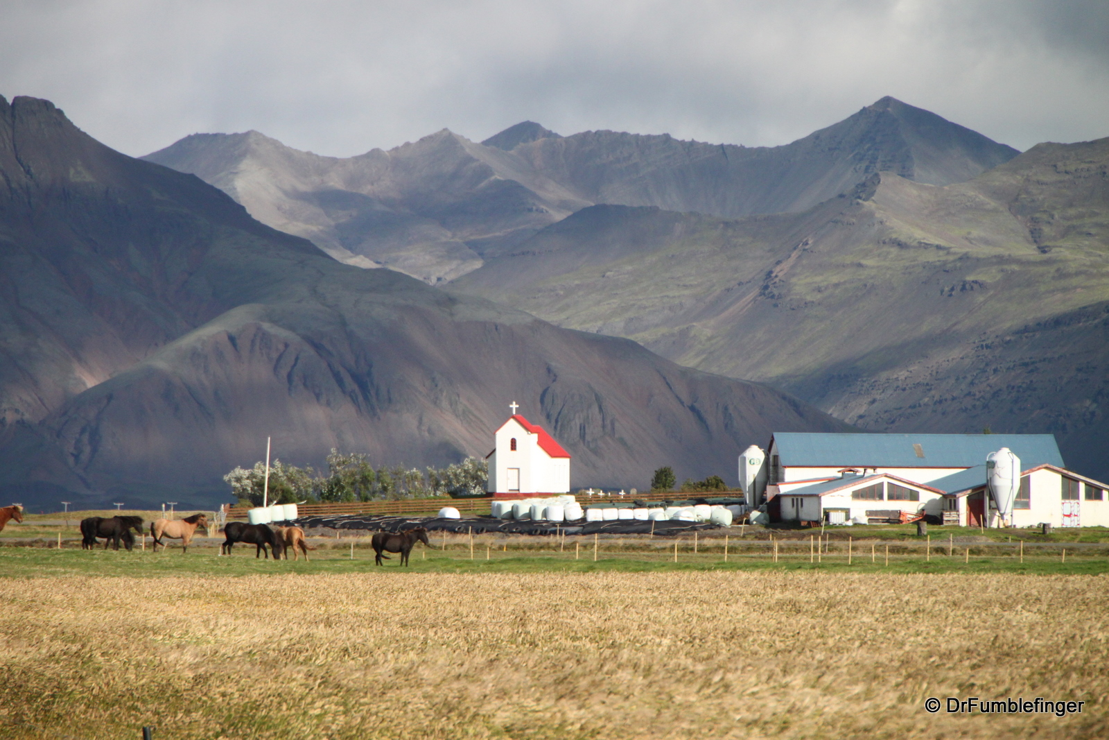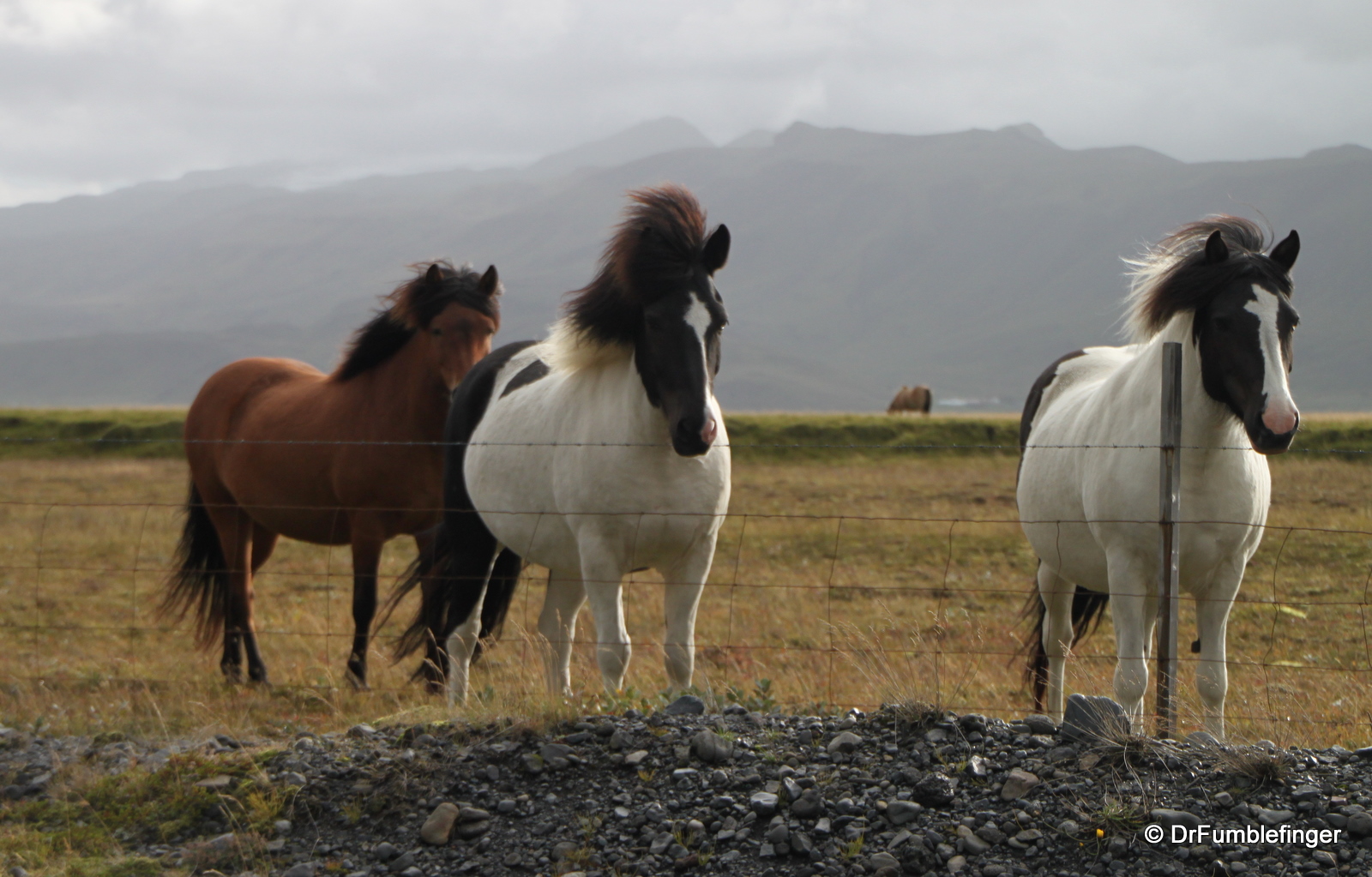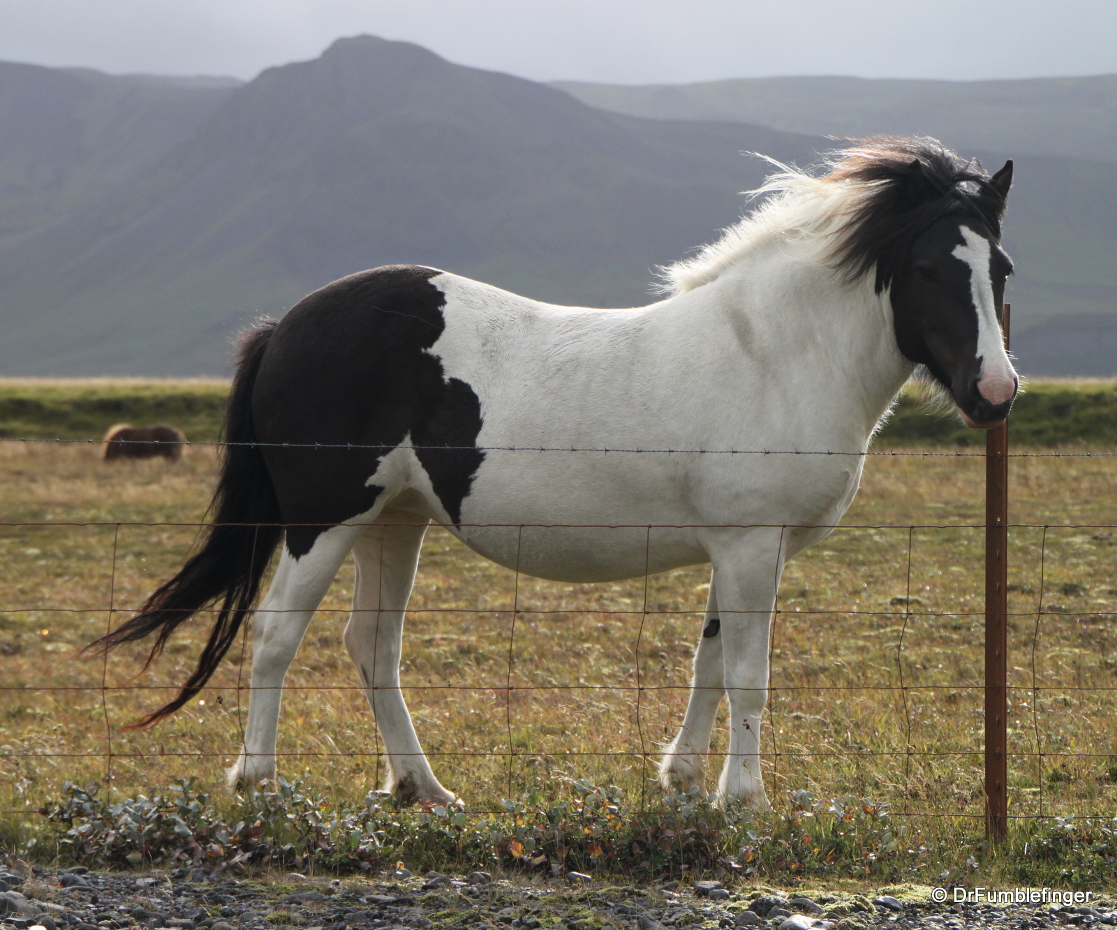
Many think South Iceland offers the island’s most spectacular scenery. It’s hard to argue with this except to say that we found all of Iceland to be filled with beautiful landscapes. South Iceland is remarkable for pretty farms in its western portion, rugged mountains, beautiful waterfalls, and the close proximity of several large glaciers (and a memorable glacial lagoon) in its eastern portion, all of which are easily accessible. Like the entire island, South Iceland offers a dramatic representation of the island’s volcanic history.
We drove the Ring Road in a counter clockwise fashion so the following commentary and associated photos are more-or-less based on what we saw and did in sequential fashion:
Kerid Crater: A large easily approachable volcanic caldera located just north of Selfoss. The colors inside the crater are vivid. It was from a raft at the small lake in the bottom of the crater that Icelandic singer Bjork performed a concert some years ago. You can walk around the rim of its crater and even carefully descend to the lake if you want.
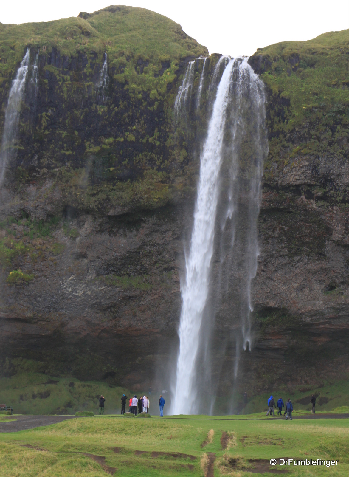
Seljalandsfoss: One of several waterfalls draining a high altitude plateau down the side of a cliff. Seljalandsfoss allows one the experience of walking behind (and getting drenched by) the waterfall — only to discover that the back of falling water looks just like the front.

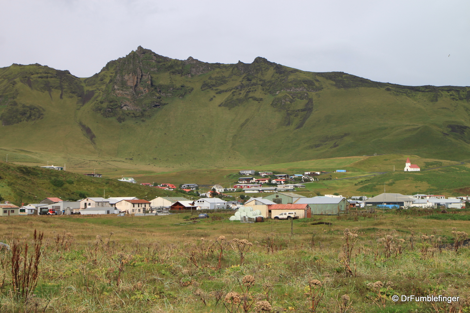
Farm scene, South Iceland
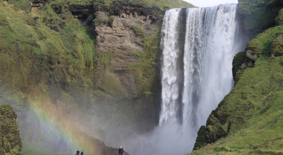
Skógafoss: Located in the pretty little town of Skogar this was my second favorite waterfall on the island, a classic fall dropping over 200 feet. A staircase leads to the top of the falls (and provides access to hiking trails on the plateau behind the waterfall). Skogar has a folk museum that is said to be the best in Iceland (e.g. has skate blades made of bone; a dog bowl made of a whale vertebrae), though we never had the chance to visit it. Skogafoss is easily seen from the Ring Road.
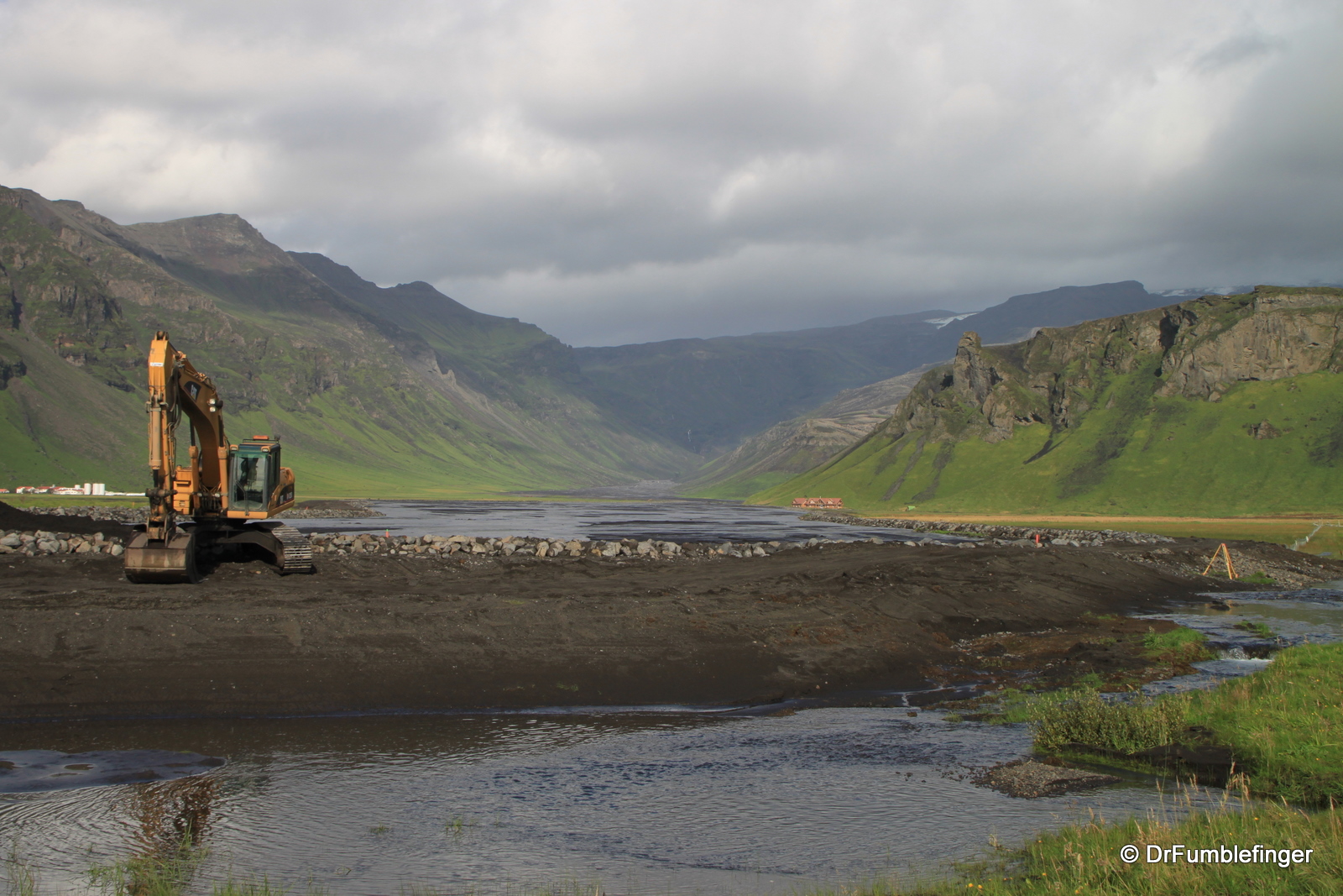
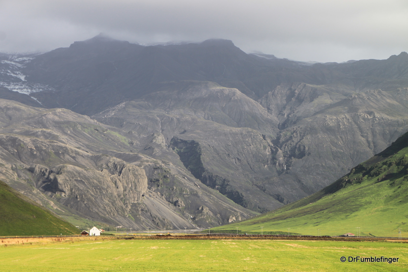
Eyjafjallajökull glacier: During the spring of 2010 a volcanic eruption started beneath the icecap of the Eyjafjallajökull glacier. A cloud of ash was carried high into the atmosphere and disturbed air traffic for weeks, including a near shutdown of flights in Europe for several days. Due to melting ice, rivers in the area were flooded and caused significant road damage (which has mostly been repaired). The volcano is again quiescent (at least for now) and was shrouded by clouds during our visit, but we could see evidence of its eruption in the flood damage and ash and lava on the mountain.
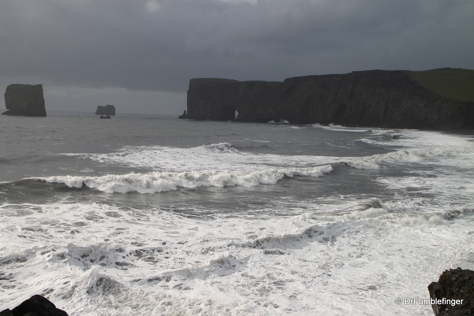
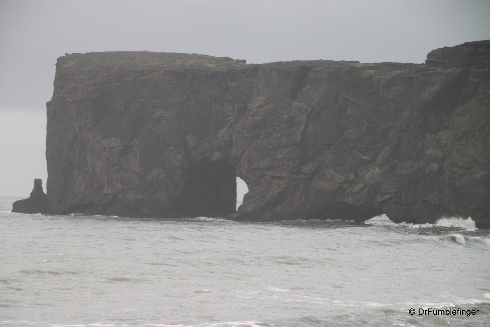
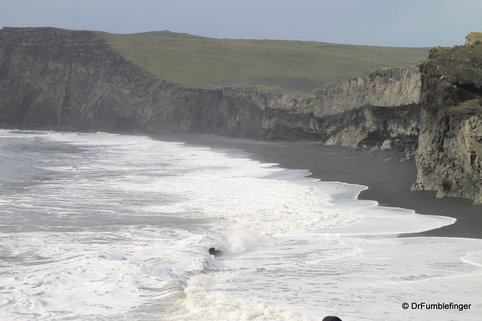
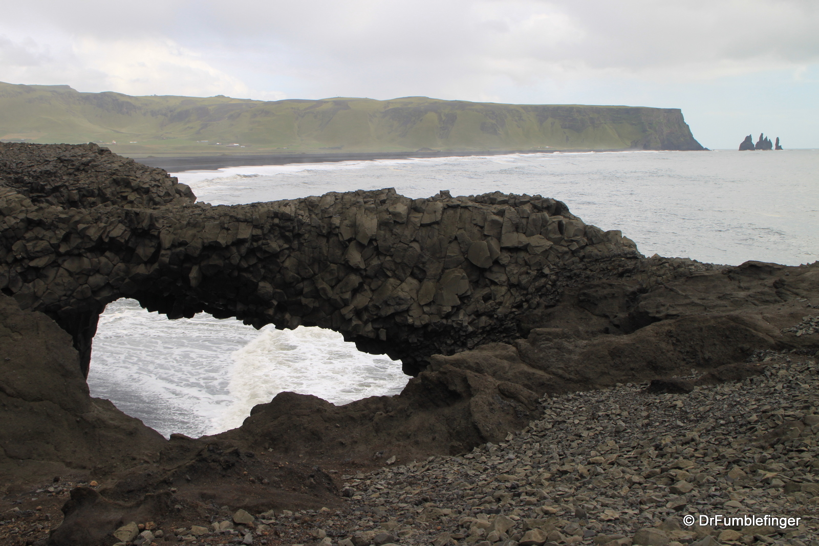
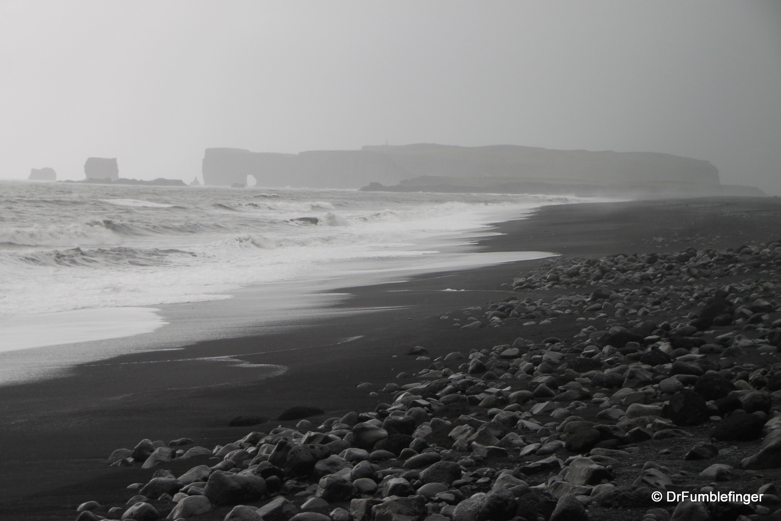
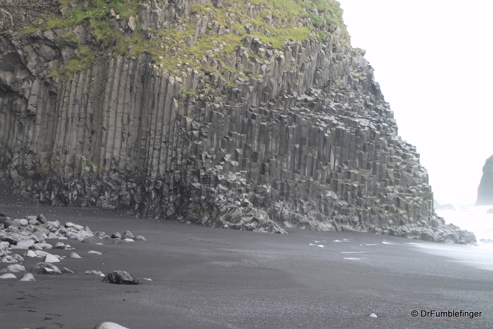
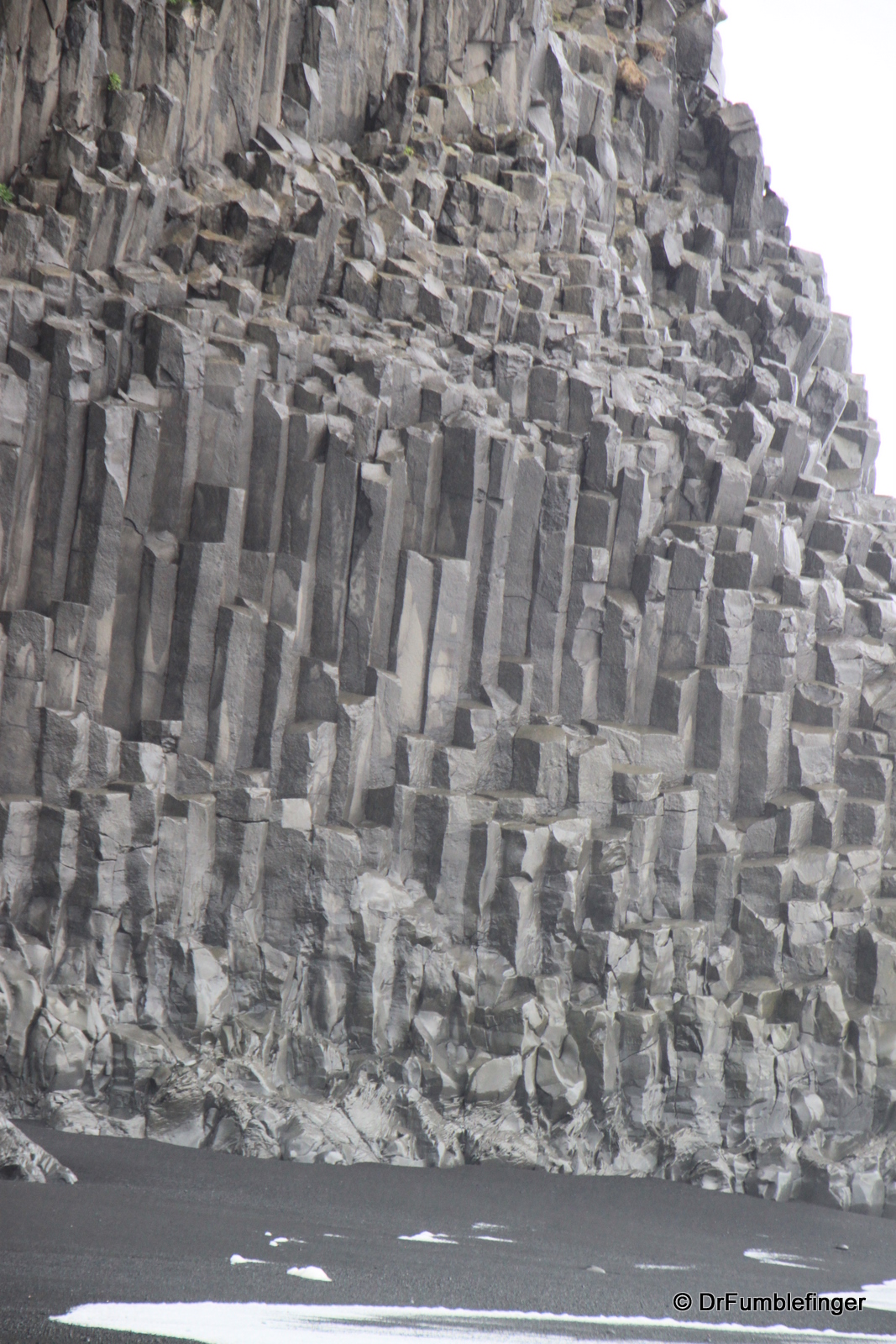
Dyrholaey is a great place for bird watchers as its cliffs are home to thousands of birds. It’s an island connected with the mainland through a small isthmus and is home to a large sea arch through which you can sail (rumor has it you can fly a small plane) through on a calm day. When windy the surf is powerful and very dangerous. Birdwatching tours are available. Just east of Dyrholaey is Reynisfjara beach, a black sand beach with with spectacular basalt and lava rock formations and thousands of nesting seabirds. It also has a sea cave than can only be entered at low tide (we were there at high tide and couldn’t explore it).

Rainbow over lagoon
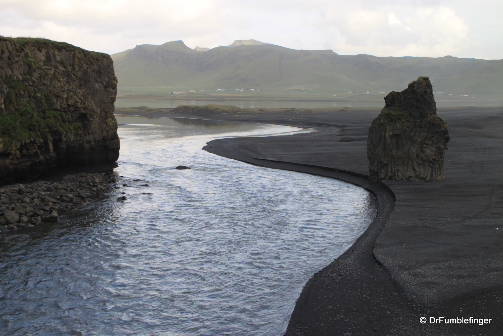
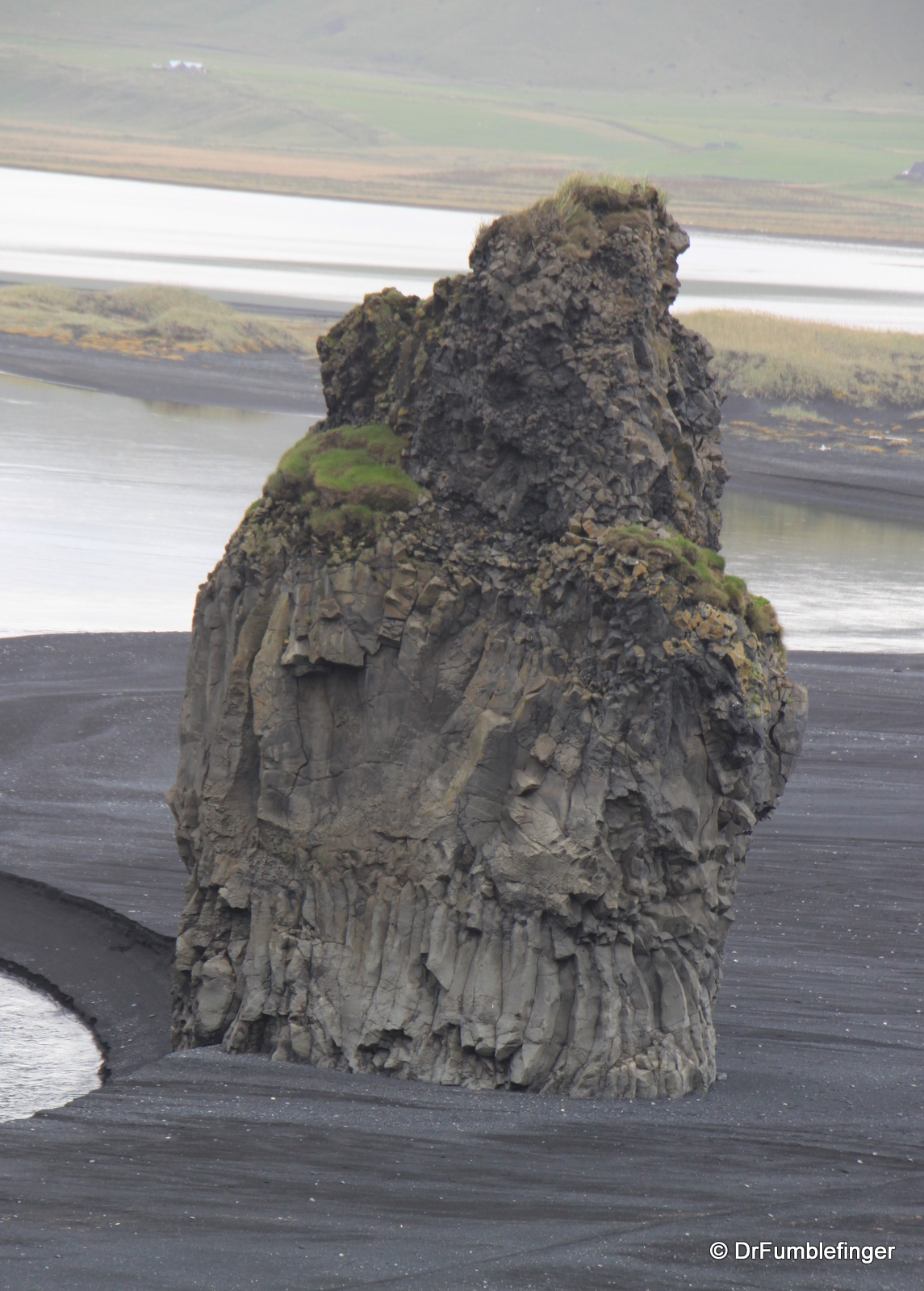
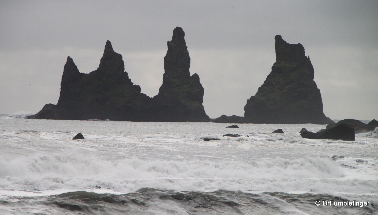
Vik is the southern most village in Iceland. It is well known for its large black sand beach which is perfect for a long beach walk; we spent an hour here and only encountered two other visitors on this large stretch of sand. The adjoining Reynisfjall sea cliffs are home to thousands of birds including many puffins. Just off the shore are three unusual rocks which legend declares are trolls turned to stone.
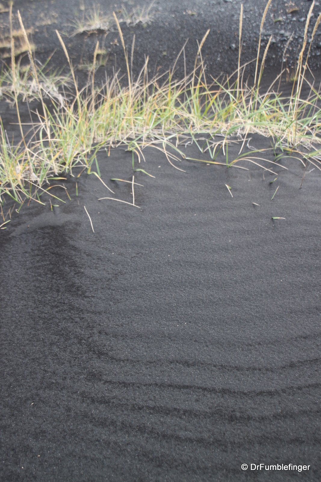
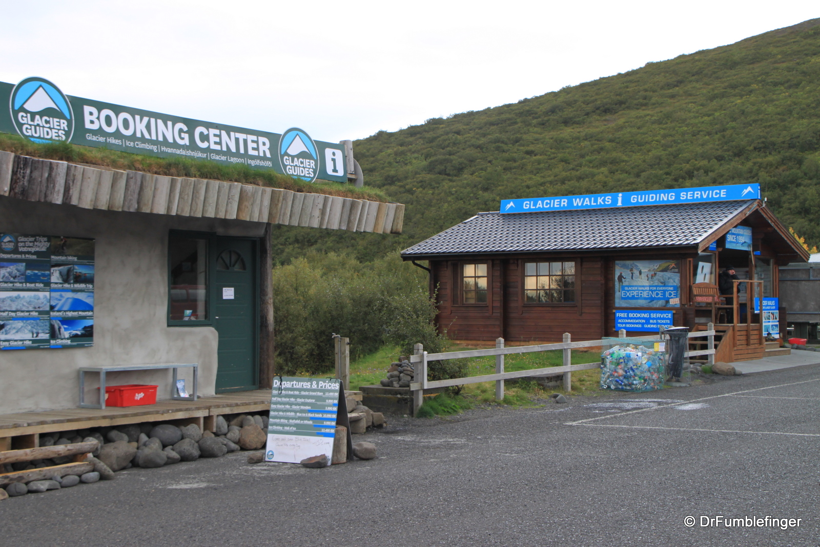
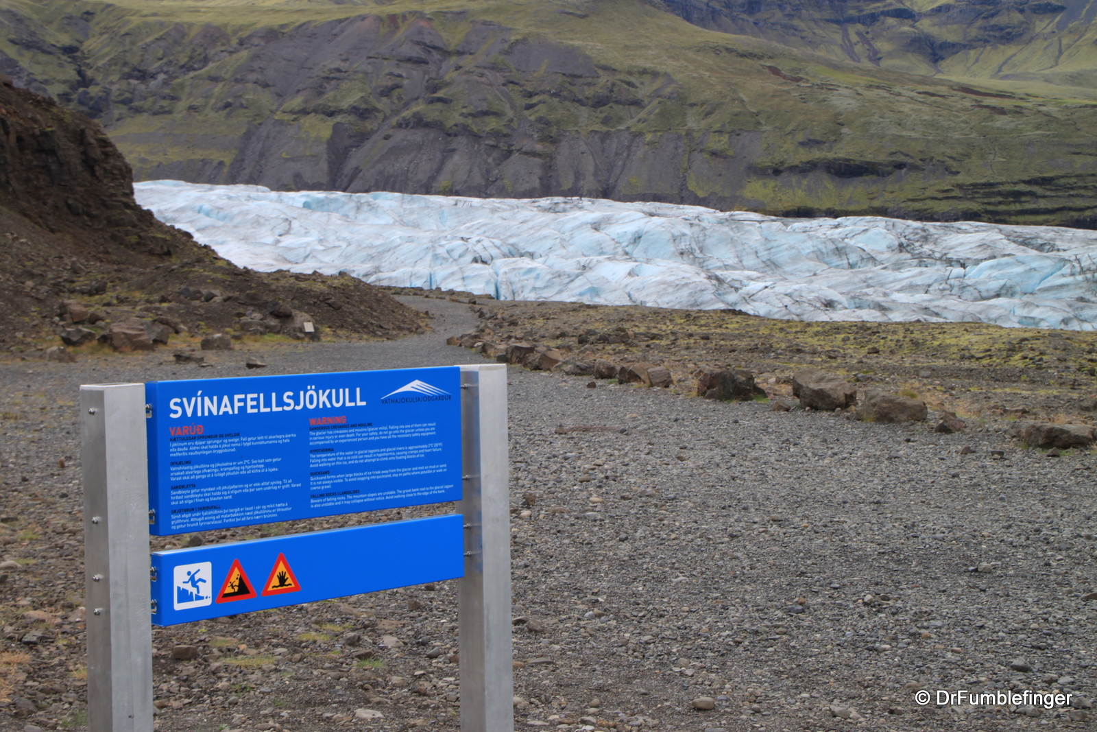
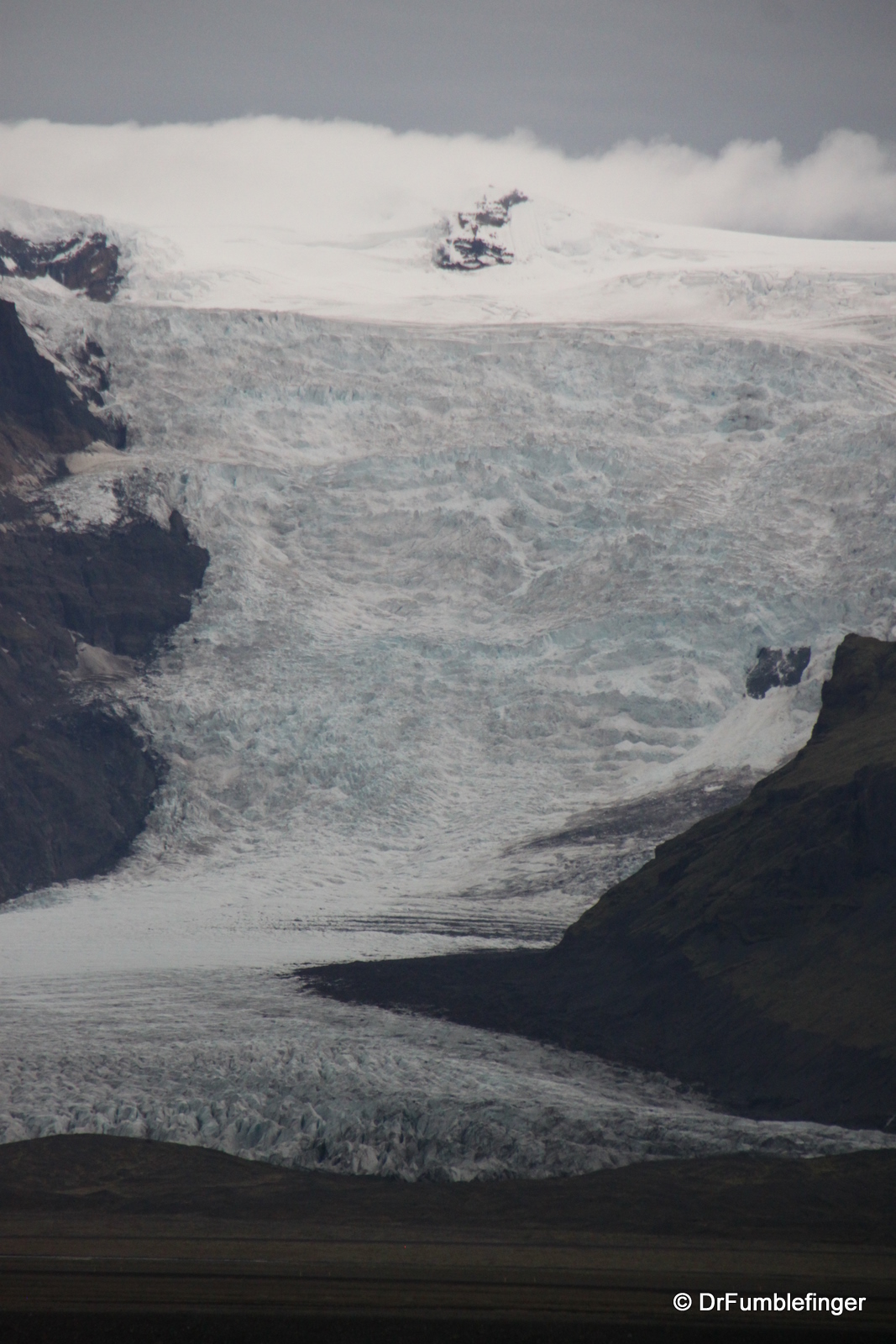
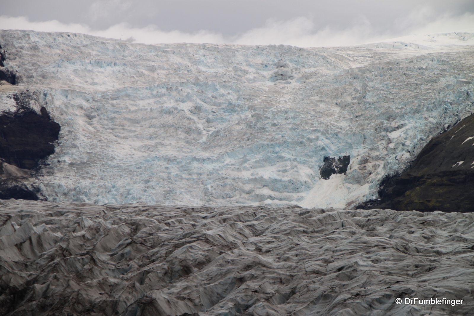
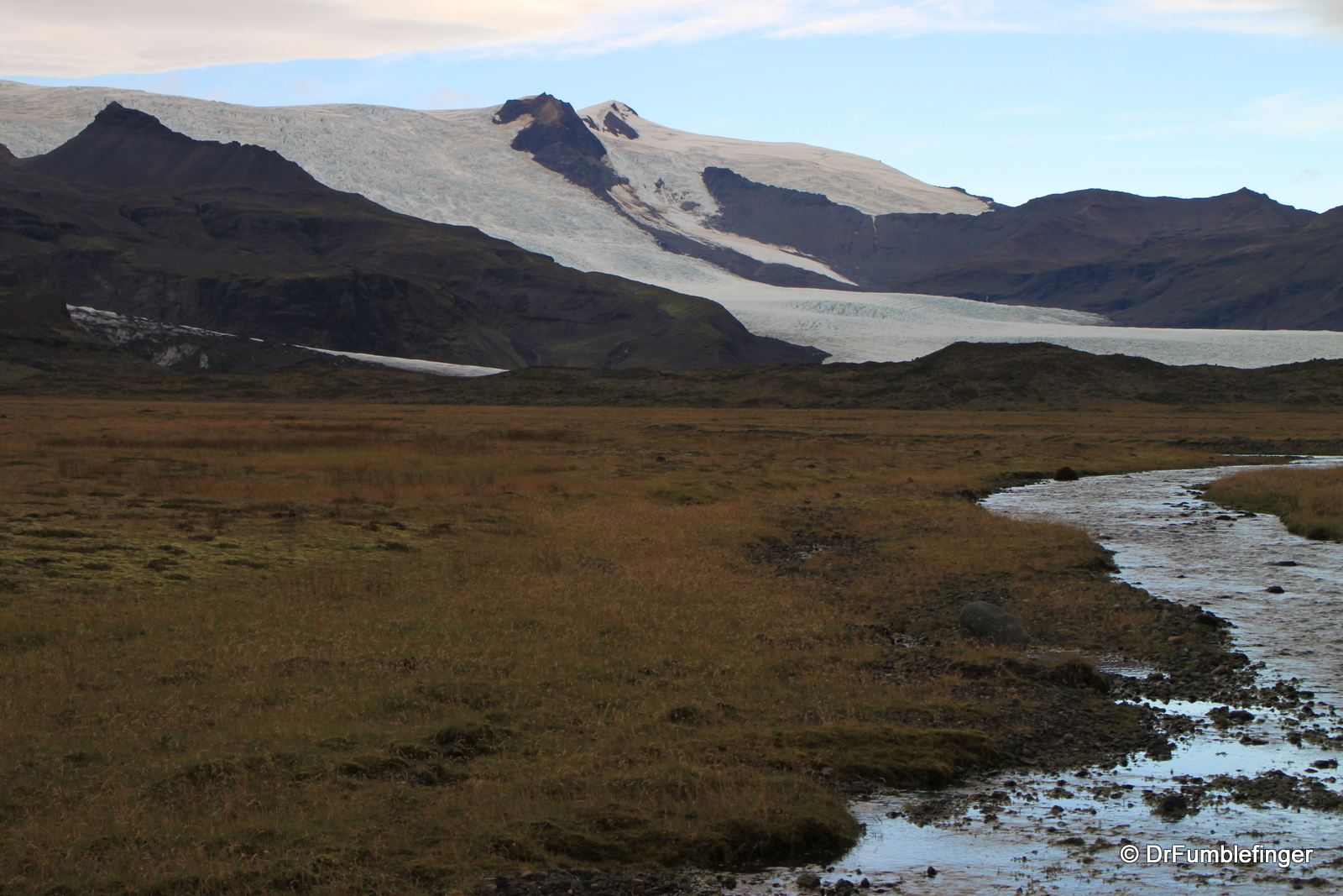
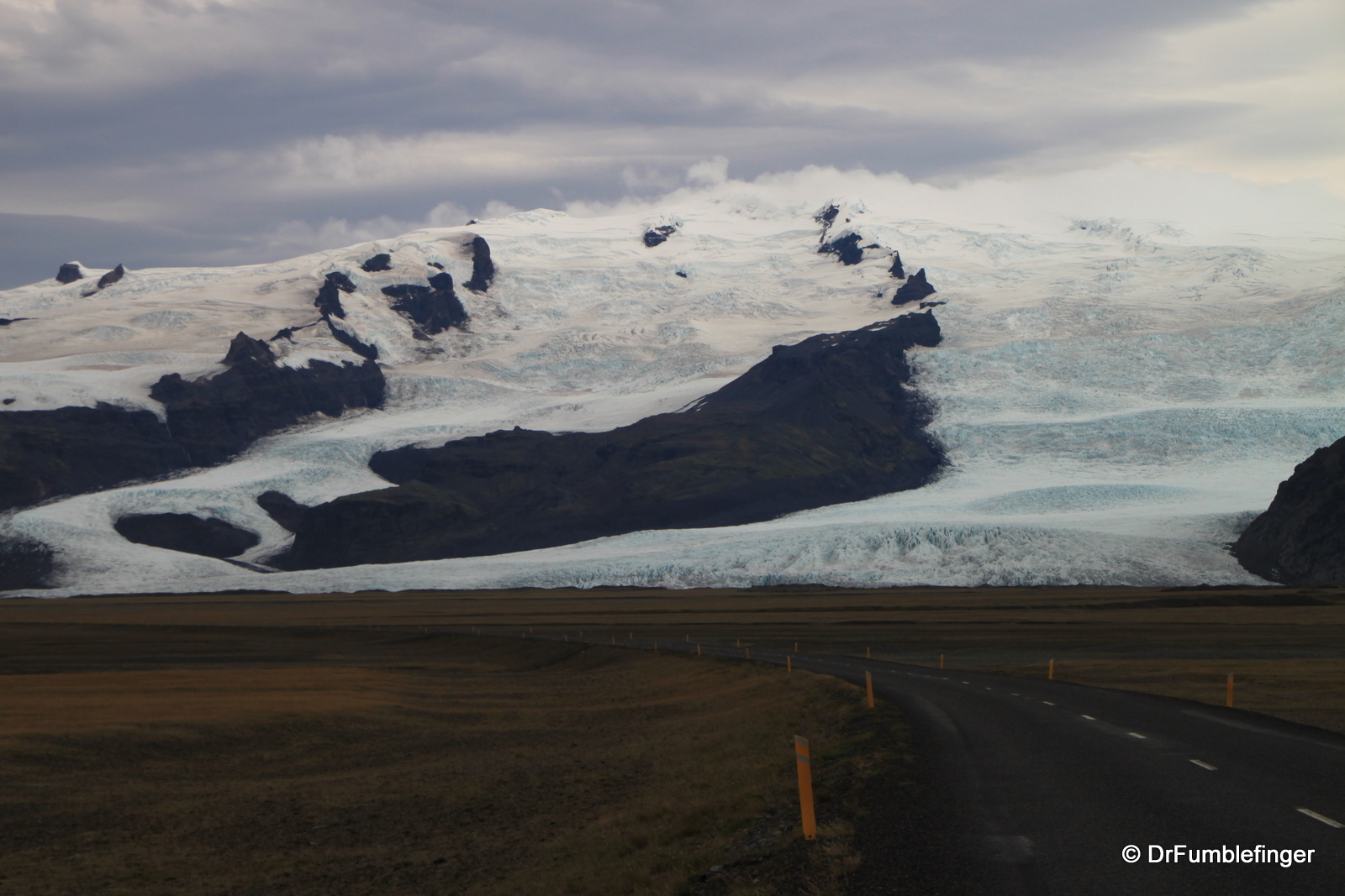
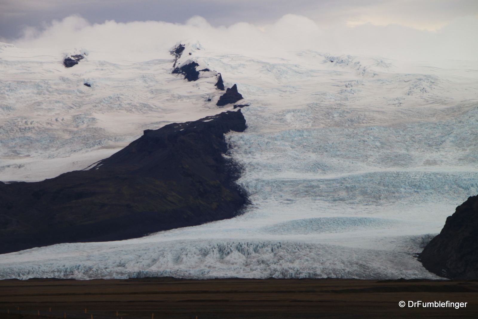
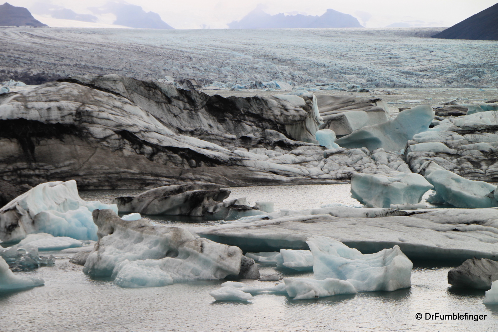
East of Vik there are vast tracts of black sand and alluvial glacial plains. Vegetation is sparse and the scene is extremely stark. Skaftafell National Park is an exception to this, offering a small ecosystem that has a milder climate and diverse flora, as well as many great hiking opportunities. It is the largest National Park in Europe and provides one of the easiest access to glaciers you’ll find anywhere as the largest glacier in Europe, Vatnajokull, comprises part of the park. Beneath the Vatnajökull ice cap lies Grímsvötn, one of Iceland’s most active volcanoes.

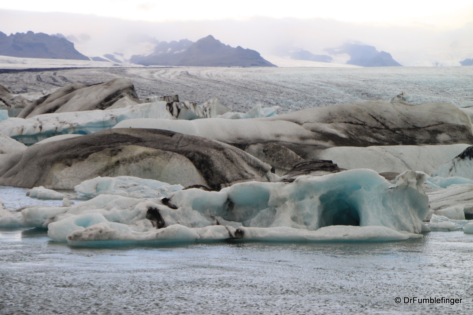
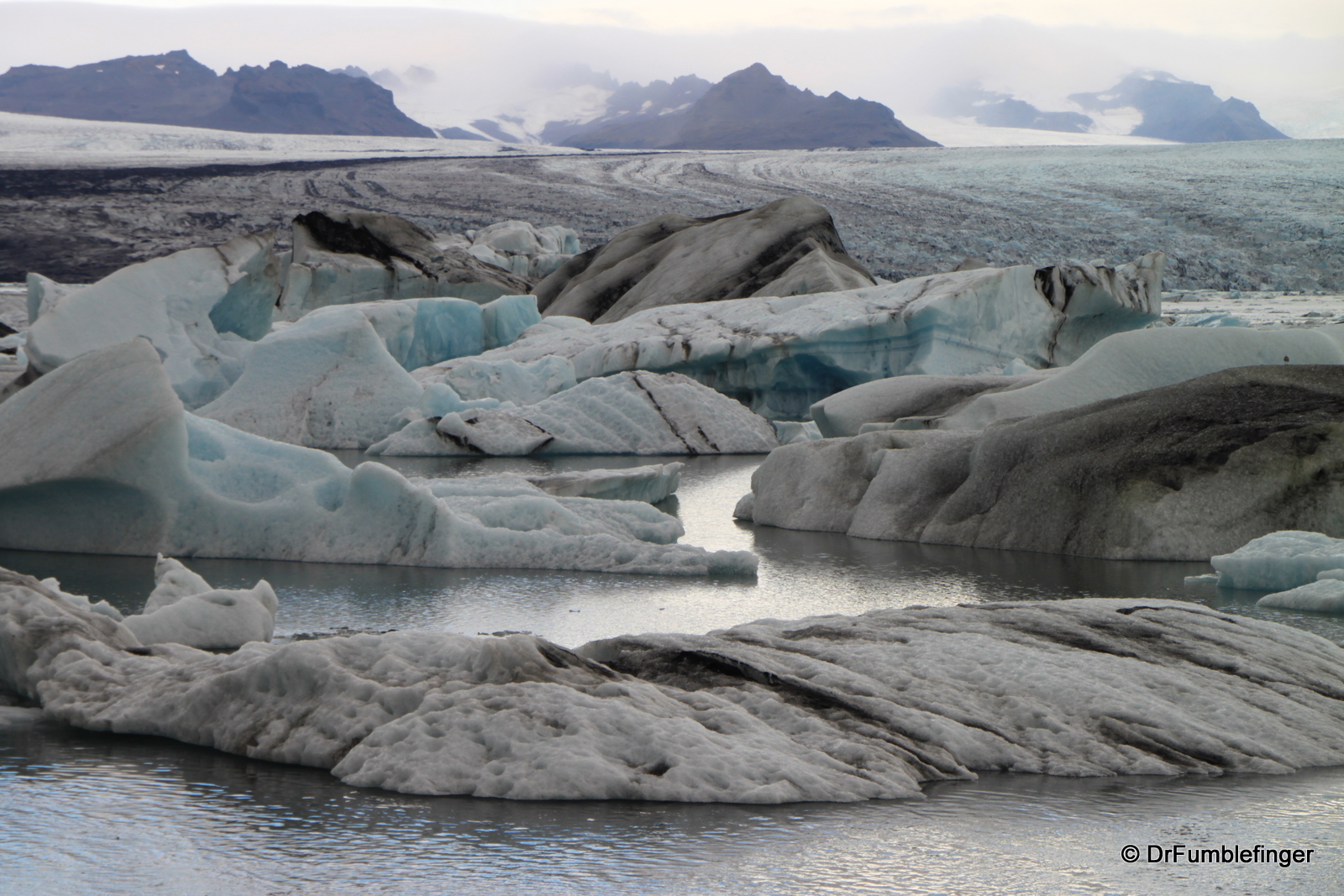
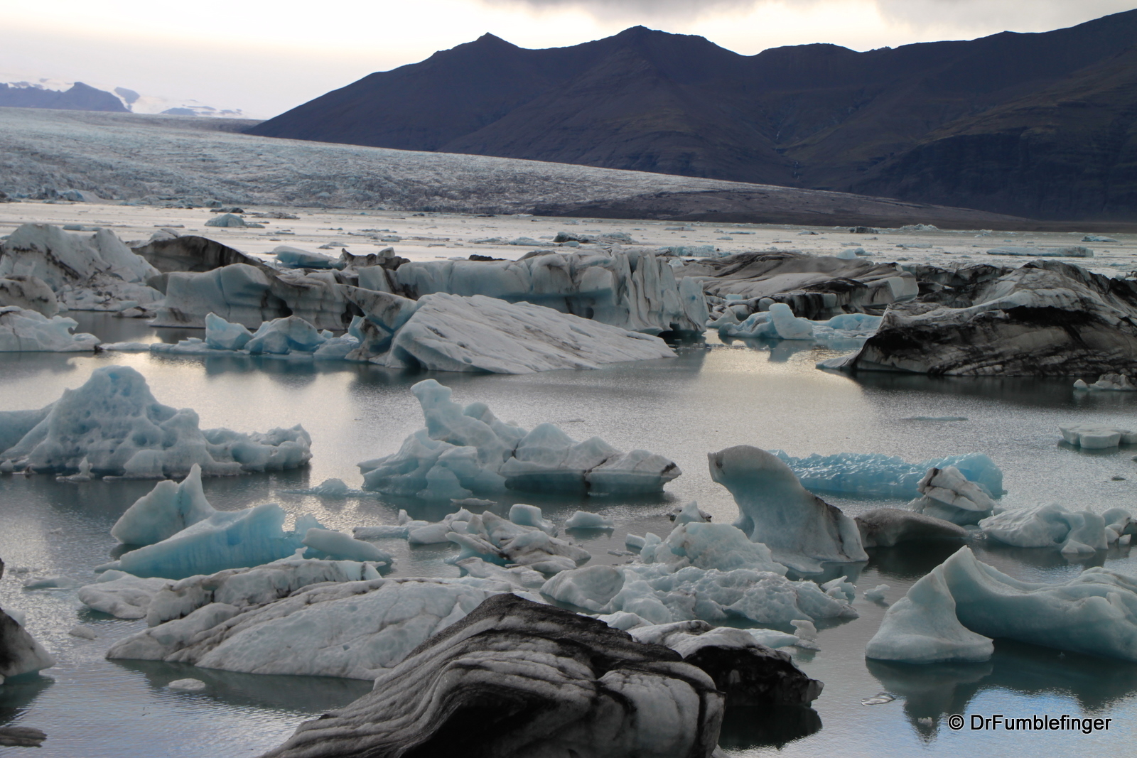
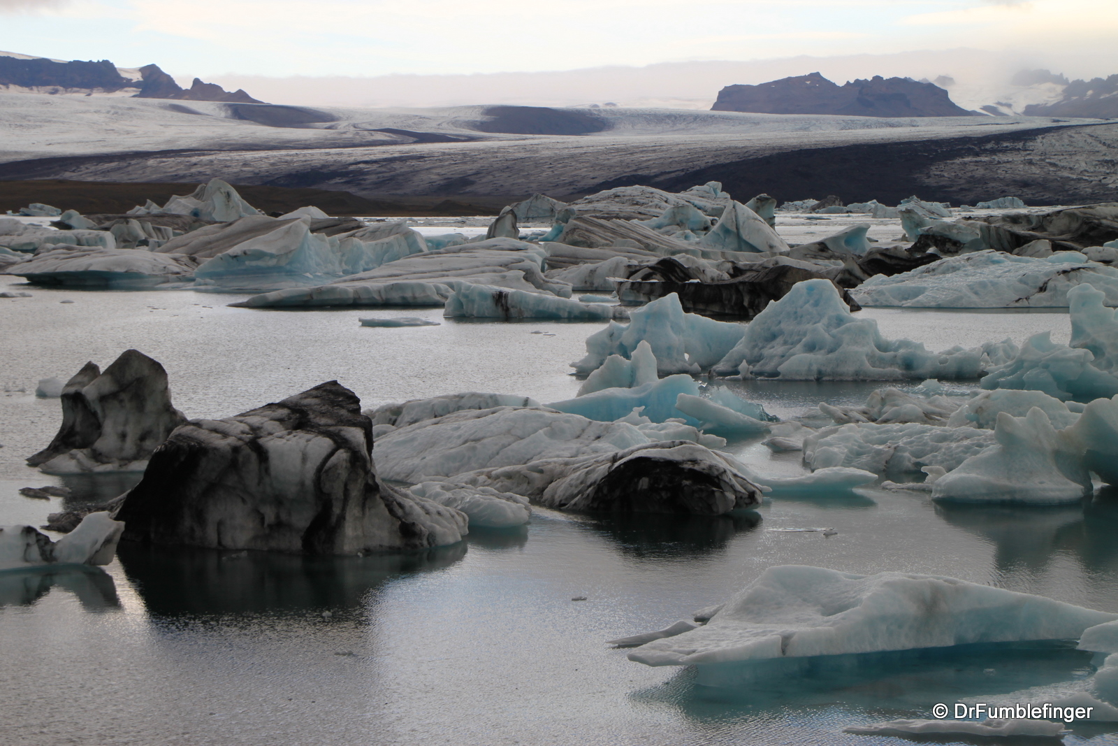
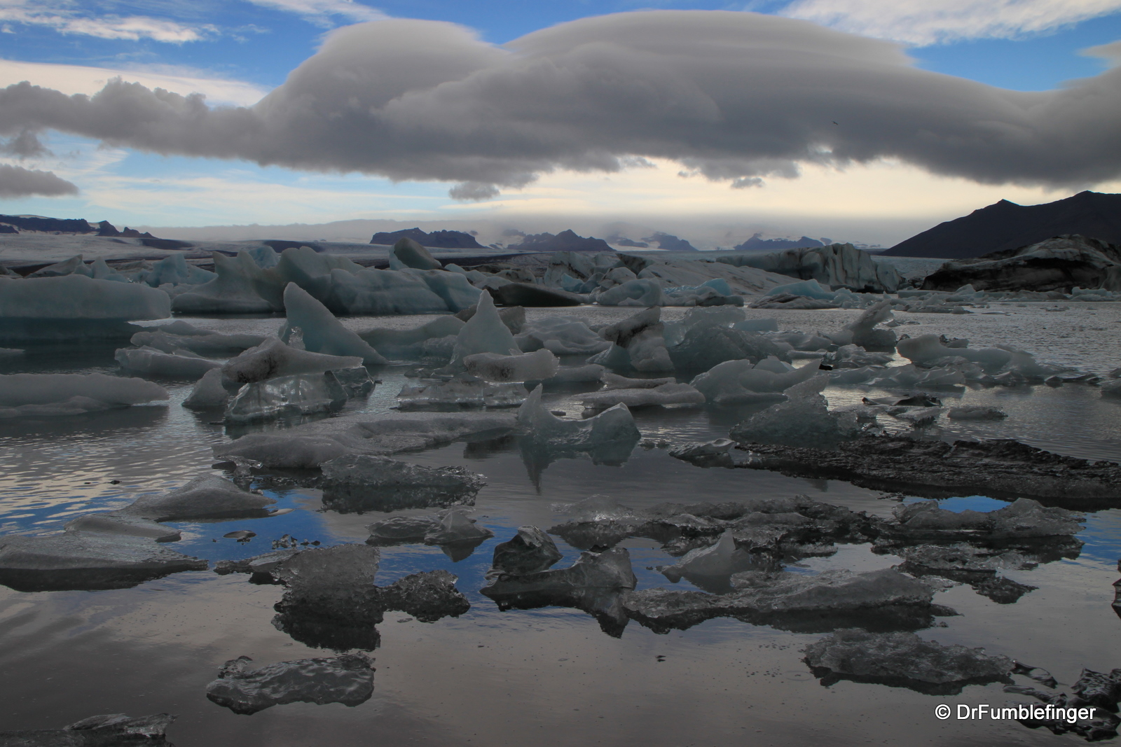
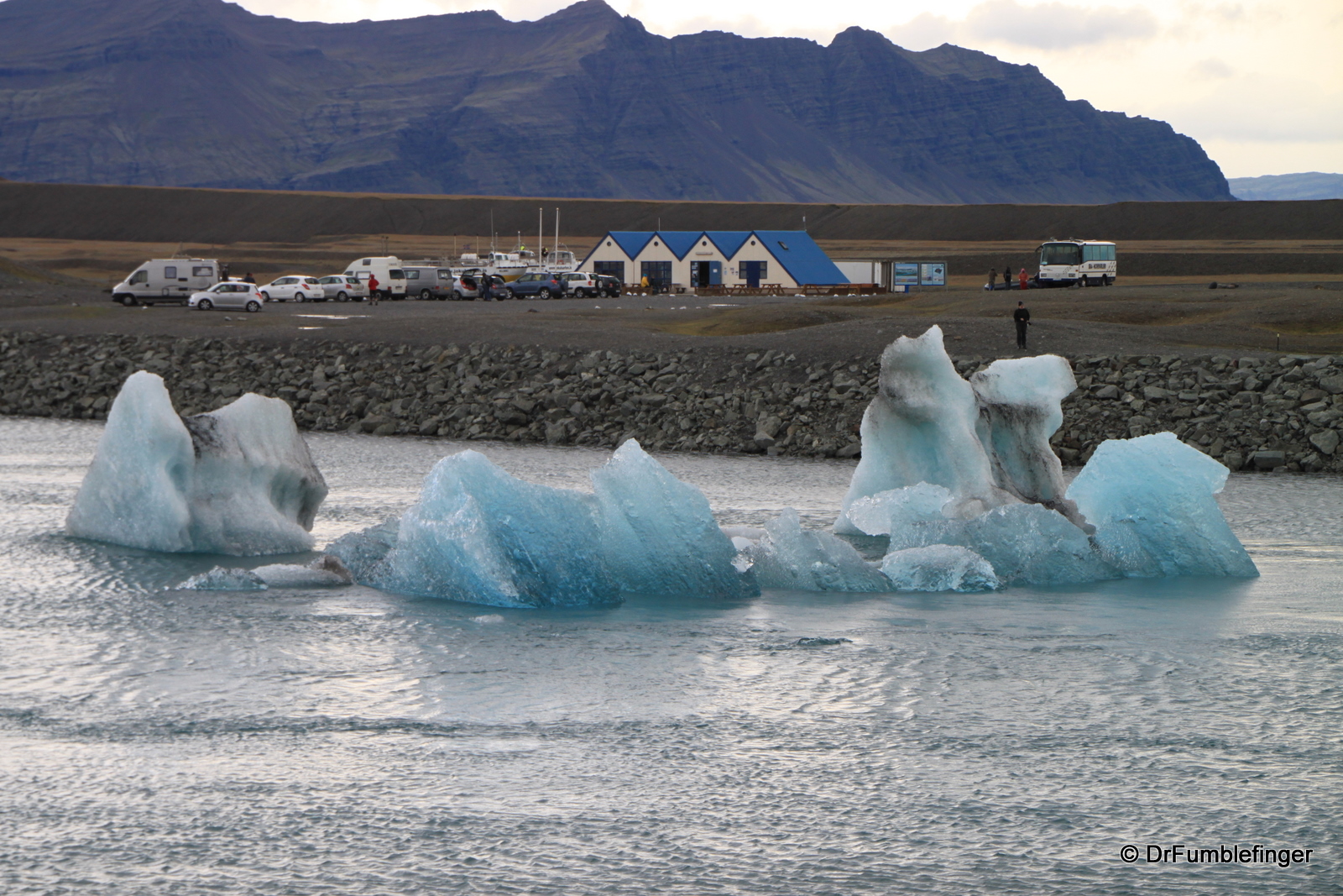
Iceberg at Jokulsarlon Lagoon
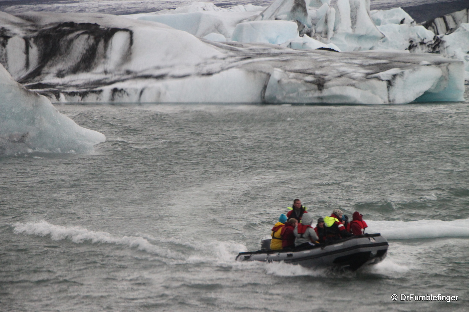
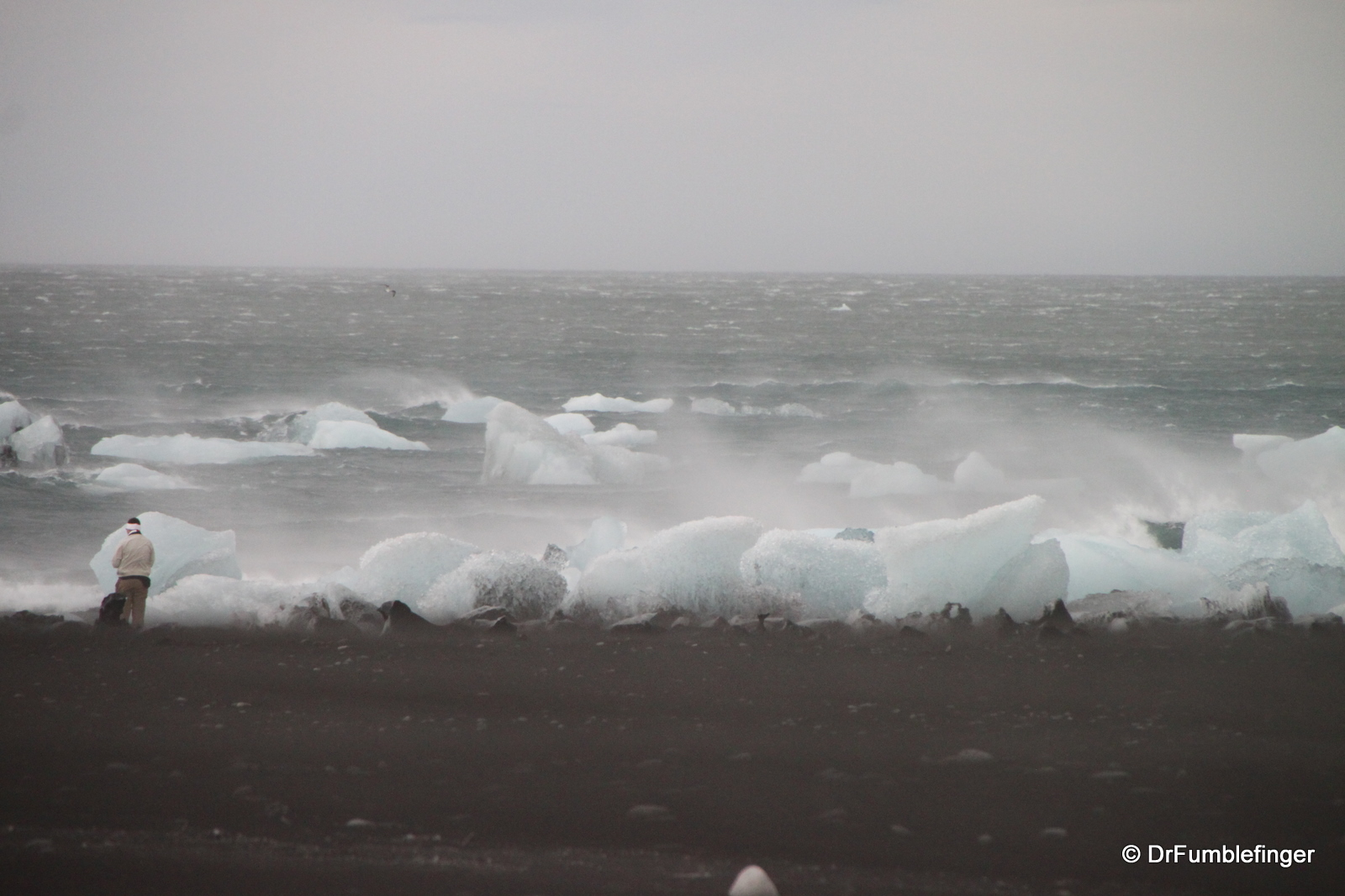
One of the highlights of a visit to South Iceland is a stop at Jokulsarlon Lagoon. This lake is filled with icebergs calved from the Vatnajokull glacier. There are thousand of icebergs (which can last for up to 5 years) in this lagoon, many eroded into unusual shapes by the elements. It’s fun to watch them finally being washed out to sea. A colony of seals has made its home in the lagoon so keep an eye out for them. Boat tours of the lagoon are provided during the tourist season, although when we visited it was much too windy for a boat tour, with wind gusts probably up to 40 mph.
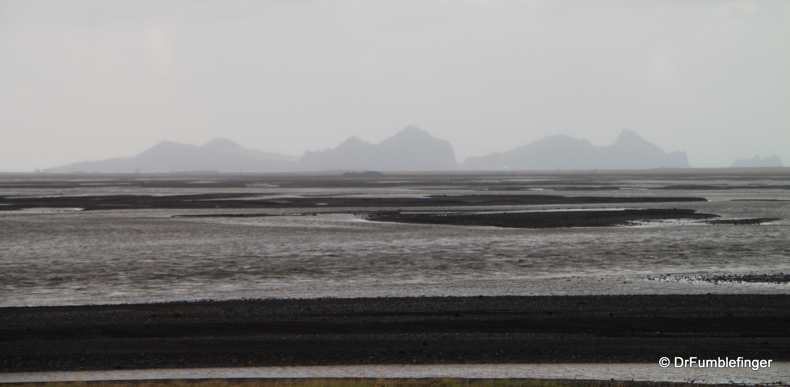
We spent more than two days in South Iceland. It would have been easy to spend a week or more here, especially if we really wanted to get into some serious hiking or hut-to-hut backpacking in the Landmannalaugar region. South Iceland offers glacier adventures, horse riding, and interesting islands, some of which you can visit (eg. Westman Islands). If you have limited amount of time to spend in Iceland and want to get out of the capitol region, I would recommend you journey into South Iceland. I don’t think you’ll be disappointed.
(Click on thumbnails to enlarge, right arrow to advance slideshow)

