After a rather long winter in Spokane, I was ready for a pleasant hike. While in my heart I’d rather head up to the mountains for a stroll in an alpine meadow, there’s way too much snow up there in April. Fortunately in Washington state we have some good springtime hiking options, mostly in the central state in the deserts around the Columbia River. In the summer these places tend to be too hot and in winter they, too, can be covered in snow. Spring and fall are the best time to try these trails.
I’d read about the Yakima Rim Skyline Trail years ago in Harvey Manning‘s classic book, the 100 Best Hikes in Washington. Manning is a legend to the local hiking community who recommended the Skyline Trail as his favorite place for a spring hike. After doing a little research I traveled to Yakima with my oldest son, Bryan, to give the trail a try.
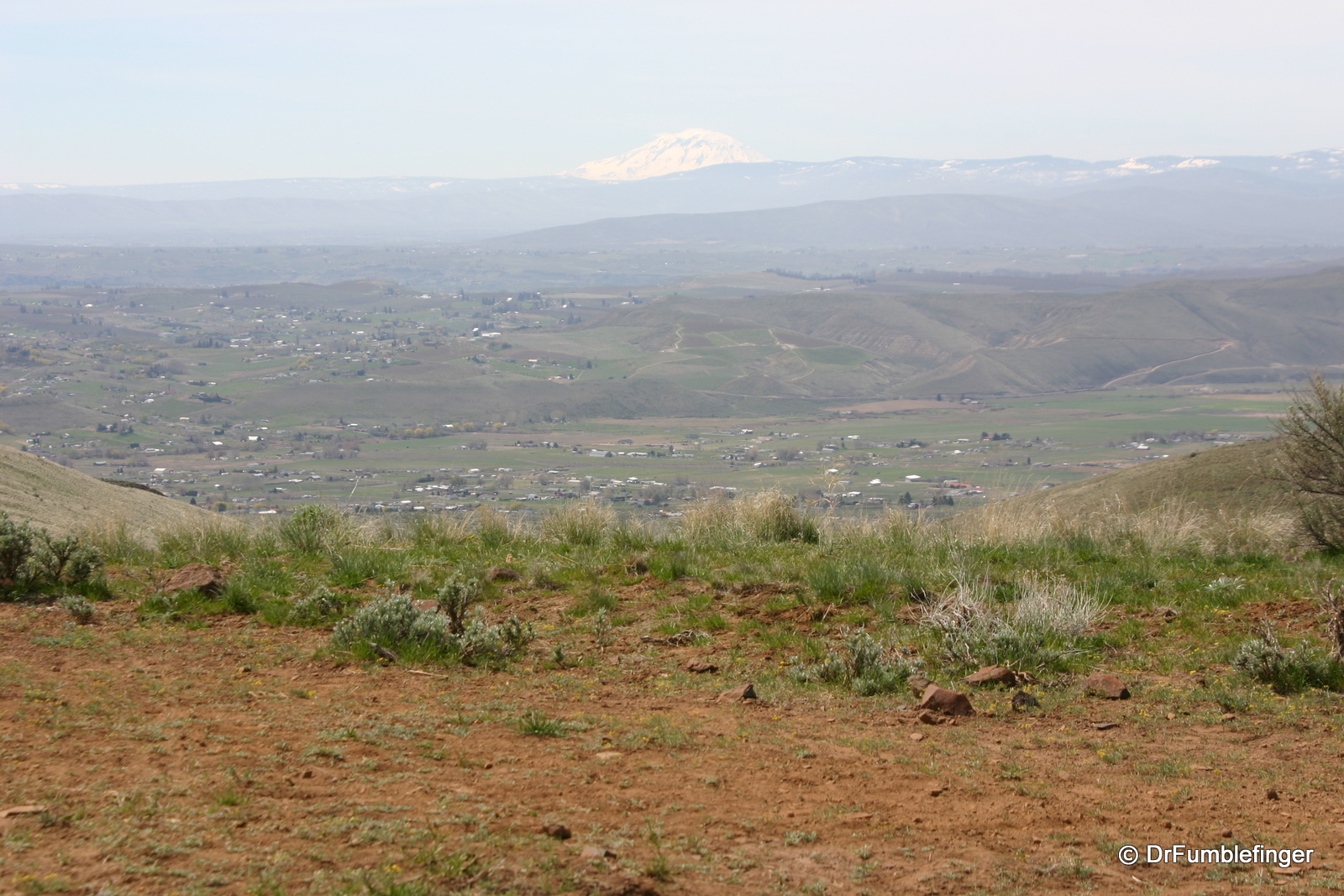
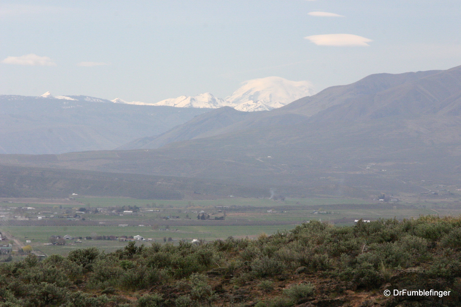
The Skyline Trail is a little hard to find. It’s located in the L T Murray Wildlife Recreation Area south of Ellensburg and just north of Yakima. For directions refer to Manning’s book — look for the roads leading into the fenced in preserve, as there is no trail signage. There are three trail-heads and the roads leading to them are terrible — much worse than most mountain roads in the state. Make sure you bring a 4 WD vehicle if you come, preferably with high chassis, off-road capabilities. We had to park some distance from the south trail-head because of how terrible the road was (and our desire to preserve the undercarriage of our sedan). The day was pleasant, sunny with blue sky and fluffy white clouds, and comfortably warm. The snow and glaciers of Mt. Rainier and Mt Adams were visible in the background.

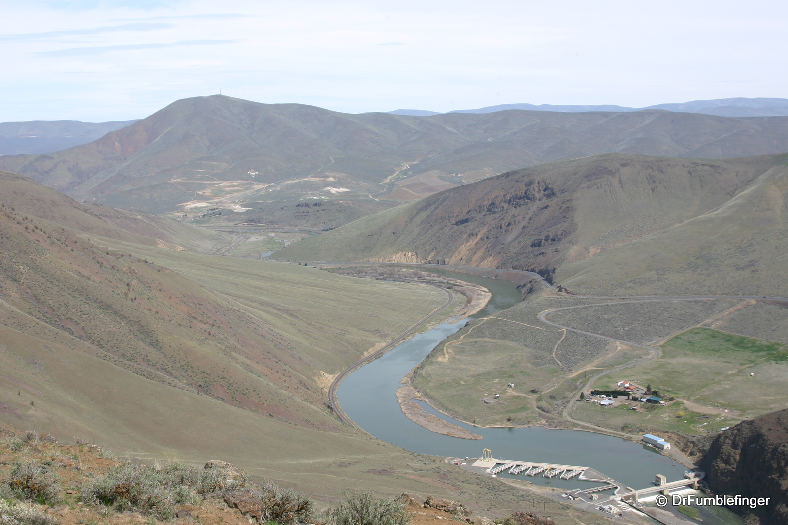
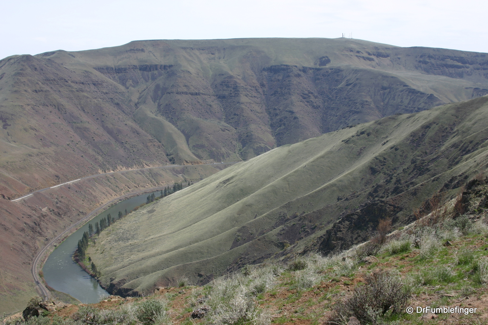
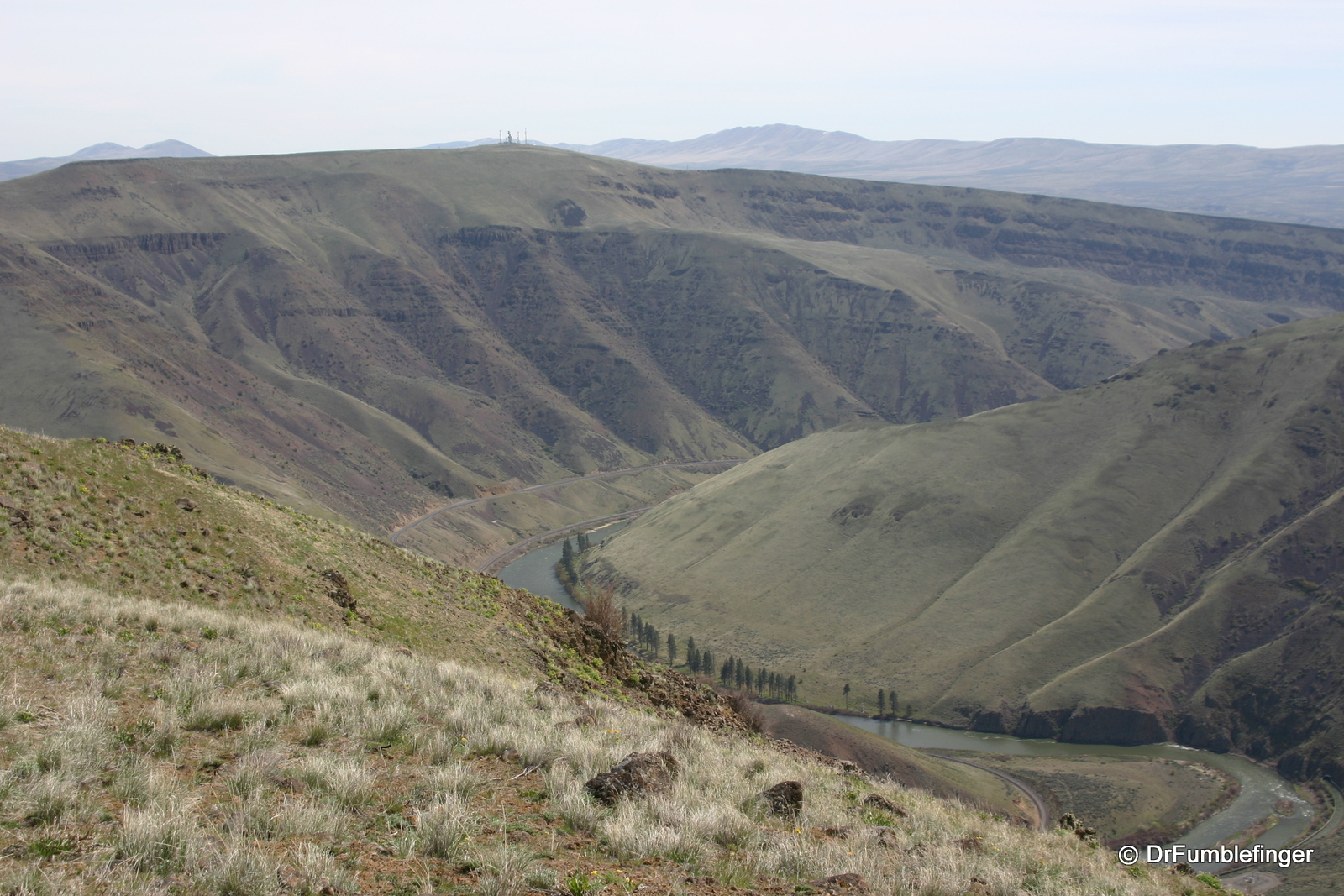
Yakima River viewed from the Skyline Trail
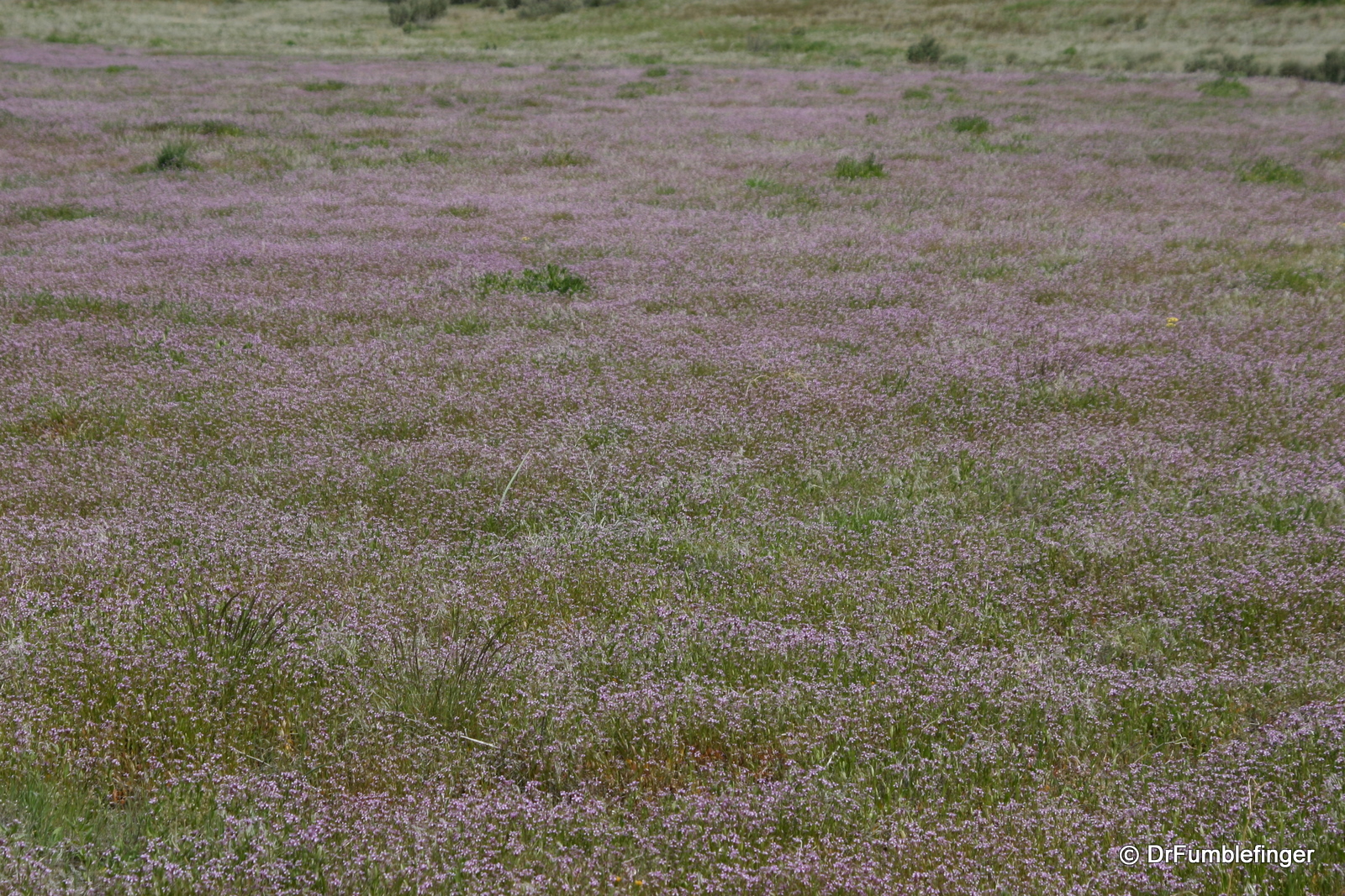
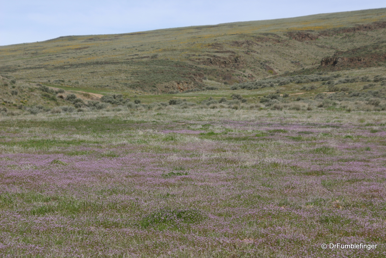
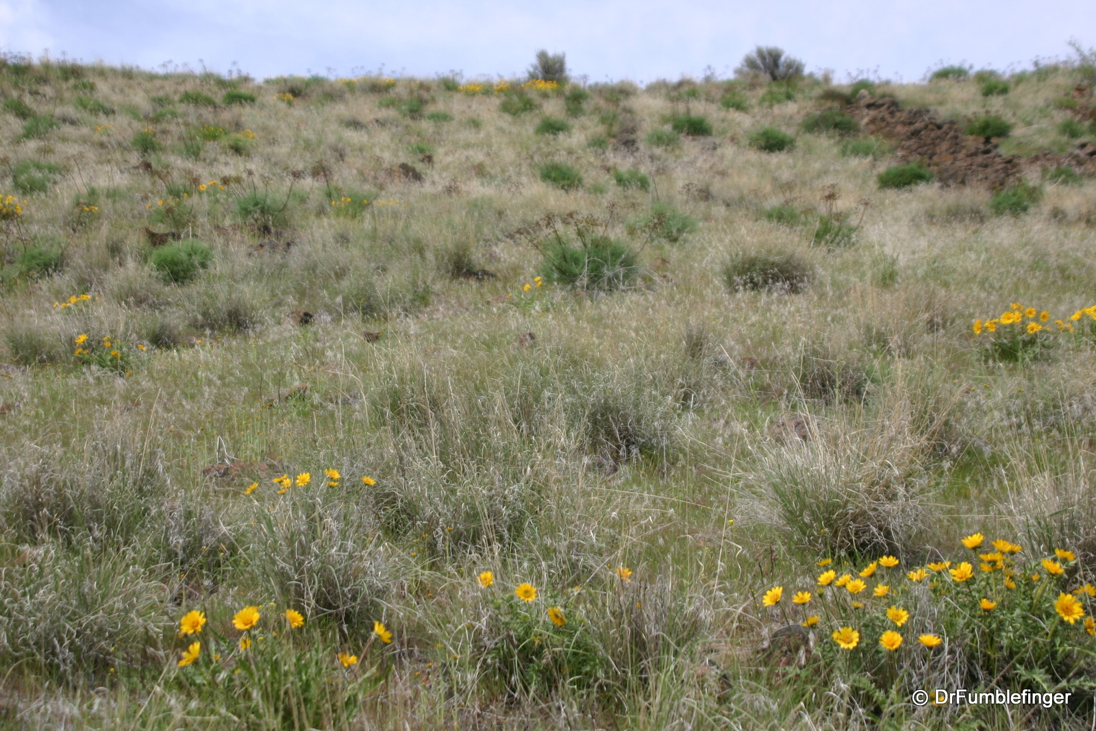
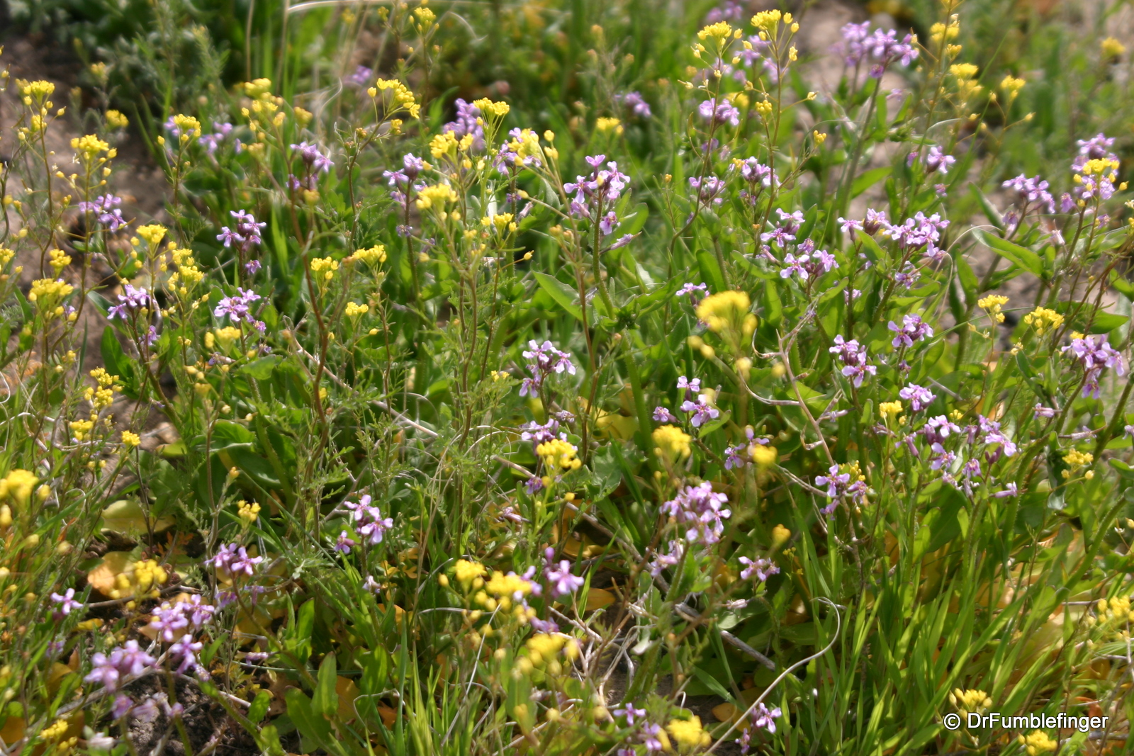
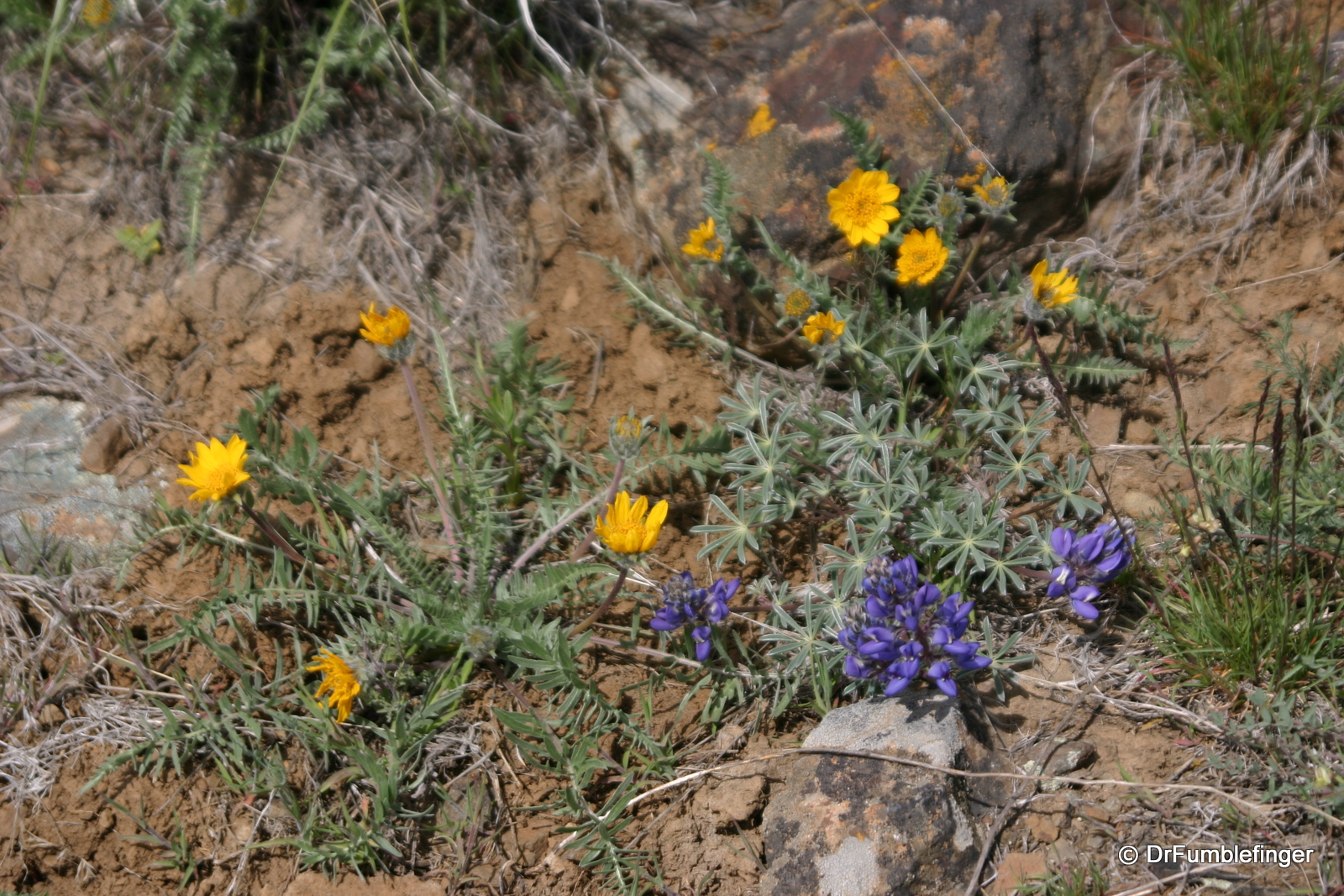
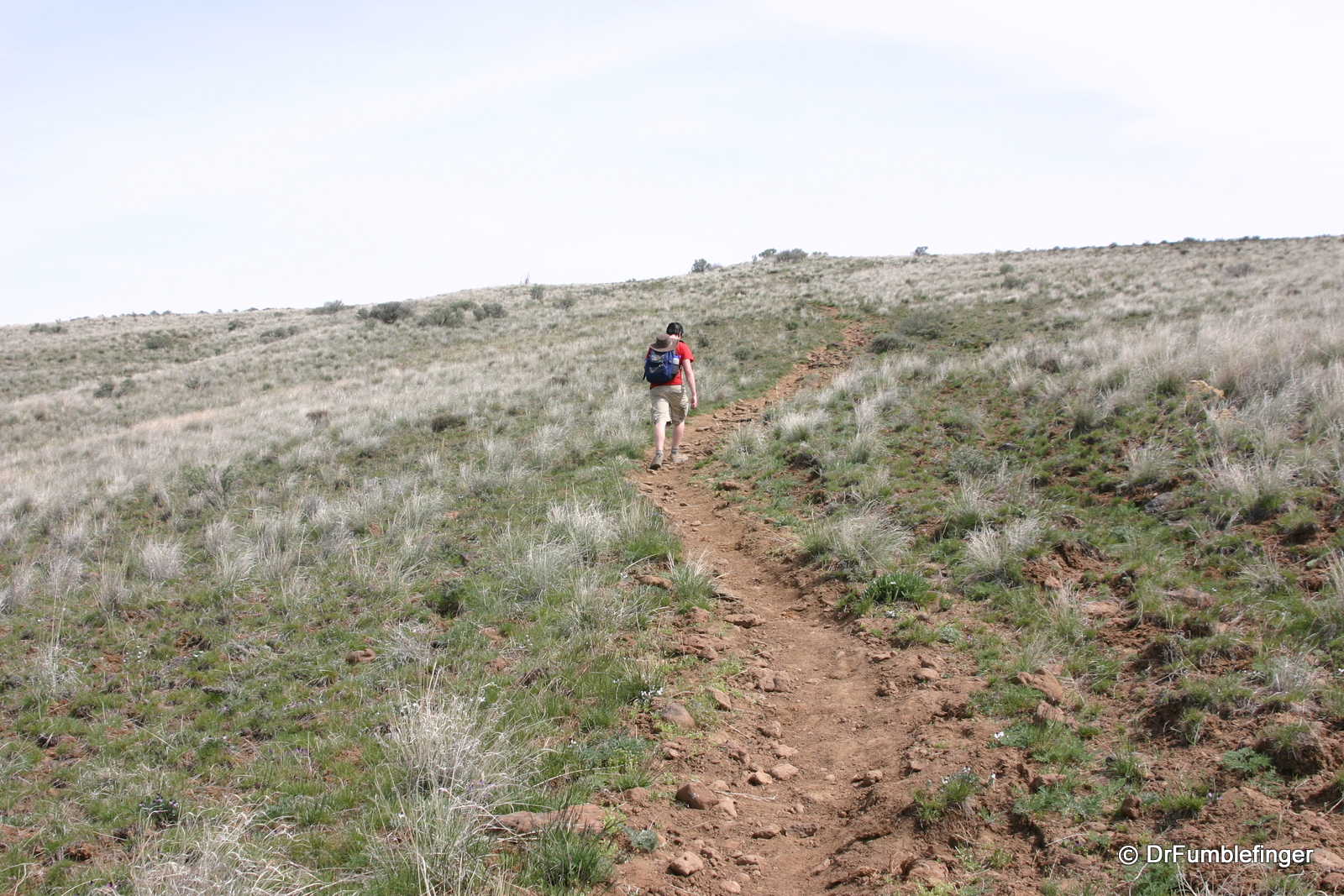
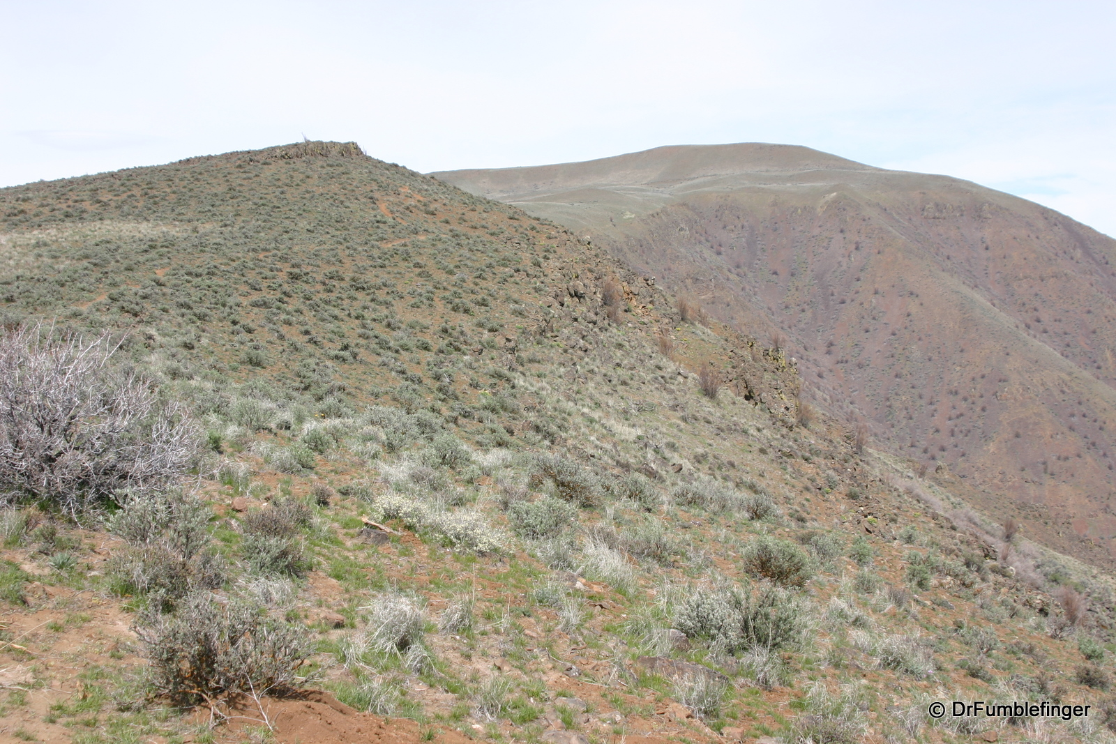
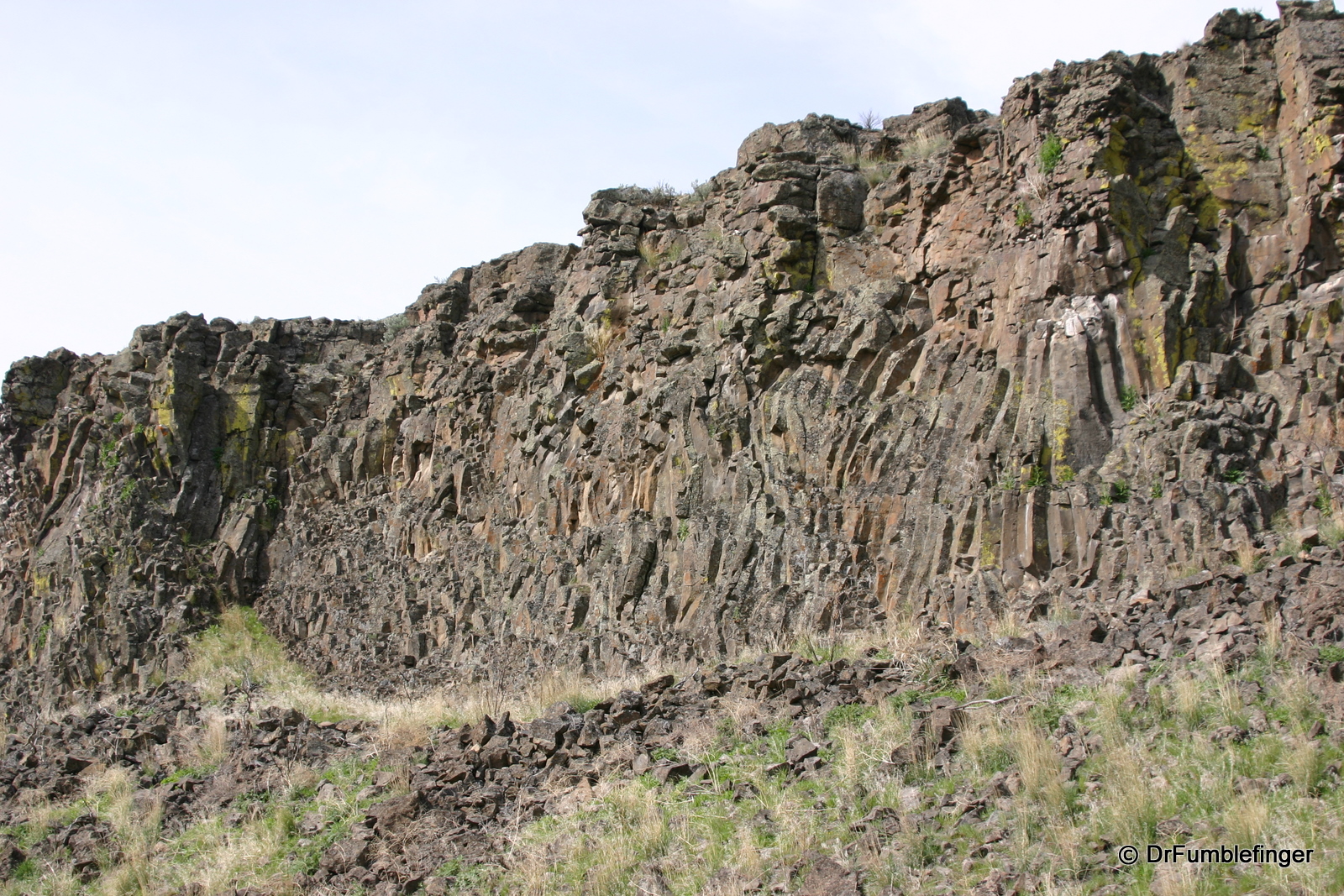
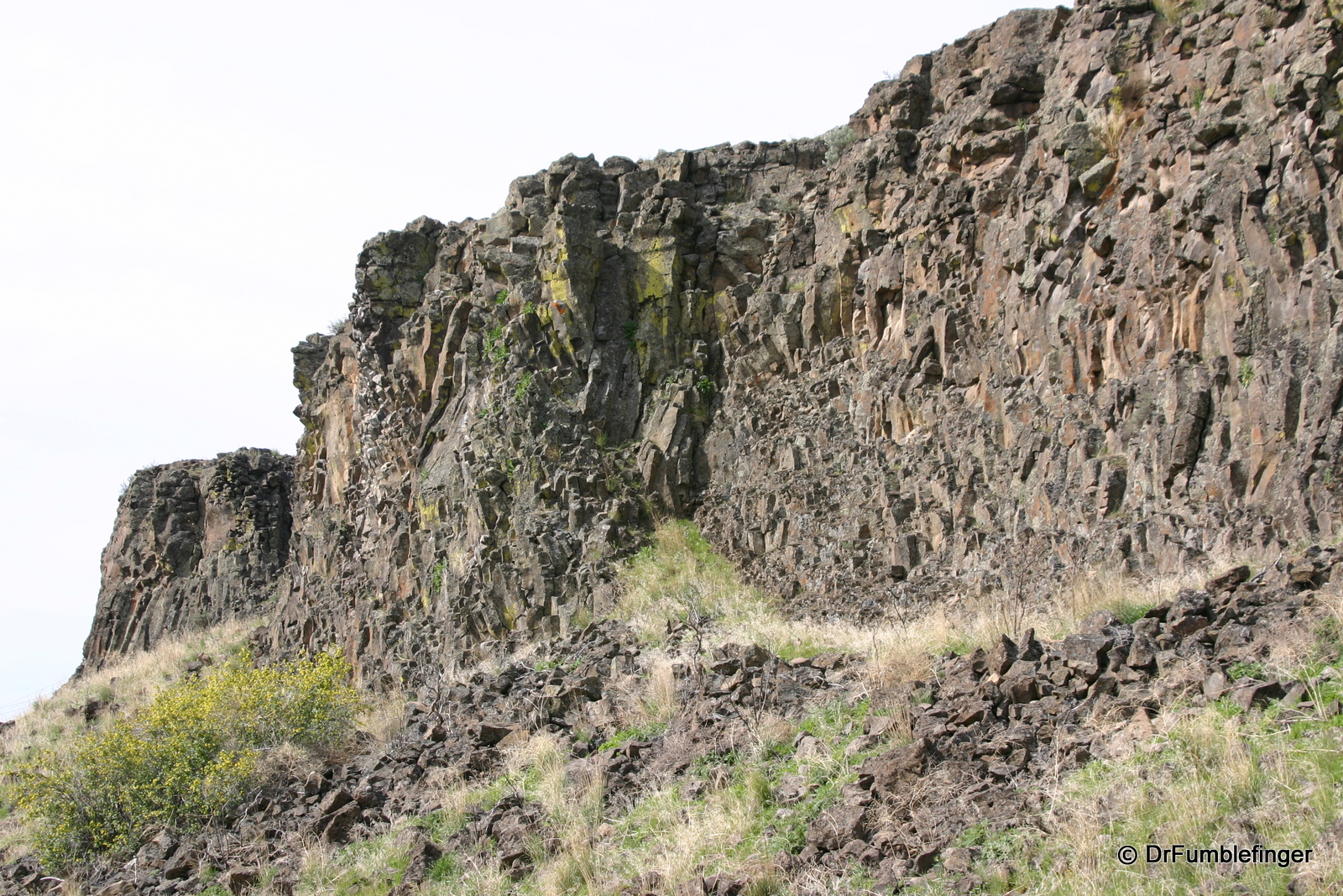
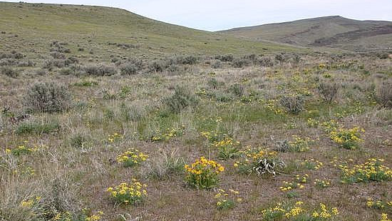
Sadly, as we got to the most southern of three trail-heads, we ran into a lot of trash beside the road — old targets, ammo shells of all types, empty bottles and cans. I love nature and consider myself a conservationist (though not an environmentalist) and I do hate it when people are cavalier about the disposal of their litter. Wildflowers were everywhere and we enjoyed the colorful palette, a soft contrast to the fairly stark hills around us. We began hiking the trail and soon worked our way through a ravine, upward to a broad meadow that took us to the cliff rim. And it is truly a canyon, with quite steep basalt walls that drop steeply into the valley below. Far below you can see the Roza Dam on the Yakima River, as well as Canyon road. The Skyline Trail itself is highlighted by a vague widely space series of wooden posts. From here the trail leads north, although its easy to walk off-trail to go south along the canyon’s edge. We chose to head north for several miles, stopped for a light lunch then backtracked and descended to our car.
There is a poorly outlined 19 mile backpacking route available and if you plan on hiking the entire route be especially careful with your water situation and be sure to have a good topographic map, as the signage on the trail is suboptimal and water is extremely limited. Also, as it is not a loop trail you will need a car at both ends and, given the rough roads, a lot of time to drive between the trail-heads.
Highlights of the walk are the wide open spaces and nice views once you gain a little altitude. Wildflowers are profuse and varied in the springtime and there are distant but lovely views of two of the Cascades volcanoes covered in ice and snow. The canyon is green in the spring but with the hot weather of summer I’d be careful hiking here because the place is known to be home to large numbers of rattlesnakes and is an extremely hot walk. Large animals, including elk, are supposed to live in the Recreation Area although we didn’t see any.
I don’t want to discourage anyone from trying this trail but personally I’ll not do it again. In the spring or fall I’d rather head out to Steamboat Rock or the Dry Falls area of the Channeled Scablands for a walk in nature.
(Click on thumbnails to enlarge, right arrow to advance slideshow)
